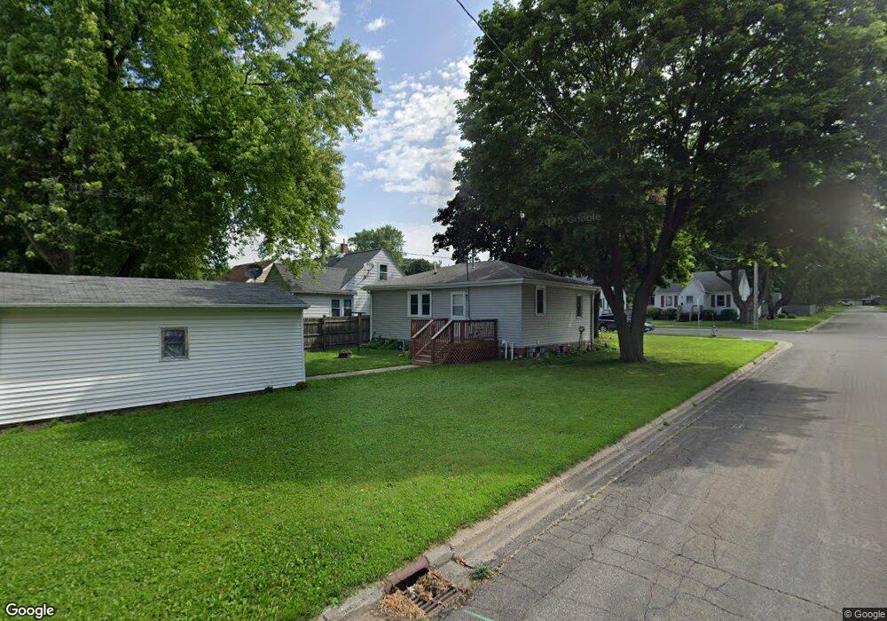
501 Saint Peter Ave Albert Lea, MN 56007
Estimated Value: $87,000 - $107,741
2
Beds
1
Bath
1,280
Sq Ft
$79/Sq Ft
Est. Value
About This Home
This home is located at 501 Saint Peter Ave, Albert Lea, MN 56007 and is currently estimated at $100,685, approximately $78 per square foot. 501 Saint Peter Ave is a home located in Freeborn County with nearby schools including Hawthorne Elementary School, Southwest Middle School, and Albert Lea Senior High School.
Ownership History
Date
Name
Owned For
Owner Type
Purchase Details
Closed on
Jul 6, 2022
Sold by
Lemons Shirley
Bought by
Dupont Stephanie
Current Estimated Value
Home Financials for this Owner
Home Financials are based on the most recent Mortgage that was taken out on this home.
Original Mortgage
$76,400
Outstanding Balance
$72,692
Interest Rate
5.1%
Mortgage Type
New Conventional
Estimated Equity
$27,993
Create a Home Valuation Report for This Property
The Home Valuation Report is an in-depth analysis detailing your home's value as well as a comparison with similar homes in the area
Home Values in the Area
Average Home Value in this Area
Purchase History
| Date | Buyer | Sale Price | Title Company |
|---|---|---|---|
| Dupont Stephanie | $84,900 | -- |
Source: Public Records
Mortgage History
| Date | Status | Borrower | Loan Amount |
|---|---|---|---|
| Open | Dupont Stephanie | $76,400 |
Source: Public Records
Tax History
| Year | Tax Paid | Tax Assessment Tax Assessment Total Assessment is a certain percentage of the fair market value that is determined by local assessors to be the total taxable value of land and additions on the property. | Land | Improvement |
|---|---|---|---|---|
| 2025 | $780 | $99,300 | $20,600 | $78,700 |
| 2024 | $766 | $70,700 | $8,200 | $62,500 |
| 2023 | $746 | $70,700 | $8,200 | $62,500 |
| 2022 | $694 | $69,600 | $8,200 | $61,400 |
| 2021 | $586 | $55,900 | $8,200 | $47,700 |
| 2020 | $596 | $47,000 | $8,200 | $38,800 |
| 2019 | $526 | $42,400 | $7,300 | $35,100 |
| 2018 | $508 | $0 | $0 | $0 |
| 2016 | $588 | $0 | $0 | $0 |
| 2015 | $592 | $0 | $0 | $0 |
| 2014 | $626 | $0 | $0 | $0 |
| 2012 | $782 | $0 | $0 | $0 |
Source: Public Records
Map
Nearby Homes
- 604 Ulstad Ave
- 1405 Johnson St
- 614 Garfield Ave
- 1715 SE Marshall St
- 808 Freeborn Ave
- 602 Minnesota Ave
- 717 Minnesota Ave
- 1200 Crestview Rd
- 1020 Saint Jacob Ave
- 824 Minnie Maddern St
- 1105 Crestview Rd
- 902 Clausen Ave
- 711 Clausen Ave
- 613 & 615 Giles Place
- 618 & 620 Giles Place
- 1916 E Main St
- 115 N Newton Ave
- 319 Glenn Rd
- 212 N Broadway Ave Unit C1
- 313 Glenn Rd
- 505 Saint Peter Ave
- 429 Saint Peter Ave
- 507 Saint Peter Ave
- 502 Columbus Ave
- 425 Saint Peter Ave
- 509 Saint Peter Ave
- 430 Columbus Ave
- 510 Columbus Ave
- 502 Saint Peter Ave
- 506 Saint Peter Ave
- 510 Saint Peter Ave
- 430 Saint Peter Ave
- 421 Saint Peter Ave
- 517 Saint Peter Ave
- 426 Columbus Ave
- 514 Columbus Ave
- 426 Saint Peter Ave
- 514 Saint Peter Ave
- 422 Columbus Ave
- 520 Columbus Ave