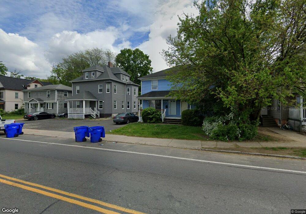
501 Wilbraham Rd Unit 503 Springfield, MA 01109
Upper Hill NeighborhoodEstimated Value: $318,603 - $411,000
4
Beds
4
Baths
1,836
Sq Ft
$199/Sq Ft
Est. Value
About This Home
This home is located at 501 Wilbraham Rd Unit 503, Springfield, MA 01109 and is currently estimated at $364,901, approximately $198 per square foot. 501 Wilbraham Rd Unit 503 is a home located in Hampden County with nearby schools including Homer Street Elementary School, John J Duggan Middle, and Springfield High School of Science and Technology.
Ownership History
Date
Name
Owned For
Owner Type
Purchase Details
Closed on
Apr 4, 2012
Sold by
Mwaura Robert W and Mwaura Robert
Bought by
Nesca Llc
Current Estimated Value
Purchase Details
Closed on
Mar 9, 2006
Sold by
Phillips Cornelius W
Bought by
Mwaura Robert W
Home Financials for this Owner
Home Financials are based on the most recent Mortgage that was taken out on this home.
Original Mortgage
$159,200
Interest Rate
6.15%
Mortgage Type
Purchase Money Mortgage
Purchase Details
Closed on
Dec 2, 2004
Sold by
Fleming Mary E
Bought by
Phillips Cornelius W
Purchase Details
Closed on
Feb 28, 2001
Sold by
Gryl Rt and Chapdelaine Roger L
Bought by
Fleming Mary E
Home Financials for this Owner
Home Financials are based on the most recent Mortgage that was taken out on this home.
Original Mortgage
$85,500
Interest Rate
7%
Mortgage Type
Purchase Money Mortgage
Purchase Details
Closed on
Oct 26, 1995
Sold by
Gryl Rlty and Chapdelaine Gerald
Bought by
Gryl Rt and Chapdelaine Roger L
Create a Home Valuation Report for This Property
The Home Valuation Report is an in-depth analysis detailing your home's value as well as a comparison with similar homes in the area
Home Values in the Area
Average Home Value in this Area
Purchase History
| Date | Buyer | Sale Price | Title Company |
|---|---|---|---|
| Nesca Llc | $75,000 | -- | |
| Mwaura Robert W | $199,000 | -- | |
| Phillips Cornelius W | $120,000 | -- | |
| Fleming Mary E | $95,000 | -- | |
| Gryl Rt | $170,000 | -- |
Source: Public Records
Mortgage History
| Date | Status | Borrower | Loan Amount |
|---|---|---|---|
| Previous Owner | Mwaura Robert W | $159,200 | |
| Previous Owner | Mwaura Robert W | $39,800 | |
| Previous Owner | Gryl Rt | $85,500 | |
| Previous Owner | Gryl Rt | $105,550 | |
| Closed | Gryl Rt | $4,750 |
Source: Public Records
Tax History
| Year | Tax Paid | Tax Assessment Tax Assessment Total Assessment is a certain percentage of the fair market value that is determined by local assessors to be the total taxable value of land and additions on the property. | Land | Improvement |
|---|---|---|---|---|
| 2025 | $4,304 | $274,500 | $31,000 | $243,500 |
| 2024 | $4,471 | $278,400 | $31,000 | $247,400 |
| 2023 | $3,905 | $227,100 | $28,200 | $198,900 |
| 2022 | $3,779 | $200,800 | $26,300 | $174,500 |
| 2021 | $3,608 | $190,900 | $18,700 | $172,200 |
| 2020 | $3,170 | $162,300 | $18,700 | $143,600 |
| 2019 | $3,072 | $156,100 | $15,900 | $140,200 |
| 2018 | $3,037 | $157,400 | $15,900 | $141,500 |
| 2017 | $3,037 | $154,500 | $15,000 | $139,500 |
| 2016 | $2,782 | $141,500 | $15,000 | $126,500 |
| 2015 | $2,791 | $141,900 | $15,000 | $126,900 |
Source: Public Records
Map
Nearby Homes
- 34 Elsie St
- 87 Fenwick St
- 11 Ina St
- 111 Marlborough St
- 89 Bristol St
- 31-33 Suffolk St
- 135-137 Suffolk St
- 283 Wilbraham Rd
- 48-50 Dresden St
- 750 Wilbraham Rd
- 124-126 Westford Cir
- 236 Pondview Dr
- 0 NS (24) Alden St
- 21 Westford Cir
- 23 Eldert St
- 17 Bushwick Place
- 46 Mapledell St
- 15 Kenyon St
- 46 Balis St
- 65 Montrose St
- 509 Wilbraham Rd
- 499 Wilbraham Rd
- 497 Wilbraham Rd
- 499 Wilbraham Rd Unit 2
- 511 Wilbraham Rd Unit 513
- 491 Wilbraham Rd Unit 493
- 12 Highland St Unit 14
- 18 Highland St
- 3 Fenwick St
- 22 Highland St Unit 24
- 22-24 Highland St
- 500 Wilbraham Rd Unit 502
- 494 Wilbraham Rd Unit 498
- 28 Highland St
- 519 Wilbraham Rd
- 28 Highland St
- 481 Wilbraham Rd
- 525 Wilbraham Rd
- 14 Fenwick St
- 36 Highland St
Your Personal Tour Guide
Ask me questions while you tour the home.