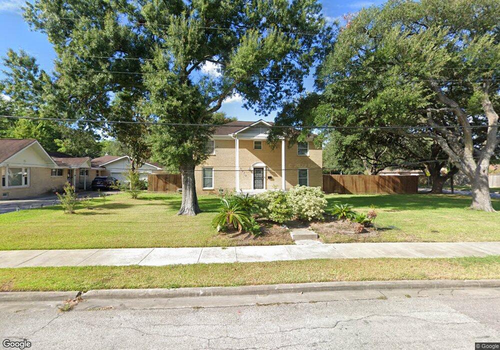
5010 Briscoe St Houston, TX 77033
Sunnyside NeighborhoodEstimated Value: $304,000 - $430,661
5
Beds
6
Baths
3,500
Sq Ft
$98/Sq Ft
Est. Value
About This Home
This home is located at 5010 Briscoe St, Houston, TX 77033 and is currently estimated at $342,165, approximately $97 per square foot. 5010 Briscoe St is a home located in Harris County with nearby schools including Bastian Elementary School, Attucks Middle School, and Worthing High School.
Ownership History
Date
Name
Owned For
Owner Type
Purchase Details
Closed on
May 25, 2017
Sold by
Roberts Jaromey R
Bought by
Johnson Tanelle Moreen
Current Estimated Value
Home Financials for this Owner
Home Financials are based on the most recent Mortgage that was taken out on this home.
Original Mortgage
$99,750
Outstanding Balance
$82,657
Interest Rate
3.97%
Mortgage Type
New Conventional
Estimated Equity
$259,508
Purchase Details
Closed on
Nov 26, 2013
Sold by
Roberts Jaromey R
Bought by
Morris Jarmese Lala Roberts
Purchase Details
Closed on
Feb 24, 1994
Sold by
Brown Robert Austin
Bought by
Roberts Mary Louise Brown
Create a Home Valuation Report for This Property
The Home Valuation Report is an in-depth analysis detailing your home's value as well as a comparison with similar homes in the area
Home Values in the Area
Average Home Value in this Area
Purchase History
| Date | Buyer | Sale Price | Title Company |
|---|---|---|---|
| Johnson Tanelle Moreen | -- | None Available | |
| Morris Jarmese Lala Roberts | -- | None Available | |
| Roberts Mary Louise Brown | -- | Texas American Title |
Source: Public Records
Mortgage History
| Date | Status | Borrower | Loan Amount |
|---|---|---|---|
| Open | Johnson Tanelle Moreen | $99,750 |
Source: Public Records
Tax History Compared to Growth
Tax History
| Year | Tax Paid | Tax Assessment Tax Assessment Total Assessment is a certain percentage of the fair market value that is determined by local assessors to be the total taxable value of land and additions on the property. | Land | Improvement |
|---|---|---|---|---|
| 2025 | $2,853 | $377,280 | $235,000 | $142,280 |
| 2024 | $2,853 | $377,280 | $235,000 | $142,280 |
| 2023 | $2,853 | $401,473 | $235,000 | $166,473 |
| 2022 | $4,039 | $326,736 | $188,000 | $138,736 |
| 2021 | $3,886 | $247,165 | $99,875 | $147,290 |
| 2020 | $3,671 | $247,165 | $99,875 | $147,290 |
| 2019 | $3,487 | $164,718 | $58,750 | $105,968 |
| 2018 | $2,247 | $125,280 | $23,500 | $101,780 |
| 2017 | $3,168 | $125,280 | $23,500 | $101,780 |
| 2016 | $2,638 | $104,327 | $23,500 | $80,827 |
| 2015 | $3,256 | $104,327 | $23,500 | $80,827 |
| 2014 | $3,256 | $126,646 | $23,500 | $103,146 |
Source: Public Records
Map
Nearby Homes
- 4843 Bricker St
- 8107 Calhoun Rd
- 4830 Teton St
- 4930 Teton St
- 8201 Calhoun Rd Unit A/B
- 5115 Briscoe St Unit A/B
- 4741 Bricker St
- 4911 Edfield St
- 5007 Edfield St
- 5019 Edfield St
- 4718 Teton St
- 7810 Darnay Dr
- 4903 Mayflower St
- 4614 Redbud St
- 4638 Sunflower St Unit 9
- 4607 Bricker St
- 4608 White Rock St
- 7905 Rock Rose St
- 8533 Amadwe St Unit A/B
- 4548 Briscoe St
- 8115 Coffee St
- 5022 Briscoe St
- 0 Coffee St
- 4846 Briscoe St
- 4843 White Rock St
- 5026 Briscoe St
- 5013 Briscoe St
- 4844 Briscoe St
- 8203 Coffee St
- 5028 Briscoe St
- 0 White Rock Unit 75603444
- 0 White Rock Unit 42643022
- 0 White Rock Unit 25155213
- 4840 Briscoe St
- 5003 Briscoe St
- 5007 Briscoe St
- 5007 Briscoe St Unit A/B
- 5011 Bricker St
- 4840 White Rock St
- 4843 Briscoe St