5010 Brophy Rd Eagle Point, OR 97524
Estimated Value: $520,000 - $781,975
3
Beds
3
Baths
2,155
Sq Ft
$301/Sq Ft
Est. Value
About This Home
This home is located at 5010 Brophy Rd, Eagle Point, OR 97524 and is currently estimated at $648,658, approximately $301 per square foot. 5010 Brophy Rd is a home located in Jackson County with nearby schools including Eagle Rock Elementary School, Eagle Point Middle School, and White Mountain Middle School.
Ownership History
Date
Name
Owned For
Owner Type
Purchase Details
Closed on
Apr 21, 2010
Sold by
Mccrillis John D and Mccrillis Pamela D
Bought by
Mccrillis John David and Mccrillis Pamela D
Current Estimated Value
Purchase Details
Closed on
Feb 20, 2000
Sold by
Millard Hugh and Millard Galynne
Bought by
Mccrillis John D and Mccrillis Pamela D
Create a Home Valuation Report for This Property
The Home Valuation Report is an in-depth analysis detailing your home's value as well as a comparison with similar homes in the area
Purchase History
| Date | Buyer | Sale Price | Title Company |
|---|---|---|---|
| Mccrillis John David | -- | None Available | |
| Mccrillis John D | $118,000 | Jackson County Title |
Source: Public Records
Tax History
| Year | Tax Paid | Tax Assessment Tax Assessment Total Assessment is a certain percentage of the fair market value that is determined by local assessors to be the total taxable value of land and additions on the property. | Land | Improvement |
|---|---|---|---|---|
| 2026 | $4,974 | $455,710 | -- | -- |
| 2025 | $4,854 | $442,440 | $191,740 | $250,700 |
| 2024 | $4,854 | $429,560 | $186,180 | $243,380 |
| 2023 | $4,688 | $417,050 | $180,750 | $236,300 |
| 2022 | $4,561 | $417,050 | $180,750 | $236,300 |
| 2021 | $4,428 | $404,910 | $175,480 | $229,430 |
| 2020 | $4,811 | $393,120 | $170,360 | $222,760 |
| 2019 | $4,749 | $370,560 | $160,560 | $210,000 |
| 2018 | $4,641 | $359,770 | $155,900 | $203,870 |
| 2017 | $4,531 | $359,770 | $155,900 | $203,870 |
| 2016 | $4,414 | $339,130 | $146,930 | $192,200 |
| 2015 | $4,262 | $339,130 | $146,930 | $192,200 |
| 2014 | $4,142 | $319,670 | $138,490 | $181,180 |
Source: Public Records
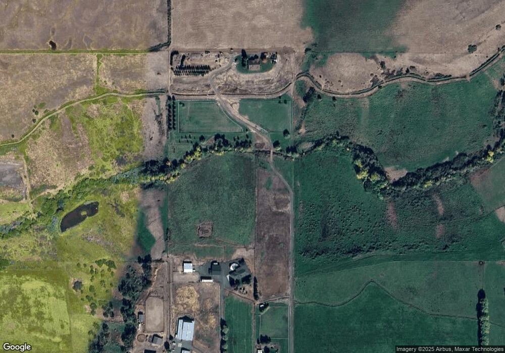
Map
Nearby Homes
- 1881 Brophy Rd
- 2795 Ball Rd
- 460 Montclair Way
- 633 E Archwood Dr Unit 89
- 633 E Archwood Dr Unit 86
- 633 E Archwood Dr Unit 44
- 633 E Archwood Dr Unit 12
- 633 E Archwood Dr Unit 70
- 633 E Archwood Dr Unit 53
- 633 E Archwood Dr Unit 130
- 633 E Archwood Dr Unit 125
- 633 E Archwood Dr Unit 59
- 633 E Archwood Dr Unit 43
- 438 Westminster Dr
- 426 Westminster Dr
- 1017 Havenwood Dr
- 277 Cambridge Terrace
- 1918 Stevens Rd
- 21 Cerulean Terrace
- 417 E Rolling Hills Dr
- 5018 Brophy Rd
- 5030 Brophy Rd
- 0 Brophy Rd
- 4646 Brophy Rd
- 3660 Brophy Rd
- 3660 Brophy Rd
- 2373 Brownsboro Hwy
- 5107 Brophy Rd
- 5303 Brophy Rd
- 2070 Brownsboro Hwy
- 742 Brophy Rd
- 2404 Brownsboro Hwy
- 2621 Brownsboro Hwy
- 2230 Brownsboro Hwy
- 2713 Brownsboro Hwy
- 2300 Brownsboro Hwy
- 2650 Brownsboro Hwy
- 1555 Brownsboro Hwy
- 1555 Brownsboro Hwy
- 178 E Main Street 178 & 10
Your Personal Tour Guide
Ask me questions while you tour the home.