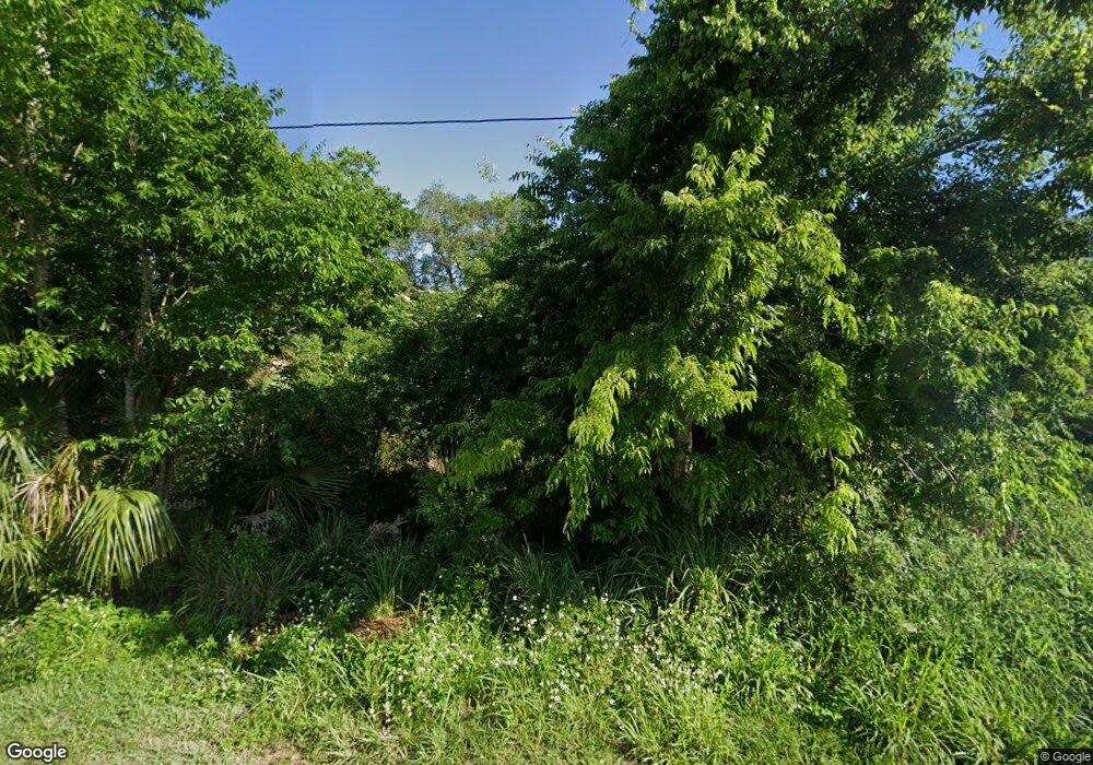
Estimated Value: $302,000 - $310,000
Studio
--
Bath
--
Sq Ft
10,454
Sq Ft Lot
About This Home
This home is located at 5010 Jean St, Cocoa, FL 32927 and is currently estimated at $306,000. 5010 Jean St is a home located in Brevard County with nearby schools including Atlantis Elementary School, Space Coast Junior/Senior High School, and Sculptor Charter School.
Ownership History
Date
Name
Owned For
Owner Type
Purchase Details
Closed on
Mar 28, 2011
Sold by
Canter Karen A
Bought by
Canter Karen Ashe and The Karen Ashe Canter Living T
Current Estimated Value
Purchase Details
Closed on
Jun 12, 2008
Sold by
Holiday Builders Construction Of Fl Llc
Bought by
Canter Karen A
Purchase Details
Closed on
Jan 19, 2006
Sold by
Two Boys Land Group Llc
Bought by
Holiday Builders Inc
Purchase Details
Closed on
Nov 5, 2004
Sold by
Loerke Daniel C
Bought by
Two Boys Land Group Llc
Purchase Details
Closed on
Aug 7, 1998
Sold by
Hoskin John
Bought by
Loerke Daniel C
Purchase Details
Closed on
Nov 19, 1993
Sold by
Sutton Peter M and Sutton Diana M
Bought by
Hoskin John
Create a Home Valuation Report for This Property
The Home Valuation Report is an in-depth analysis detailing your home's value as well as a comparison with similar homes in the area
Home Values in the Area
Average Home Value in this Area
Purchase History
| Date | Buyer | Sale Price | Title Company |
|---|---|---|---|
| Canter Karen Ashe | -- | None Available | |
| Canter Karen A | $6,500 | Secure Title Ins Co Inc | |
| Holiday Builders Inc | $75,000 | Hbi Title Company | |
| Two Boys Land Group Llc | $10,000 | -- | |
| Loerke Daniel C | $8,000 | -- | |
| Hoskin John | $9,500 | -- |
Source: Public Records
Tax History Compared to Growth
Tax History
| Year | Tax Paid | Tax Assessment Tax Assessment Total Assessment is a certain percentage of the fair market value that is determined by local assessors to be the total taxable value of land and additions on the property. | Land | Improvement |
|---|---|---|---|---|
| 2025 | $452 | $48,750 | -- | -- |
| 2024 | $316 | $48,750 | -- | -- |
| 2023 | $316 | $28,000 | $0 | $0 |
| 2022 | $288 | $28,000 | $0 | $0 |
| 2021 | $273 | $24,000 | $24,000 | $0 |
| 2020 | $268 | $24,000 | $24,000 | $0 |
| 2019 | $240 | $20,000 | $20,000 | $0 |
| 2018 | $206 | $15,000 | $15,000 | $0 |
| 2017 | $185 | $3,000 | $0 | $0 |
| 2016 | $184 | $12,000 | $12,000 | $0 |
| 2015 | $182 | $12,000 | $12,000 | $0 |
| 2014 | $169 | $11,000 | $11,000 | $0 |
Source: Public Records
Map
Nearby Homes
- 5155 Mayflower St
- 4845 Hawley Rd
- 6620 Grissom Pkwy
- 5165 Patricia St
- 7155 Export Ave
- 5200 Frisco St
- 4790 Greenhill St
- 4852 Alfred St
- 4760 Ivan St
- 6760 Cairo Rd
- 4859 Horton St
- 7245 Grissom Pkwy
- 0000 Grissom Pkwy
- 6990 Camden Ave
- 7275 Durban Ave
- 7245 Madison St
- 00 Unknown
- 5170 Everett St
- 0000 Unknown St
- 4688 Fairsun St
