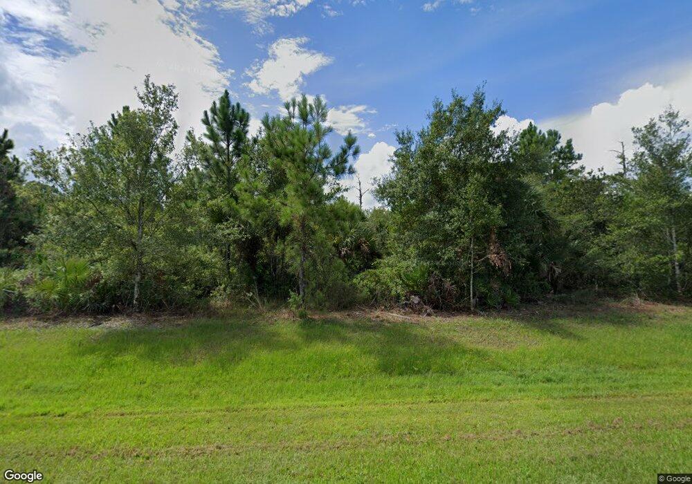
Estimated Value: $526,000 - $864,871
3
Beds
2
Baths
2,278
Sq Ft
$288/Sq Ft
Est. Value
About This Home
This home is located at 5010 Junedale Dr, Cocoa, FL 32926 and is currently estimated at $655,718, approximately $287 per square foot. 5010 Junedale Dr is a home located in Brevard County with nearby schools including Saturn Elementary School and Cocoa High School.
Ownership History
Date
Name
Owned For
Owner Type
Purchase Details
Closed on
Sep 30, 2022
Sold by
Scott John J and Scott Jill A
Bought by
John J Scott And Jill A Scott Revocable Trust
Current Estimated Value
Purchase Details
Closed on
Jun 21, 2002
Sold by
Diglio Joseph
Bought by
Scott John and Scott Jill
Home Financials for this Owner
Home Financials are based on the most recent Mortgage that was taken out on this home.
Original Mortgage
$114,222
Interest Rate
6.86%
Purchase Details
Closed on
Dec 23, 1998
Sold by
Clerk Circuit Court
Bought by
Barnett Bk N A
Create a Home Valuation Report for This Property
The Home Valuation Report is an in-depth analysis detailing your home's value as well as a comparison with similar homes in the area
Home Values in the Area
Average Home Value in this Area
Purchase History
| Date | Buyer | Sale Price | Title Company |
|---|---|---|---|
| John J Scott And Jill A Scott Revocable Trust | $100 | -- | |
| John J Scott And Jill A Scott Revocable Trust | $100 | -- | |
| Scott John | $114,600 | -- | |
| Channell Christopher Paul | $135,500 | -- | |
| Barnett Bk N A | -- | -- |
Source: Public Records
Mortgage History
| Date | Status | Borrower | Loan Amount |
|---|---|---|---|
| Previous Owner | Channell Christopher Paul | $114,222 |
Source: Public Records
Tax History
| Year | Tax Paid | Tax Assessment Tax Assessment Total Assessment is a certain percentage of the fair market value that is determined by local assessors to be the total taxable value of land and additions on the property. | Land | Improvement |
|---|---|---|---|---|
| 2025 | $5,071 | $397,480 | -- | -- |
| 2024 | $5,019 | $386,280 | -- | -- |
| 2023 | $5,019 | $375,030 | $0 | $0 |
| 2022 | $4,710 | $364,110 | $0 | $0 |
| 2021 | $4,856 | $353,510 | $0 | $0 |
| 2020 | $4,805 | $348,630 | $0 | $0 |
| 2019 | $4,774 | $340,800 | $0 | $0 |
| 2018 | $4,803 | $334,450 | $0 | $0 |
| 2017 | $4,877 | $327,580 | $0 | $0 |
| 2016 | $4,972 | $320,850 | $193,030 | $127,820 |
| 2015 | $5,060 | $318,620 | $193,030 | $125,590 |
| 2014 | $5,079 | $316,100 | $184,240 | $131,860 |
Source: Public Records
Map
Nearby Homes
- 5101 Craig Rd
- 5175 Dalehurst Dr
- 5011 Dalehurst Dr
- 4641 Talbot Blvd
- 4412 Talbot Blvd
- 2524 Trotters Trail
- 4901 Talbot Blvd
- 4900 Hidden Pine Place
- 1709 Morely Dr
- 4655 Rector Rd
- 5092 Talbot Blvd
- 365 Outer Dr
- 495 Outer Dr Unit 201
- 6331 Quarterhorse Cir
- 336 Horseshoe Bend Cir Unit 197
- 344 Outer Dr Unit 323
- 931 Unknown
- 634 Outer Dr
- TBD Rayburn Rd
- 427 Horseshoe Bend Cir Unit 151
- 5050 Junedale Dr
- 5085 Dalehurst Dr
- 1911 Hurst Ct
- 5101 Dalehurst Dr
- 0 Hidden Pine Place
- 1913 Hurst Ct
- 5067 Junedale Dr
- 1901 Hurst Ct
- 5111 Dalehurst Dr
- 5121 Dalehurst Dr
- 5096 Dalehurst Dr
- 5090 Dalehurst Dr
- 5080 Dalehurst Dr
- 1910 Hurst Ct
- 1900 Hurst Ct
- 5070 Junedale Dr
- 5100 Dalehurst Dr
- 5131 Dalehurst Dr
- 5141 Dalehurst Dr
- 1951 Juniper Dr
