Estimated Value: $251,000 - $417,000
1
Bed
1
Bath
818
Sq Ft
$401/Sq Ft
Est. Value
About This Home
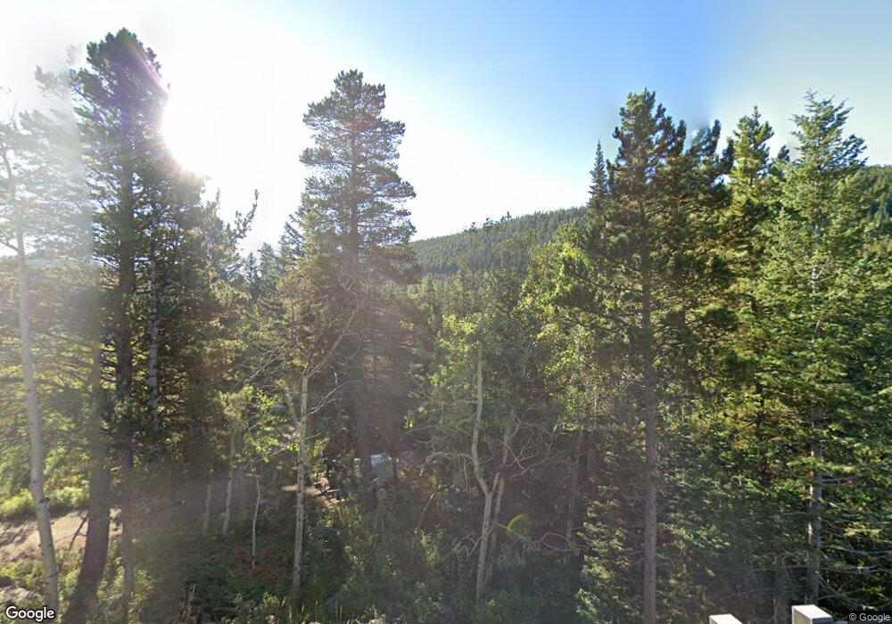
This home is located at 50108 State Highway 72, Lyons, CO 80540 and is currently estimated at $328,101, approximately $401 per square foot. 50108 State Highway 72 is a home located in Boulder County with nearby schools including Lyons Elementary School and Lyons Middle/Senior High School.
Ownership History
Date
Name
Owned For
Owner Type
Purchase Details
Closed on
Apr 8, 2009
Sold by
Kimball Carol Jean
Bought by
Wright Charlie
Current Estimated Value
Purchase Details
Closed on
Feb 20, 1991
Bought by
Wright Charles H
Purchase Details
Closed on
Aug 2, 1990
Bought by
Wright Charles H
Purchase Details
Closed on
Jul 13, 1990
Bought by
Wright Charles H
Purchase Details
Closed on
Sep 23, 1976
Bought by
Wright Charles H
Create a Home Valuation Report for This Property
The Home Valuation Report is an in-depth analysis detailing your home's value as well as a comparison with similar homes in the area
Purchase History
| Date | Buyer | Sale Price | Title Company |
|---|---|---|---|
| Wright Charlie | -- | None Available | |
| Wright Charles H | -- | -- | |
| Wright Charles H | -- | -- | |
| Wright Charles H | -- | -- | |
| Wright Charles H | -- | -- |
Source: Public Records
Tax History
| Year | Tax Paid | Tax Assessment Tax Assessment Total Assessment is a certain percentage of the fair market value that is determined by local assessors to be the total taxable value of land and additions on the property. | Land | Improvement |
|---|---|---|---|---|
| 2025 | $484 | $14,775 | $1,194 | $13,581 |
| 2024 | $484 | $14,775 | $1,194 | $13,581 |
| 2023 | $477 | $12,154 | $945 | $14,894 |
| 2022 | $634 | $13,768 | $1,105 | $12,663 |
| 2021 | $641 | $14,164 | $1,137 | $13,027 |
| 2020 | $541 | $11,998 | $3,075 | $8,923 |
| 2019 | $533 | $11,998 | $3,075 | $8,923 |
| 2018 | $508 | $11,542 | $3,456 | $8,086 |
| 2017 | $502 | $12,760 | $3,821 | $8,939 |
| 2016 | $957 | $10,794 | $4,856 | $5,938 |
| 2015 | $909 | $9,688 | $1,433 | $8,255 |
| 2014 | $838 | $9,688 | $1,433 | $8,255 |
Source: Public Records
Map
Nearby Homes
- 0 Pine Cone Cir Unit REC9444416
- 0 Pine Cone Cir Unit RECIR1037889
- 3154 Riverside Dr
- 187 Lynx Dr
- 172 Saint Vrain Trail
- 2248 Riverside Dr
- 24 Hickok Trail
- 190 Hard Way
- 189 Hard Way Rd
- 148 Hickok Trail
- 398 Overland Dr
- 254 Arrowood Dr
- 357 Big John Rd
- 212 Valley Rd
- 57 Nelson St
- 104 Utica St
- 993 Colorado 7 Business
- 18673 Colorado 7
- 18673 State Highway 7
- 223 Taylor Rd
- 83 Peaceful Valley Rd
- 25 Peaceful Valley Rd
- 50148 State Highway 72
- 50150 State Highway 72
- 103 Peaceful Valley Rd
- 50153 State Highway 72
- 50093 State Highway 72
- 50093 Peak To Peak Hwy
- 50152 State Highway 72
- 50091 State Highway 72
- 32 Peaceful Valley Rd
- 111 Peaceful Valley Rd
- 6 Peaceful Valley Rd
- 78 Peaceful Valley Rd
- 24 Peaceful Valley Rd
- 52 Peaceful Valley Rd
- 110 Peaceful Valley Rd
- 10 County Road 92
- 101 Kansas Hill Rd
- 50033 State Highway 72
Your Personal Tour Guide
Ask me questions while you tour the home.