5012 540th St SE Lone Tree, IA 52755
Estimated Value: $256,000 - $614,000
2
Beds
3
Baths
1,734
Sq Ft
$237/Sq Ft
Est. Value
About This Home
This home is located at 5012 540th St SE, Lone Tree, IA 52755 and is currently estimated at $411,254, approximately $237 per square foot. 5012 540th St SE is a home located in Johnson County with nearby schools including Lone Tree Elementary School and Lone Tree Junior/Senior High School.
Ownership History
Date
Name
Owned For
Owner Type
Purchase Details
Closed on
Jul 2, 2015
Sold by
Lenz Shirley
Bought by
Tweedy Lucas G and Widen Cortina M
Current Estimated Value
Home Financials for this Owner
Home Financials are based on the most recent Mortgage that was taken out on this home.
Original Mortgage
$159,200
Outstanding Balance
$121,064
Interest Rate
3.25%
Mortgage Type
Adjustable Rate Mortgage/ARM
Estimated Equity
$290,190
Create a Home Valuation Report for This Property
The Home Valuation Report is an in-depth analysis detailing your home's value as well as a comparison with similar homes in the area
Home Values in the Area
Average Home Value in this Area
Purchase History
| Date | Buyer | Sale Price | Title Company |
|---|---|---|---|
| Tweedy Lucas G | $199,000 | None Available |
Source: Public Records
Mortgage History
| Date | Status | Borrower | Loan Amount |
|---|---|---|---|
| Open | Tweedy Lucas G | $159,200 |
Source: Public Records
Tax History Compared to Growth
Tax History
| Year | Tax Paid | Tax Assessment Tax Assessment Total Assessment is a certain percentage of the fair market value that is determined by local assessors to be the total taxable value of land and additions on the property. | Land | Improvement |
|---|---|---|---|---|
| 2025 | $4,326 | $368,600 | $119,500 | $249,100 |
| 2024 | $4,162 | $361,900 | $119,500 | $242,400 |
| 2023 | $4,070 | $361,900 | $119,500 | $242,400 |
| 2022 | $4,016 | $303,100 | $103,100 | $200,000 |
| 2021 | $3,936 | $303,100 | $103,100 | $200,000 |
| 2020 | $3,936 | $280,900 | $103,100 | $177,800 |
| 2019 | $3,826 | $280,900 | $103,100 | $177,800 |
| 2018 | $3,754 | $269,200 | $103,100 | $166,100 |
| 2017 | $2,918 | $269,200 | $103,100 | $166,100 |
| 2016 | $2,596 | $201,700 | $103,100 | $98,600 |
| 2015 | $2,596 | $198,700 | $103,100 | $95,600 |
| 2014 | $2,398 | $181,500 | $84,900 | $96,600 |
Source: Public Records
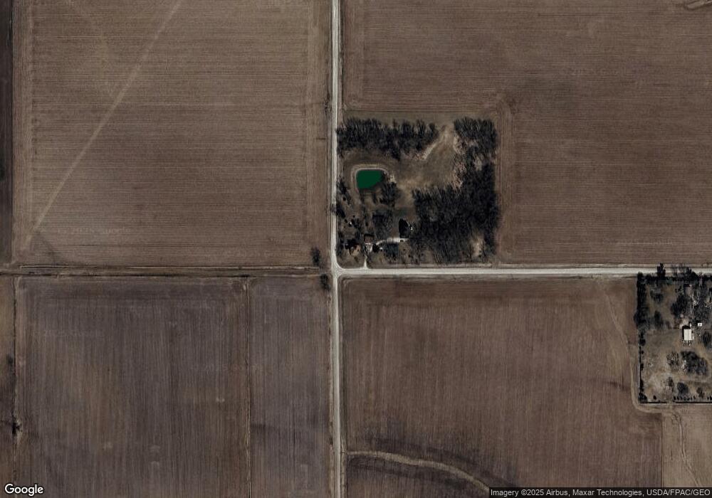
Map
Nearby Homes
- 0 520th St SE
- 745 N Perkins St
- 219 Taylor Dr
- 221 W Commercial St
- 201 N Devoe St
- 407 E Elm St
- 5888 Sand Rd SE
- 500 S Center St
- 203 W Dougherty Dr
- 106 Dorothy Ln
- 121 Brady St
- 41 Williams Cir
- 201 Sierra Park Dr
- 111 Oak Ridge Ave
- 250 Knoll Ridge Dr
- 260 Knoll Ridge Dr
- 5319 Oak Crest Hill Rd SE
- 5241 Oak Crest Hill Rd SE
- 5239 Oak Crest Hill Rd SE
- 5211 Oak Crest Hill Rd SE