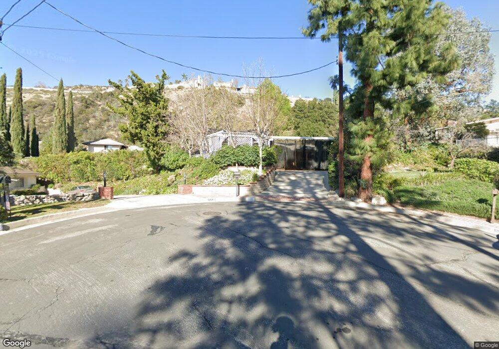
5016 Acampo Ave La Crescenta, CA 91214
Crescenta Highlands NeighborhoodEstimated Value: $1,168,181 - $1,328,000
4
Beds
2
Baths
1,362
Sq Ft
$918/Sq Ft
Est. Value
About This Home
This home is located at 5016 Acampo Ave, La Crescenta, CA 91214 and is currently estimated at $1,250,545, approximately $918 per square foot. 5016 Acampo Ave is a home located in Los Angeles County with nearby schools including Dunsmore Elementary School, Rosemont Middle School, and Crescenta Valley High School.
Ownership History
Date
Name
Owned For
Owner Type
Purchase Details
Closed on
Jul 13, 2005
Sold by
Lew Maynae
Bought by
Lew Maynae and Maynae Lew Trust
Current Estimated Value
Purchase Details
Closed on
May 17, 1996
Sold by
Edwards Richard A and Edwards Lois J
Bought by
Lew Maynae
Home Financials for this Owner
Home Financials are based on the most recent Mortgage that was taken out on this home.
Original Mortgage
$207,000
Outstanding Balance
$12,065
Interest Rate
8.25%
Estimated Equity
$1,238,480
Create a Home Valuation Report for This Property
The Home Valuation Report is an in-depth analysis detailing your home's value as well as a comparison with similar homes in the area
Home Values in the Area
Average Home Value in this Area
Purchase History
| Date | Buyer | Sale Price | Title Company |
|---|---|---|---|
| Lew Maynae | -- | -- | |
| Lew Maynae | $265,545 | Commonwealth Land Title Co |
Source: Public Records
Mortgage History
| Date | Status | Borrower | Loan Amount |
|---|---|---|---|
| Open | Lew Maynae | $207,000 |
Source: Public Records
Tax History Compared to Growth
Tax History
| Year | Tax Paid | Tax Assessment Tax Assessment Total Assessment is a certain percentage of the fair market value that is determined by local assessors to be the total taxable value of land and additions on the property. | Land | Improvement |
|---|---|---|---|---|
| 2025 | $4,887 | $441,036 | $259,807 | $181,229 |
| 2024 | $4,887 | $432,389 | $254,713 | $177,676 |
| 2023 | $4,778 | $423,912 | $249,719 | $174,193 |
| 2022 | $4,693 | $415,601 | $244,823 | $170,778 |
| 2021 | $4,609 | $407,453 | $240,023 | $167,430 |
| 2019 | $4,434 | $395,369 | $232,904 | $162,465 |
| 2018 | $4,288 | $387,618 | $228,338 | $159,280 |
| 2016 | $4,083 | $372,568 | $219,472 | $153,096 |
| 2015 | $4,000 | $366,973 | $216,176 | $150,797 |
| 2014 | $3,971 | $359,786 | $211,942 | $147,844 |
Source: Public Records
Map
Nearby Homes
- 5024 Reynard Ave
- 4922 Lowell Ave
- 3953 Santa Carlotta St
- 9920 Cabanas Ave
- 0 Sister Elsie Dr Unit HD25157922
- 0 Sister Elsie Dr Unit IV24224747
- 9836 Pali Ave
- 6369 W Sister Elsie Dr
- 5042 Carolyn Way
- 6125 Sister Elsie Dr
- 5020 Carolyn Way
- 6211 Gyral Dr
- 9691 Saluda Ave
- 3945 Franklin St
- 10023 Covert Ave
- 10025 Covert Ave
- 10157 Durkee Ave
- 4025 Vista Ct
- 0 Blanchard Canyon Unit SR24221136
- 6327 Blanchard Canyon Rd
- 5023 Reynard Ave
- 3900 Markridge Rd
- 5019 Acampo Ave
- 3850 Markridge Rd
- 5014 Acampo Ave
- 3908 Markridge Rd
- 5021 Reynard Ave
- 5017 Acampo Ave
- 3846 Markridge Rd
- 5011 Acampo Ave
- 3912 Markridge Rd
- 5026 Reynard Ave
- 3840 Markridge Rd
- 5008 Acampo Ave
- 5017 Reynard Ave
- 3916 Markridge Rd
- 5012 Verwood Ave
- 3925 Burritt Way
- 3933 Burritt Way
- 5010 Verwood Ave