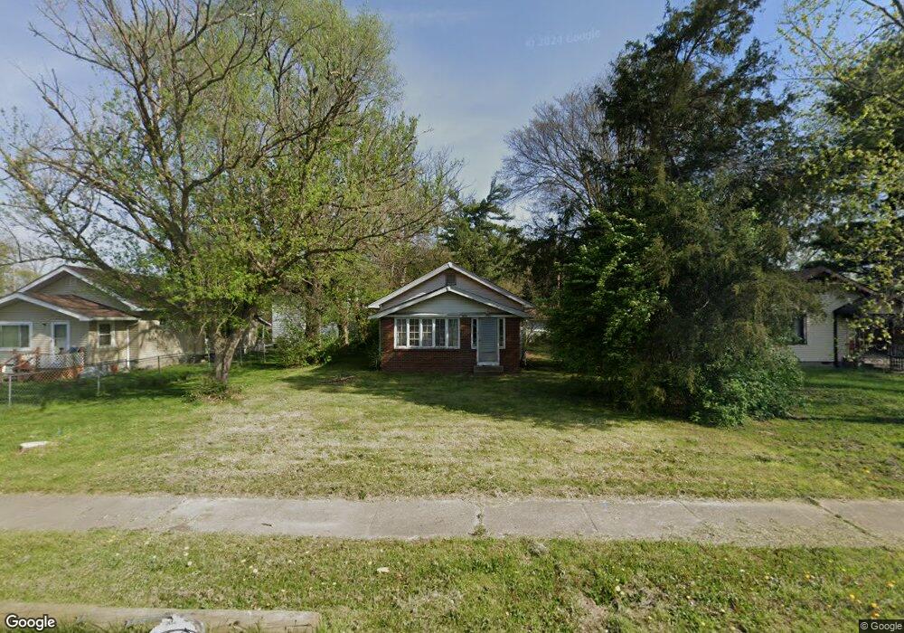
5018 E Raymond St Indianapolis, IN 46203
Near Southeast NeighborhoodEstimated Value: $122,000 - $163,111
2
Beds
1
Bath
1,920
Sq Ft
$73/Sq Ft
Est. Value
About This Home
This home is located at 5018 E Raymond St, Indianapolis, IN 46203 and is currently estimated at $139,278, approximately $72 per square foot. 5018 E Raymond St is a home located in Marion County with nearby schools including Paul I. Miller School No. 114, Eleanor Skillen School No. 34, and Ralph Waldo Emerson School 58.
Ownership History
Date
Name
Owned For
Owner Type
Purchase Details
Closed on
Jul 17, 2007
Sold by
Fender Larry D
Bought by
Ryan Matthew Michael
Current Estimated Value
Home Financials for this Owner
Home Financials are based on the most recent Mortgage that was taken out on this home.
Original Mortgage
$43,000
Outstanding Balance
$27,198
Interest Rate
6.73%
Mortgage Type
New Conventional
Estimated Equity
$112,080
Purchase Details
Closed on
Mar 6, 2005
Sold by
Fender Marguerite C
Bought by
Fender Larry D
Create a Home Valuation Report for This Property
The Home Valuation Report is an in-depth analysis detailing your home's value as well as a comparison with similar homes in the area
Home Values in the Area
Average Home Value in this Area
Purchase History
| Date | Buyer | Sale Price | Title Company |
|---|---|---|---|
| Ryan Matthew Michael | -- | None Available | |
| Fender Larry D | -- | None Available |
Source: Public Records
Mortgage History
| Date | Status | Borrower | Loan Amount |
|---|---|---|---|
| Open | Ryan Matthew Michael | $43,000 |
Source: Public Records
Tax History Compared to Growth
Tax History
| Year | Tax Paid | Tax Assessment Tax Assessment Total Assessment is a certain percentage of the fair market value that is determined by local assessors to be the total taxable value of land and additions on the property. | Land | Improvement |
|---|---|---|---|---|
| 2024 | $2,103 | $88,600 | $10,100 | $78,500 |
| 2023 | $2,103 | $84,100 | $10,100 | $74,000 |
| 2022 | $2,292 | $92,600 | $10,100 | $82,500 |
| 2021 | $1,800 | $73,500 | $10,100 | $63,400 |
| 2020 | $1,602 | $64,800 | $10,100 | $54,700 |
| 2019 | $1,488 | $58,800 | $6,200 | $52,600 |
| 2018 | $1,566 | $61,600 | $6,200 | $55,400 |
| 2017 | $1,344 | $58,800 | $6,200 | $52,600 |
| 2016 | $1,324 | $59,300 | $6,200 | $53,100 |
| 2014 | $1,331 | $61,400 | $6,200 | $55,200 |
| 2013 | $1,280 | $61,400 | $6,200 | $55,200 |
Source: Public Records
Map
Nearby Homes
- 4919 E Naomi St
- 4910 Iowa St
- 5300 Southeastern Ave
- 5231 Cheryl Ln
- 1701 S Drexel Ave
- 2080 Lick Creek Dr
- 2060 Lick Creek Dr
- 4108 E Naomi St
- 1510 Faust Ave
- 1115 Bethel Ave
- 1428 S Euclid Ave
- 239 N 6th Ave
- 1137 S Drexel Ave
- 1114 Worcester Ave
- 1105 Worcester Ave
- 145 N 3rd Ave
- 2445 S Bolton Ave
- 2447 S Bolton Ave
- 149 N 6th Ave
- 144 N 5th Ave
- 5020 E Raymond St
- 5008 E Raymond St
- 5024 E Raymond St
- 5002 E Raymond St
- 5028 E Raymond St
- 4929 Hyperion Ct
- 2127 S Riley Ave
- 5030 E Raymond St
- 4922 Hyperion Ct
- 4851 Christopher Ct
- 4919 Hyperion Ct
- 2125 S Riley Ave
- 4843 Christopher Ct
- 2160 S Emerson Ave
- 2156 S Emerson Ave
- 2126 Hyperion Way
- 4849 Christopher Ct
- 2118 S Emerson Ave
- 4909 Hyperion Ct
- 4839 Christopher Ct