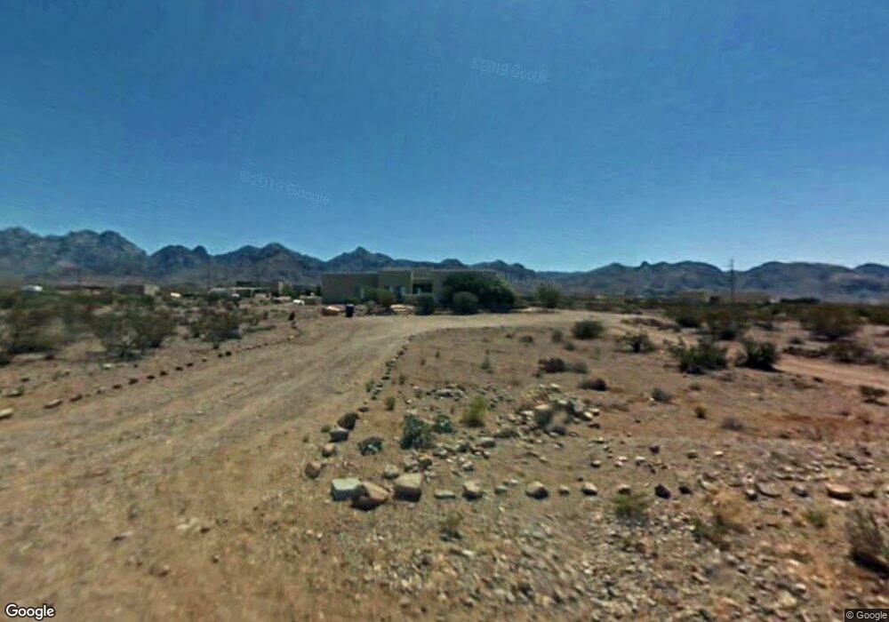
5019 Apex Mine Rd Las Cruces, NM 88011
Estimated Value: $544,350 - $577,000
3
Beds
2
Baths
2,216
Sq Ft
$253/Sq Ft
Est. Value
About This Home
This home is located at 5019 Apex Mine Rd, Las Cruces, NM 88011 and is currently estimated at $560,675, approximately $253 per square foot. 5019 Apex Mine Rd is a home located in Dona Ana County with nearby schools including Hillrise Elementary School, Lynn Middle School, and Centennial High School.
Ownership History
Date
Name
Owned For
Owner Type
Purchase Details
Closed on
Aug 18, 1999
Sold by
Minarcin Rhonda J
Bought by
Mentor Kenneth W and Mentor Luara
Current Estimated Value
Home Financials for this Owner
Home Financials are based on the most recent Mortgage that was taken out on this home.
Original Mortgage
$28,575
Interest Rate
10%
Mortgage Type
Seller Take Back
Purchase Details
Closed on
Aug 1, 1999
Sold by
Minarcin Rhonda J
Bought by
Mentor Kenneth W and Mentor Laura
Home Financials for this Owner
Home Financials are based on the most recent Mortgage that was taken out on this home.
Original Mortgage
$28,575
Interest Rate
10%
Mortgage Type
Seller Take Back
Create a Home Valuation Report for This Property
The Home Valuation Report is an in-depth analysis detailing your home's value as well as a comparison with similar homes in the area
Home Values in the Area
Average Home Value in this Area
Purchase History
| Date | Buyer | Sale Price | Title Company |
|---|---|---|---|
| Mentor Kenneth W | $31,750 | Las Cruces Abstract Title Co | |
| Mentor Kenneth W | -- | Southwestern Abstract & Titl |
Source: Public Records
Mortgage History
| Date | Status | Borrower | Loan Amount |
|---|---|---|---|
| Previous Owner | Mentor Kenneth W | $28,575 | |
| Previous Owner | Mentor Kenneth W | $191,200 |
Source: Public Records
Tax History Compared to Growth
Tax History
| Year | Tax Paid | Tax Assessment Tax Assessment Total Assessment is a certain percentage of the fair market value that is determined by local assessors to be the total taxable value of land and additions on the property. | Land | Improvement |
|---|---|---|---|---|
| 2024 | $2,962 | $127,922 | $28,018 | $99,904 |
| 2023 | $2,908 | $124,197 | $27,974 | $96,223 |
| 2022 | $2,877 | $120,580 | $27,945 | $92,635 |
| 2021 | $2,553 | $107,490 | $27,829 | $79,661 |
| 2020 | $2,568 | $107,490 | $27,829 | $79,661 |
| 2019 | $2,496 | $104,359 | $25,625 | $78,734 |
| 2018 | $2,482 | $104,359 | $25,625 | $78,734 |
| 2017 | $2,312 | $99,395 | $15,253 | $84,142 |
| 2016 | $2,283 | $96,500 | $13,867 | $82,633 |
| 2015 | $2,219 | $281,100 | $40,400 | $240,700 |
| 2014 | $2,218 | $281,100 | $40,400 | $240,700 |
Source: Public Records
Map
Nearby Homes
- 5012 Heno Mine Rd
- 5002 Heno Mine Rd
- 5064 Silver King Rd
- 6605 Lazo Del Norte
- 5000 Mother Lode Trail
- 5052 Cueva Mine Rd
- 5113 Silver King Rd
- 4990 Cripple Creek Rd
- 5115 La Cueva Mine Trail
- 5118 Silver King Rd
- 5048 Alamo Mine Trail
- 3920 Vista Estrella Ct
- 9902 Alberta Way
- 3934 Loma Bella Dr
- 9770 Desert Mirage
- 5051 Alamo Mine Trail
- 4972 Black Quartz Rd
- 5075 Chaparrita Ct
- 4905 Desert Walk Ct
- 8200 Dripping Springs Rd
- 5021 Apex Mine Rd
- 5018 Apex Mine Rd
- 5032 Rock House Rd
- 5016 Rock House Rd
- 5024 Apex Mine Rd
- 5012 Apex Mine Rd
- 5025 Rock House Rd
- 5007 Apex Mine Rd
- 5021 Lost Padre Mine Rd
- 5006 Apex Mine Rd
- 5011 Lost Padre Mine Rd
- 5035 Apex Mine Rd
- 0000 Apex Mine Rd
- 5017 Rock House Rd
- 5008 Rock House Rd
- 0 Rock House Rd
- 0000 Minniec Rd
- 5009 Rock House Rd
- 5045 Rock House Rd
- 5022 Heno Mine Rd