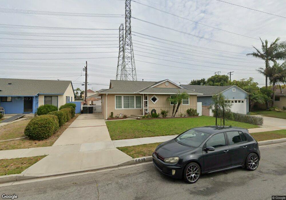
5019 Arvada St Torrance, CA 90503
West Torrance NeighborhoodEstimated Value: $1,330,885 - $1,468,000
2
Beds
2
Baths
1,664
Sq Ft
$837/Sq Ft
Est. Value
About This Home
This home is located at 5019 Arvada St, Torrance, CA 90503 and is currently estimated at $1,392,221, approximately $836 per square foot. 5019 Arvada St is a home located in Los Angeles County with nearby schools including Towers Elementary School, Bert M. Lynn Middle School, and West High School.
Ownership History
Date
Name
Owned For
Owner Type
Purchase Details
Closed on
Apr 6, 2023
Sold by
Crowell Family Living Trust
Bought by
Edward A Crowell Trust
Current Estimated Value
Purchase Details
Closed on
Sep 23, 2020
Sold by
Crowell Edward Arlon and Crowell Carol
Bought by
Crowell Edward A and Crowell Carol R
Purchase Details
Closed on
Dec 26, 1996
Sold by
Crowell Edward A
Bought by
Crowell Edward Arlon and Crowell Carol
Home Financials for this Owner
Home Financials are based on the most recent Mortgage that was taken out on this home.
Original Mortgage
$112,000
Interest Rate
7.59%
Create a Home Valuation Report for This Property
The Home Valuation Report is an in-depth analysis detailing your home's value as well as a comparison with similar homes in the area
Home Values in the Area
Average Home Value in this Area
Purchase History
| Date | Buyer | Sale Price | Title Company |
|---|---|---|---|
| Edward A Crowell Trust | -- | None Listed On Document | |
| Crowell Edward A | -- | None Available | |
| Crowell Edward Arlon | -- | American Coast Title |
Source: Public Records
Mortgage History
| Date | Status | Borrower | Loan Amount |
|---|---|---|---|
| Previous Owner | Crowell Edward Arlon | $112,000 |
Source: Public Records
Tax History Compared to Growth
Tax History
| Year | Tax Paid | Tax Assessment Tax Assessment Total Assessment is a certain percentage of the fair market value that is determined by local assessors to be the total taxable value of land and additions on the property. | Land | Improvement |
|---|---|---|---|---|
| 2025 | $2,355 | $182,435 | $70,575 | $111,860 |
| 2024 | $2,355 | $178,859 | $69,192 | $109,667 |
| 2023 | $2,316 | $175,353 | $67,836 | $107,517 |
| 2022 | $2,284 | $171,915 | $66,506 | $105,409 |
| 2021 | $2,233 | $168,545 | $65,202 | $103,343 |
| 2020 | $2,201 | $166,818 | $64,534 | $102,284 |
| 2019 | $2,170 | $163,548 | $63,269 | $100,279 |
| 2018 | $2,038 | $160,342 | $62,029 | $98,313 |
| 2016 | $1,930 | $154,118 | $59,621 | $94,497 |
| 2015 | $1,888 | $151,804 | $58,726 | $93,078 |
| 2014 | $1,849 | $148,831 | $57,576 | $91,255 |
Source: Public Records
Map
Nearby Homes
- 19219 Beckworth Ave
- 2345 W 190th St Unit 77
- 2345 190th St Unit 42
- 2345 190th St Unit 24
- 19509 Hinsdale Ave
- 2600 Alvord Ln
- 2606 Ralston Ln
- 907 Lilienthal Ln
- 4819 Halison St
- 2804 Spreckels Ln
- 2420 Ives Ln Unit B
- 2420 Ives Ln Unit A
- 2708 184th St
- 5305 Wilma St
- 19910 Bernist Ave
- 20017 Bernist Ave
- 2708 183rd St
- 2126 Havemeyer Ln
- 2905 Spreckels Ct
- 4549 186th St