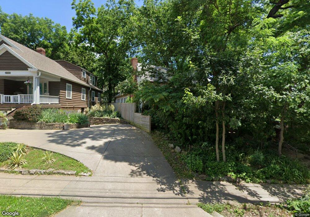
5019 State Line Rd Kansas City, MO 64112
West Plaza NeighborhoodEstimated Value: $334,000 - $492,000
3
Beds
1
Bath
1,800
Sq Ft
$229/Sq Ft
Est. Value
About This Home
This home is located at 5019 State Line Rd, Kansas City, MO 64112 and is currently estimated at $411,894, approximately $228 per square foot. 5019 State Line Rd is a home located in Jackson County with nearby schools including Central Middle School, Central High School, and The Pembroke Hill School.
Ownership History
Date
Name
Owned For
Owner Type
Purchase Details
Closed on
May 3, 2004
Sold by
Kelso Todd N
Bought by
Schubert Theo
Current Estimated Value
Purchase Details
Closed on
Sep 21, 1998
Sold by
Kelso Todd Matthews
Bought by
Kelso Todd Nolan
Purchase Details
Closed on
Sep 8, 1998
Sold by
Kelso Margaret Ruth
Bought by
Kelso Todd Matthews
Purchase Details
Closed on
Sep 12, 1995
Sold by
Macnair Dorothy Lois
Bought by
Kelso Todd Matthews and Kelso Margaret Ruth
Purchase Details
Closed on
Sep 8, 1995
Sold by
Lakin Jane Elizabeth and Lakin William D
Bought by
Kelso Todd Matthews and Kelso Margaret Ruth
Create a Home Valuation Report for This Property
The Home Valuation Report is an in-depth analysis detailing your home's value as well as a comparison with similar homes in the area
Home Values in the Area
Average Home Value in this Area
Purchase History
| Date | Buyer | Sale Price | Title Company |
|---|---|---|---|
| Schubert Theo | -- | -- | |
| Kelso Todd Nolan | -- | -- | |
| Kelso Todd Matthews | -- | -- | |
| Kelso Todd Matthews | -- | -- | |
| Kelso Todd Matthews | -- | -- |
Source: Public Records
Tax History Compared to Growth
Tax History
| Year | Tax Paid | Tax Assessment Tax Assessment Total Assessment is a certain percentage of the fair market value that is determined by local assessors to be the total taxable value of land and additions on the property. | Land | Improvement |
|---|---|---|---|---|
| 2025 | $4,199 | $61,059 | $21,442 | $39,617 |
| 2024 | $4,159 | $53,200 | $22,369 | $30,831 |
| 2023 | $4,159 | $53,200 | $22,369 | $30,831 |
| 2022 | $3,798 | $46,170 | $12,322 | $33,848 |
| 2021 | $3,785 | $46,170 | $12,322 | $33,848 |
| 2020 | $3,830 | $46,131 | $12,322 | $33,809 |
| 2019 | $3,750 | $46,131 | $12,322 | $33,809 |
| 2018 | $3,143 | $39,482 | $9,241 | $30,241 |
| 2017 | $3,143 | $39,482 | $9,241 | $30,241 |
| 2016 | $2,845 | $35,543 | $10,233 | $25,310 |
| 2014 | $2,798 | $34,846 | $10,032 | $24,814 |
Source: Public Records
Map
Nearby Homes
- 4935 Wyoming St
- 2007 W 49th Terrace
- 1407 W 50th St
- 4910 State Line Rd
- 4912 Wyoming St
- 4901 Bell St
- 1220 W 51 St
- 2211 W 51st St
- 4948 Westwood Rd
- 1902 W 48th St
- 4816 Terrace St
- 4731 Fairmount Ave
- 4734 Liberty St
- 4812 Mercier St
- 1120 & 1124 Ward Pkwy
- 2207 W 47th Terrace
- 4701 Wyoming St
- 4975 Ward Pkwy
- 4701 Fairmount Ave
- 2524 W 51st Terrace
- 1638 W 51st St
- 5015 State Line Rd
- 1634 W 51st St
- 1630 W 51st St
- 5001 State Line Rd
- 1629 W 50th St
- 1625 W 50th St
- 1626 W 51st St
- 1626 W 51 St
- 1621 W 50th St
- 1620 W 51st St
- 1628 W 50th St
- 1615 W 50th St
- 1624 W 50th St
- 1616 W 51st St
- 5020 Wyoming St
- 4965 State Line Rd
- 5008 Wyoming St
- 1914 W 50th Terrace
- 5016 Wyoming St