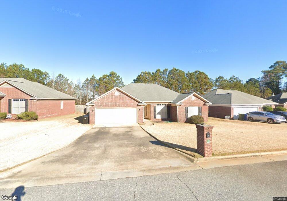
5019 Streator Dr Columbus, GA 31907
Eastern Columbus NeighborhoodEstimated Value: $234,126 - $279,000
4
Beds
3
Baths
1,893
Sq Ft
$134/Sq Ft
Est. Value
About This Home
This home is located at 5019 Streator Dr, Columbus, GA 31907 and is currently estimated at $252,782, approximately $133 per square foot. 5019 Streator Dr is a home located in Muscogee County with nearby schools including St. Mary's Road Magnet Academy, Rothschild Leadership Academy, and Spencer High School.
Ownership History
Date
Name
Owned For
Owner Type
Purchase Details
Closed on
Sep 20, 2016
Sold by
Osborne Michael T and Osborne Jennifer E
Bought by
Pinero Ariel K and Pinero Tia M
Current Estimated Value
Home Financials for this Owner
Home Financials are based on the most recent Mortgage that was taken out on this home.
Original Mortgage
$153,000
Outstanding Balance
$122,211
Interest Rate
3.43%
Estimated Equity
$130,571
Create a Home Valuation Report for This Property
The Home Valuation Report is an in-depth analysis detailing your home's value as well as a comparison with similar homes in the area
Home Values in the Area
Average Home Value in this Area
Purchase History
| Date | Buyer | Sale Price | Title Company |
|---|---|---|---|
| Pinero Ariel K | $153,000 | -- |
Source: Public Records
Mortgage History
| Date | Status | Borrower | Loan Amount |
|---|---|---|---|
| Open | Pinero Ariel K | $153,000 |
Source: Public Records
Tax History Compared to Growth
Tax History
| Year | Tax Paid | Tax Assessment Tax Assessment Total Assessment is a certain percentage of the fair market value that is determined by local assessors to be the total taxable value of land and additions on the property. | Land | Improvement |
|---|---|---|---|---|
| 2025 | $3,231 | $82,548 | $9,288 | $73,260 |
| 2024 | $3,231 | $82,548 | $9,288 | $73,260 |
| 2023 | $3,252 | $82,548 | $9,288 | $73,260 |
| 2022 | $2,254 | $55,212 | $9,288 | $45,924 |
| 2021 | $2,179 | $53,364 | $9,288 | $44,076 |
| 2020 | $2,179 | $53,364 | $9,288 | $44,076 |
| 2019 | $2,186 | $53,364 | $9,288 | $44,076 |
| 2018 | $2,186 | $53,364 | $9,288 | $44,076 |
| 2017 | $2,193 | $53,364 | $9,288 | $44,076 |
| 2016 | $2,936 | $71,171 | $13,800 | $57,371 |
| 2015 | $2,939 | $71,171 | $13,800 | $57,371 |
| 2014 | $2,943 | $71,171 | $13,800 | $57,371 |
| 2013 | -- | $71,171 | $13,800 | $57,371 |
Source: Public Records
Map
Nearby Homes
- 811 Pheasant Loop
- 4718 Velpoe Dr
- 4422 Debolt Ct
- 4408 Ridgefield Dr
- 4201 Valley Crest Dr
- 1025 Belmar St
- 4939 Aaron Dr
- 4917 Brightstar Ln
- 1225 Rowell St
- 4965 Brightstar Ln
- 59 Apollo Dr
- 849 Bunker Hill Rd
- 4581 Dawn Ct
- 4930 Capricorn Ct
- 4437 St Marys Rd
- 4516 Sims St
- 5219 Argonne Dr
- 4422 Pate Dr
- 780 Honey Do Ct
- 1425 Staunton Dr
- 5015 Streator Dr
- 5023 Streator Dr
- 5011 Streator Dr
- 4716 Lakefront Ct
- 0 Streator Dr Unit 7526201
- 5027 Streator Dr
- 5014 Streator Dr
- 4708 Lakefront Ct
- 5007 Streator Dr
- 5010 Streator Dr
- 5022 Streator Dr
- 5018 Streator Dr
- 4718 Lakefront Ct
- 595 Lakefront Dr
- 5035 Streator Dr
- 5006 Streator Dr
- 5026 Streator Dr
- 599 Lakefront Dr
- 5030 Streator Dr
- 5001 Streator Dr