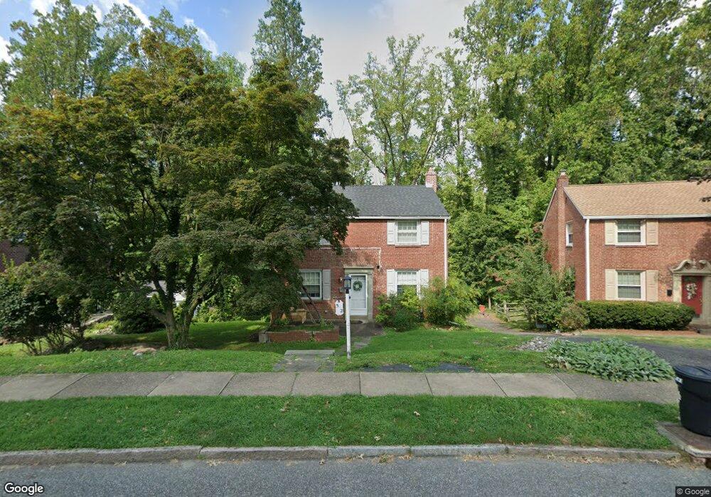
502 Briarhill Rd Springfield, PA 19064
Estimated Value: $371,000 - $456,000
3
Beds
2
Baths
1,418
Sq Ft
$298/Sq Ft
Est. Value
About This Home
This home is located at 502 Briarhill Rd, Springfield, PA 19064 and is currently estimated at $422,716, approximately $298 per square foot. 502 Briarhill Rd is a home located in Delaware County with nearby schools including Springfield High School, St Francis Of Assisi School, and Holy Cross School.
Ownership History
Date
Name
Owned For
Owner Type
Purchase Details
Closed on
Nov 27, 1995
Sold by
Palmer David and Palmer Ingrid
Bought by
Mcdermott Kevin John and Mcdermott Lillian Marie
Current Estimated Value
Home Financials for this Owner
Home Financials are based on the most recent Mortgage that was taken out on this home.
Original Mortgage
$50,000
Outstanding Balance
$1,030
Interest Rate
7.44%
Estimated Equity
$421,686
Create a Home Valuation Report for This Property
The Home Valuation Report is an in-depth analysis detailing your home's value as well as a comparison with similar homes in the area
Home Values in the Area
Average Home Value in this Area
Purchase History
| Date | Buyer | Sale Price | Title Company |
|---|---|---|---|
| Mcdermott Kevin John | $148,000 | T A Title Insurance Company |
Source: Public Records
Mortgage History
| Date | Status | Borrower | Loan Amount |
|---|---|---|---|
| Open | Mcdermott Kevin John | $50,000 |
Source: Public Records
Tax History Compared to Growth
Tax History
| Year | Tax Paid | Tax Assessment Tax Assessment Total Assessment is a certain percentage of the fair market value that is determined by local assessors to be the total taxable value of land and additions on the property. | Land | Improvement |
|---|---|---|---|---|
| 2025 | $7,698 | $273,880 | $102,250 | $171,630 |
| 2024 | $7,698 | $273,880 | $102,250 | $171,630 |
| 2023 | $7,412 | $273,880 | $102,250 | $171,630 |
| 2022 | $7,252 | $273,880 | $102,250 | $171,630 |
| 2021 | $11,231 | $273,880 | $102,250 | $171,630 |
| 2020 | $6,159 | $135,910 | $49,160 | $86,750 |
| 2019 | $6,014 | $135,910 | $49,160 | $86,750 |
| 2018 | $5,928 | $135,910 | $0 | $0 |
| 2017 | $5,791 | $135,910 | $0 | $0 |
| 2016 | $761 | $135,910 | $0 | $0 |
| 2015 | $761 | $135,910 | $0 | $0 |
| 2014 | $761 | $135,910 | $0 | $0 |
Source: Public Records
Map
Nearby Homes
- 364 S Rolling Rd
- 1366 Nicklaus Dr Unit O125
- 1435 Country Club Dr Unit T215
- 326 Powell Rd
- 251 Powell Rd
- 268 Beechwood Rd
- 240 Beechwood Rd
- 224 Ballymore Rd
- 332 Franklin Ave
- 651 N Chester Rd
- 444 Kerr Ln
- 232 S Highland Rd
- 517 W Woodland Ave
- 304 Providence Rd
- 1008 Lincoln Ave
- 945 Springhaven Rd
- 519 Walnut Ln Unit 1
- 214 Lynbrooke Rd
- 614 Saxer Ave
- 38 S Britton Rd
- 498 Briarhill Rd
- 506 Briarhill Rd
- 494 Briarhill Rd
- 508 Briarhill Rd
- 503 Briarhill Rd
- 492 Briarhill Rd
- 512 Briarhill Rd
- 17 E Thomson Ave
- 491 Briarhill Rd
- 514 Wheatsheaf Rd
- 488 Briarhill Rd
- 33 E Thomson Ave
- 513 Wheatsheaf Rd
- 485 Briarhill Rd
- 484 Briarhill Rd
- 498 Wheatsheaf Rd
- 492 Wheatsheaf Rd
- 509 Wheatsheaf Rd
- 480 Briarhill Rd
- 481 Briarhill Rd