502 Foxboro Dr Norwalk, CT 06851
Cranbury NeighborhoodEstimated Value: $488,000 - $579,000
1
Bed
2
Baths
1,192
Sq Ft
$450/Sq Ft
Est. Value
About This Home
This home is located at 502 Foxboro Dr, Norwalk, CT 06851 and is currently estimated at $536,390, approximately $449 per square foot. 502 Foxboro Dr is a home located in Fairfield County with nearby schools including Cranbury Elementary School, West Rocks Middle School, and Norwalk High School.
Ownership History
Date
Name
Owned For
Owner Type
Purchase Details
Closed on
Aug 26, 2003
Sold by
Hanover Daniel C and Hanover Kristin A
Bought by
Mosa Mary Ann
Current Estimated Value
Home Financials for this Owner
Home Financials are based on the most recent Mortgage that was taken out on this home.
Original Mortgage
$263,920
Outstanding Balance
$116,340
Interest Rate
5.52%
Estimated Equity
$420,050
Purchase Details
Closed on
Dec 15, 1999
Sold by
Vanbramer Renee
Bought by
Ramsey Dana
Purchase Details
Closed on
Oct 19, 1992
Sold by
Callahan Richard J
Bought by
Vanbramer Renee
Purchase Details
Closed on
Aug 15, 1991
Sold by
Baker Firestone Lp
Bought by
Callahan Richard
Create a Home Valuation Report for This Property
The Home Valuation Report is an in-depth analysis detailing your home's value as well as a comparison with similar homes in the area
Home Values in the Area
Average Home Value in this Area
Purchase History
| Date | Buyer | Sale Price | Title Company |
|---|---|---|---|
| Mosa Mary Ann | $329,900 | -- | |
| Mosa Mary Ann | $329,900 | -- | |
| Ramsey Dana | $224,900 | -- | |
| Ramsey Dana | $224,900 | -- | |
| Vanbramer Renee | $160,000 | -- | |
| Vanbramer Renee | $160,000 | -- | |
| Callahan Richard | $142,835 | -- |
Source: Public Records
Mortgage History
| Date | Status | Borrower | Loan Amount |
|---|---|---|---|
| Open | Callahan Richard | $263,920 | |
| Closed | Callahan Richard | $263,920 |
Source: Public Records
Tax History Compared to Growth
Tax History
| Year | Tax Paid | Tax Assessment Tax Assessment Total Assessment is a certain percentage of the fair market value that is determined by local assessors to be the total taxable value of land and additions on the property. | Land | Improvement |
|---|---|---|---|---|
| 2025 | $7,567 | $318,730 | $0 | $318,730 |
| 2024 | $7,450 | $318,730 | $0 | $318,730 |
| 2023 | $6,575 | $263,360 | $0 | $263,360 |
| 2022 | $6,472 | $263,360 | $0 | $263,360 |
| 2021 | $5,507 | $263,360 | $0 | $263,360 |
| 2020 | $6,217 | $263,360 | $0 | $263,360 |
| 2019 | $6,138 | $263,360 | $0 | $263,360 |
| 2018 | $6,273 | $241,930 | $0 | $241,930 |
| 2017 | $6,054 | $241,930 | $0 | $241,930 |
| 2016 | $6,155 | $241,930 | $0 | $241,930 |
| 2015 | $5,528 | $241,930 | $0 | $241,930 |
| 2014 | $6,058 | $241,930 | $0 | $241,930 |
Source: Public Records
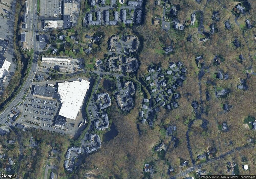
Map
Nearby Homes
- 510 Foxboro Dr
- 123 Old Belden Hill Rd Unit 40
- 515 Belden Hill Rd
- 28 Village Ct
- 442 Main Ave Unit A5
- 29 Grumman Ave
- 57 Creeping Hemlock Dr
- 36 Donohue Dr
- 180 E Rocks Rd
- 41 Mohawk Dr
- 8 Caddy Rd
- 27 Stonecrop Rd
- 32 Thistle Rd
- 8 Stonecrop Rd
- 332 Belden Hill Rd
- 4 Frank St
- 18 Singing Woods Rd
- 9 Singing Woods Rd
- 71 Aiken St Unit P12
- 256 Mill Rd
- 518 Foxboro Dr
- 517 Foxboro Dr
- 516 Foxboro Dr
- 515 Foxboro Dr
- 514 Foxboro Dr
- 513 Foxboro Dr
- 512 Foxboro Dr
- 511 Foxboro Dr
- 509 Foxboro Dr
- 508 Foxboro Dr
- 506 Foxboro Dr
- 505 Foxboro Dr
- 504 Foxboro Dr
- 503 Foxboro Dr
- 501 Foxboro Dr
- 515 Foxboro Dr Unit 515
- 513 Foxboro Dr Unit 513
- 511 Foxboro Dr Unit 511
- 504 Foxboro Dr Unit 504
- 505 Foxboro Dr Unit 505