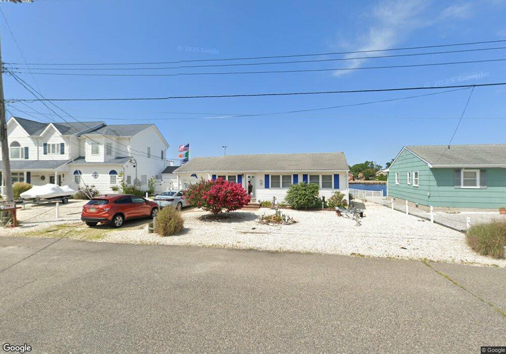
502 Middle Branch Dr Forked River, NJ 08731
Lacey Township NeighborhoodEstimated Value: $486,820 - $665,000
3
Beds
1
Bath
1,085
Sq Ft
$497/Sq Ft
Est. Value
About This Home
This home is located at 502 Middle Branch Dr, Forked River, NJ 08731 and is currently estimated at $539,455, approximately $497 per square foot. 502 Middle Branch Dr is a home located in Ocean County with nearby schools including Lacey Township High School.
Ownership History
Date
Name
Owned For
Owner Type
Purchase Details
Closed on
Aug 15, 2014
Sold by
Aiello Salvatore and Aiello Rosalia
Bought by
Aiello Living Trust and Aiello Rosalia
Current Estimated Value
Purchase Details
Closed on
Nov 24, 2004
Sold by
Datello Anthony and Datello Angela
Bought by
Aiello Salvatore and Aiello Rosalia
Home Financials for this Owner
Home Financials are based on the most recent Mortgage that was taken out on this home.
Original Mortgage
$200,000
Interest Rate
5.68%
Mortgage Type
Fannie Mae Freddie Mac
Purchase Details
Closed on
Dec 2, 2002
Sold by
Osorno Josephine
Bought by
Datello Anthony and Datello Angela
Home Financials for this Owner
Home Financials are based on the most recent Mortgage that was taken out on this home.
Original Mortgage
$239,920
Interest Rate
6.34%
Create a Home Valuation Report for This Property
The Home Valuation Report is an in-depth analysis detailing your home's value as well as a comparison with similar homes in the area
Home Values in the Area
Average Home Value in this Area
Purchase History
| Date | Buyer | Sale Price | Title Company |
|---|---|---|---|
| Aiello Living Trust | -- | Fidelity Natl Title Ins Co | |
| Aiello Salvatore | $320,000 | Fidelity National Title Insu | |
| Datello Anthony | $299,900 | -- |
Source: Public Records
Mortgage History
| Date | Status | Borrower | Loan Amount |
|---|---|---|---|
| Previous Owner | Aiello Salvatore | $200,000 | |
| Previous Owner | Datello Anthony | $239,920 |
Source: Public Records
Tax History Compared to Growth
Tax History
| Year | Tax Paid | Tax Assessment Tax Assessment Total Assessment is a certain percentage of the fair market value that is determined by local assessors to be the total taxable value of land and additions on the property. | Land | Improvement |
|---|---|---|---|---|
| 2025 | $6,573 | $259,400 | $167,700 | $91,700 |
| 2024 | $6,145 | $259,400 | $167,700 | $91,700 |
| 2023 | $5,870 | $259,400 | $167,700 | $91,700 |
| 2022 | $5,870 | $259,400 | $167,700 | $91,700 |
| 2021 | $5,772 | $259,400 | $167,700 | $91,700 |
| 2020 | $5,587 | $259,400 | $167,700 | $91,700 |
| 2019 | $5,489 | $259,400 | $167,700 | $91,700 |
| 2018 | $5,424 | $259,400 | $167,700 | $91,700 |
| 2017 | $5,300 | $259,400 | $167,700 | $91,700 |
| 2016 | $5,279 | $259,400 | $167,700 | $91,700 |
| 2015 | $5,043 | $259,400 | $167,700 | $91,700 |
| 2014 | $6,914 | $402,000 | $307,700 | $94,300 |
Source: Public Records
Map
Nearby Homes
- 419 Beach Blvd
- 10 Dolphin Ct
- 404 Beach Blvd
- 604 Beach Blvd
- 501 N Shore Dr
- 613 Twin River Dr
- 69 Saltspray Dr
- 79 Saltspray Dr
- 78 Saltspray Dr
- 302 Reef Ct
- 455 Newport Rd
- 34 Mariner Dr
- 25 Hollywood Blvd S
- 124 Oakwood Place
- 217 Nantucket Rd
- Lot1 Clearwater Dr
- 213 Beach Blvd
- 635 Oakwood Dr
- 9 Hollywood Blvd S
- 0 Clearwater Dr Unit NJOC2035594
- 506 Middle Branch Dr
- 428 Middle Branch Dr
- 508 Middle Branch Dr
- 427 Middle Branch Dr
- 501 Middle Branch Dr
- 716 Palm Beach Dr
- 510 Middle Branch Dr
- 426 Middle Branch Dr
- 0 Middle Branch Dr Unit NJOC217938
- 504 Beach Blvd
- 420 Middle Branch Dr
- 502 Beach Blvd
- 425 Middle Branch Dr
- 512 Middle Branch Dr
- 420 Beach Blvd
- 503 Middle Branch Dr
- 421 Middle Branch Dr
- 418 Beach Blvd
- 424 Middle Branch Dr
- 509 Middle Branch Dr