502 S 1040 E American Fork, UT 84003
Estimated Value: $261,000 - $276,500
2
Beds
1
Bath
1,102
Sq Ft
$242/Sq Ft
Est. Value
About This Home
This home is located at 502 S 1040 E, American Fork, UT 84003 and is currently estimated at $266,833, approximately $242 per square foot. 502 S 1040 E is a home located in Utah County with nearby schools including Barratt Elementary School, American Fork Junior High School, and American Fork High School.
Ownership History
Date
Name
Owned For
Owner Type
Purchase Details
Closed on
Sep 18, 2017
Sold by
Johansen Earl B and Johansen Patricia N
Bought by
Densley Michelann
Current Estimated Value
Purchase Details
Closed on
Apr 16, 2012
Sold by
Mira Condominiums Development Llc
Bought by
Johansen Earl B and Johansen Patricia N
Home Financials for this Owner
Home Financials are based on the most recent Mortgage that was taken out on this home.
Original Mortgage
$65,000
Interest Rate
3.84%
Mortgage Type
New Conventional
Create a Home Valuation Report for This Property
The Home Valuation Report is an in-depth analysis detailing your home's value as well as a comparison with similar homes in the area
Home Values in the Area
Average Home Value in this Area
Purchase History
| Date | Buyer | Sale Price | Title Company |
|---|---|---|---|
| Densley Michelann | -- | None Available | |
| Johansen Earl B | -- | Provo Land Title Company |
Source: Public Records
Mortgage History
| Date | Status | Borrower | Loan Amount |
|---|---|---|---|
| Previous Owner | Johansen Earl B | $65,000 |
Source: Public Records
Tax History
| Year | Tax Paid | Tax Assessment Tax Assessment Total Assessment is a certain percentage of the fair market value that is determined by local assessors to be the total taxable value of land and additions on the property. | Land | Improvement |
|---|---|---|---|---|
| 2025 | $583 | $147,730 | -- | -- |
| 2024 | $583 | $144,155 | $0 | $0 |
| 2023 | $608 | $143,220 | $0 | $0 |
| 2022 | $529 | $129,305 | $0 | $0 |
| 2021 | $456 | $194,300 | $23,300 | $171,000 |
| 2020 | $982 | $173,000 | $20,800 | $152,200 |
| 2019 | $904 | $164,700 | $19,600 | $145,100 |
| 2018 | $815 | $142,000 | $17,000 | $125,000 |
| 2017 | $737 | $69,300 | $0 | $0 |
| 2016 | $794 | $69,300 | $0 | $0 |
| 2015 | $836 | $69,300 | $0 | $0 |
| 2014 | $723 | $59,125 | $0 | $0 |
Source: Public Records
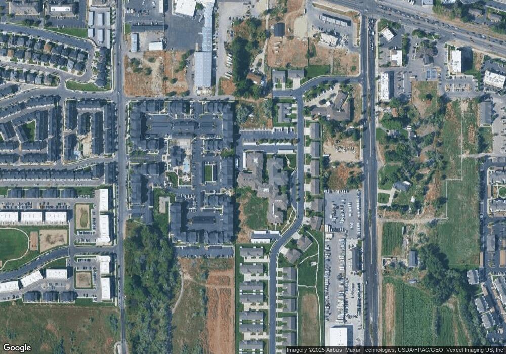
Map
Nearby Homes
- 502 S 1040 E
- 502 S 1040 E Unit 251
- 502 S 1040 E Unit 250
- 502 S 1040 E Unit 249
- 502 S 1040 E
- 502 S 1040 E Unit 247
- 502 S 1040 E
- 502 S 1040 E
- 502 S 1040 E
- 502 S 1040 E
- 502 S 1040 E
- 502 S 1040 E
- 502 S 1040 E
- 502 S 1040 E
- 502 S 1040 E
- 502 S 1040 E Unit 149
- 502 S 1040 E Unit 148
- 502 S 1040 E
- 502 S 1040 E
- 502 S 1040 E Unit 144
Your Personal Tour Guide
Ask me questions while you tour the home.