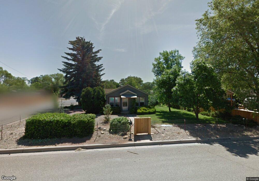
502 S Beech St Cortez, CO 81321
Estimated Value: $137,130 - $288,000
2
Beds
1
Bath
672
Sq Ft
$297/Sq Ft
Est. Value
About This Home
This home is located at 502 S Beech St, Cortez, CO 81321 and is currently estimated at $199,533, approximately $296 per square foot. 502 S Beech St is a home located in Montezuma County with nearby schools including Montezuma-Cortez High School, Children's Kiva Montessori School, and Children's Kiva Montessori Preschool & Kindergarten.
Ownership History
Date
Name
Owned For
Owner Type
Purchase Details
Closed on
Sep 12, 2013
Sold by
Darland Ladonna
Bought by
Wiescamp Betty J
Current Estimated Value
Home Financials for this Owner
Home Financials are based on the most recent Mortgage that was taken out on this home.
Original Mortgage
$129,774
Outstanding Balance
$102,059
Interest Rate
4.41%
Mortgage Type
Unknown
Estimated Equity
$97,474
Purchase Details
Closed on
Aug 31, 2009
Sold by
Darland Ruth M
Bought by
Darland Ladonna
Home Financials for this Owner
Home Financials are based on the most recent Mortgage that was taken out on this home.
Original Mortgage
$72,675
Interest Rate
5.16%
Mortgage Type
New Conventional
Create a Home Valuation Report for This Property
The Home Valuation Report is an in-depth analysis detailing your home's value as well as a comparison with similar homes in the area
Home Values in the Area
Average Home Value in this Area
Purchase History
| Date | Buyer | Sale Price | Title Company |
|---|---|---|---|
| Wiescamp Betty J | $129,000 | Colorado Land Title Co | |
| Darland Ladonna | $76,500 | None Available |
Source: Public Records
Mortgage History
| Date | Status | Borrower | Loan Amount |
|---|---|---|---|
| Open | Wiescamp Betty J | $129,774 | |
| Previous Owner | Darland Ladonna | $72,675 |
Source: Public Records
Tax History Compared to Growth
Tax History
| Year | Tax Paid | Tax Assessment Tax Assessment Total Assessment is a certain percentage of the fair market value that is determined by local assessors to be the total taxable value of land and additions on the property. | Land | Improvement |
|---|---|---|---|---|
| 2024 | $235 | $4,570 | $760 | $3,810 |
| 2023 | $235 | $8,949 | $1,489 | $7,460 |
| 2022 | $329 | $6,804 | $1,489 | $5,315 |
| 2021 | $335 | $6,804 | $1,489 | $5,315 |
| 2020 | $303 | $6,393 | $1,489 | $4,904 |
| 2019 | $304 | $6,393 | $1,489 | $4,904 |
| 2018 | $439 | $6,880 | $1,350 | $5,530 |
| 2017 | $436 | $6,880 | $1,350 | $5,530 |
| 2016 | $398 | $6,920 | $1,490 | $5,430 |
| 2015 | $365 | $100,750 | $0 | $0 |
| 2014 | $381 | $6,200 | $0 | $0 |
Source: Public Records
Map
Nearby Homes
- 519 S Beech St
- 500 S Market St
- 306 S Ash St
- 201 S Washington St
- 145 S Madison St
- 8 W 10th St
- 16 W 10th St
- 821 S Chestnut St
- 122 E 1st St Unit see broker remarks
- 802 Bluffs Blvd
- Lot 93 Jennings Dr
- Lot 92 Jennings Dr
- 1109 Bluffs Blvd
- 1117 Bluffs Blvd
- 535 Geralds Way
- 630 E Fourth St Unit A and B
- 725 Geralds Way
- TBD S Chestnut St
- 801 L Way
- 115 S Linden St