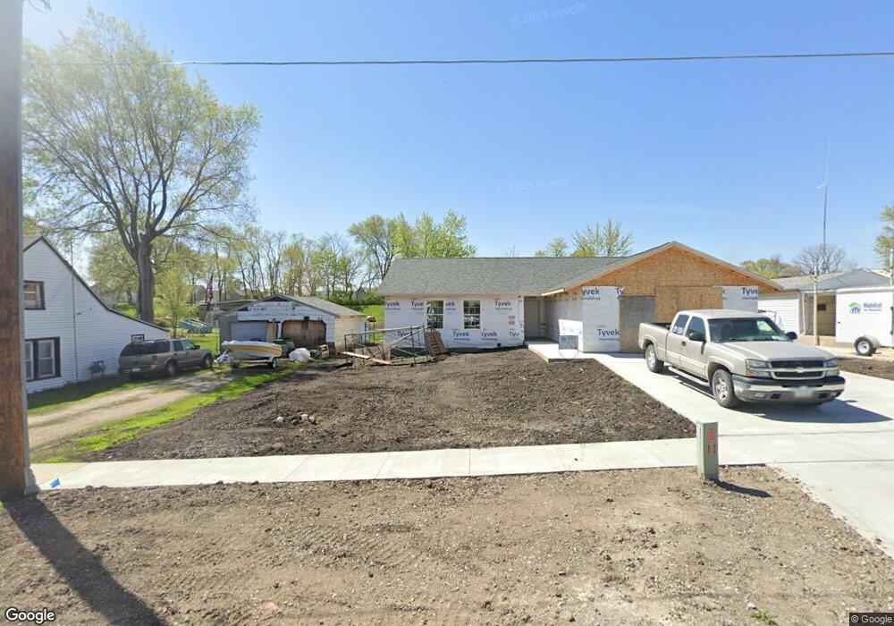
502 W Rock Island St Knoxville, IA 50138
Estimated Value: $226,000 - $291,000
3
Beds
3
Baths
1,406
Sq Ft
$183/Sq Ft
Est. Value
About This Home
This home is located at 502 W Rock Island St, Knoxville, IA 50138 and is currently estimated at $257,304, approximately $183 per square foot. 502 W Rock Island St is a home located in Marion County with nearby schools including West Elementary School, Northstar Elementary School, and Knoxville Middle School.
Ownership History
Date
Name
Owned For
Owner Type
Purchase Details
Closed on
Jul 11, 2023
Sold by
Habitat For Humanity Of Marion County In
Bought by
Cunningham Nikole
Current Estimated Value
Home Financials for this Owner
Home Financials are based on the most recent Mortgage that was taken out on this home.
Original Mortgage
$35,000
Outstanding Balance
$34,130
Interest Rate
6.79%
Estimated Equity
$223,174
Purchase Details
Closed on
Jul 7, 2021
Sold by
Espr043295 Matthew V Hicks Estate
Bought by
Habitat For Humanity Of Marion County In
Create a Home Valuation Report for This Property
The Home Valuation Report is an in-depth analysis detailing your home's value as well as a comparison with similar homes in the area
Home Values in the Area
Average Home Value in this Area
Purchase History
| Date | Buyer | Sale Price | Title Company |
|---|---|---|---|
| Cunningham Nikole | $225,000 | Accommodation/Courtesy Recordi | |
| Habitat For Humanity Of Marion County In | -- | None Available |
Source: Public Records
Mortgage History
| Date | Status | Borrower | Loan Amount |
|---|---|---|---|
| Open | Cunningham Nikole | $35,000 | |
| Open | Cunningham Nikole | $175,000 |
Source: Public Records
Tax History Compared to Growth
Tax History
| Year | Tax Paid | Tax Assessment Tax Assessment Total Assessment is a certain percentage of the fair market value that is determined by local assessors to be the total taxable value of land and additions on the property. | Land | Improvement |
|---|---|---|---|---|
| 2025 | $4,588 | $250,800 | $16,200 | $234,600 |
| 2024 | $4,588 | $231,650 | $16,200 | $215,450 |
| 2023 | -- | $17,220 | $16,200 | $1,020 |
| 2022 | $106 | $13,740 | $12,720 | $1,020 |
| 2021 | $106 | $12,960 | $12,000 | $960 |
| 2020 | $96 | $12,840 | $12,000 | $840 |
Source: Public Records
Map
Nearby Homes
- 312 W Baker St
- 506 W Baker St
- 614 N 1st St
- 000 English Creed Rd
- 421 N 2nd St
- 414 W Marion St
- 713 W Main St
- 506 W Long Lane Dr
- 1405 W Pleasant St
- 303 S Roche St
- 914 W Montgomery St
- 918 W Montgomery St
- 414 S Brobst St
- 1406 W Jackson St
- 1112 Woodland Dr
- 105 N Park Lane Dr
- EmmyLou Floorplan at Veterans District
- Chesney Floorplan at Veterans District
- Jackson Floorplan at Veterans District
- Williams Floorplan at Veterans District
- 418 W Rock Island St
- 506 W Rock Island St
- 414 W Rock Island St
- 501 W Rock Island St
- 505 W Rock Island St
- 413 W Rock Island St
- 514 W Rock Island St
- 410 W Rock Island St
- 513 W Rock Island St
- 409 W Rock Island St
- 518 W Rock Island St
- 405 W Rock Island St
- 718 N Kent St
- 502 W Baker St
- 414 W Baker St
- 514 W Baker St
- 712 N Kent St
- 710 N Kent St
- 810 N Kent St
- 708 N Kent St