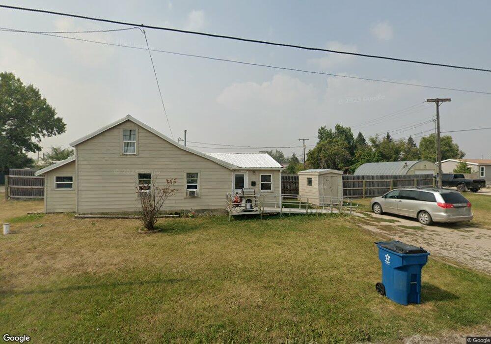
502 Wright St Lewistown, MT 59457
Estimated Value: $129,000 - $164,166
2
Beds
1
Bath
880
Sq Ft
$164/Sq Ft
Est. Value
About This Home
This home is located at 502 Wright St, Lewistown, MT 59457 and is currently estimated at $144,389, approximately $164 per square foot. 502 Wright St is a home located in Fergus County with nearby schools including Fergus High School.
Ownership History
Date
Name
Owned For
Owner Type
Purchase Details
Closed on
Oct 8, 2024
Sold by
Woodhall Barbara L Strong
Bought by
Laverack Dean
Current Estimated Value
Home Financials for this Owner
Home Financials are based on the most recent Mortgage that was taken out on this home.
Original Mortgage
$93,800
Outstanding Balance
$92,721
Interest Rate
6.35%
Mortgage Type
New Conventional
Estimated Equity
$51,668
Purchase Details
Closed on
Sep 22, 1998
Bought by
Woodhall Barbara L Strong and Subj Peter Strong J
Create a Home Valuation Report for This Property
The Home Valuation Report is an in-depth analysis detailing your home's value as well as a comparison with similar homes in the area
Home Values in the Area
Average Home Value in this Area
Purchase History
| Date | Buyer | Sale Price | Title Company |
|---|---|---|---|
| Laverack Dean | -- | Flying S Title And Escrow | |
| Woodhall Barbara L Strong | -- | -- |
Source: Public Records
Mortgage History
| Date | Status | Borrower | Loan Amount |
|---|---|---|---|
| Open | Laverack Dean | $93,800 |
Source: Public Records
Tax History
| Year | Tax Paid | Tax Assessment Tax Assessment Total Assessment is a certain percentage of the fair market value that is determined by local assessors to be the total taxable value of land and additions on the property. | Land | Improvement |
|---|---|---|---|---|
| 2025 | $698 | $130,900 | $0 | $0 |
| 2024 | $682 | $76,800 | $0 | $0 |
| 2023 | $688 | $76,800 | $0 | $0 |
| 2022 | $464 | $41,500 | $0 | $0 |
| 2021 | $378 | $41,500 | $0 | $0 |
| 2020 | $404 | $40,510 | $0 | $0 |
| 2019 | $402 | $40,510 | $0 | $0 |
| 2018 | $367 | $36,100 | $0 | $0 |
| 2017 | $322 | $36,100 | $0 | $0 |
| 2016 | $362 | $36,500 | $0 | $0 |
| 2015 | $318 | $36,500 | $0 | $0 |
| 2014 | $202 | $12,985 | $0 | $0 |
Source: Public Records
Map
Nearby Homes
- 414 Warr St
- NHN Truck Bypass
- 35 acres Truck Bypass
- NHN A St
- 1014 Mountain View Dr
- 412 W Huron St
- 705 Fern Ln
- 724 W Idaho St
- 628 Mountain View Dr
- 632 Mountain View Dr
- 313 W Idaho St
- 105 Hillcrest Dr
- 316 W Corcoran St
- 318 W Evelyn St
- 514 2nd Ave N
- 115 7th Ave N
- 1011 W Broadway St
- 1220 W Main St
- 103 14th Ave S
- 402 E Broadway St
- 500 Wright St
- 501 Wright St
- 511 Wright St
- 521 Reynolds St
- 101 Valley View Ave
- 420 Lane St
- 504 Reynolds St
- 408 Lane St
- 296 Joyland Rd
- 113 Valley View Ave
- 380 Joyland Rd
- 519 Phillips Ave
- 610 Stone Ave
- 519 Lane St
- 600 Reynolds St
- 611 Reynolds St
- 616 Reynolds St
- 604 Lane St
- 708 Stone Ave
- 414 1/2 Warr St
Your Personal Tour Guide
Ask me questions while you tour the home.