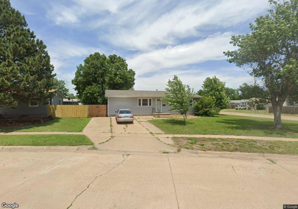
502 Yale Ave Salina, KS 67401
Estimated Value: $167,000 - $240,000
3
Beds
1
Bath
875
Sq Ft
$216/Sq Ft
Est. Value
About This Home
This home is located at 502 Yale Ave, Salina, KS 67401 and is currently estimated at $189,411, approximately $216 per square foot. 502 Yale Ave is a home located in Saline County with nearby schools including Schilling Elementary School, Salina South Middle School, and Salina High School South.
Ownership History
Date
Name
Owned For
Owner Type
Purchase Details
Closed on
Dec 22, 2011
Sold by
Secretary Of Housing And Urban Developme
Bought by
Reid James W
Current Estimated Value
Home Financials for this Owner
Home Financials are based on the most recent Mortgage that was taken out on this home.
Original Mortgage
$52,080
Outstanding Balance
$35,643
Interest Rate
4.02%
Mortgage Type
Future Advance Clause Open End Mortgage
Estimated Equity
$153,768
Purchase Details
Closed on
Sep 22, 2011
Sold by
Citimortgage Inc
Bought by
Secretary Of Housing And Urban Developme
Create a Home Valuation Report for This Property
The Home Valuation Report is an in-depth analysis detailing your home's value as well as a comparison with similar homes in the area
Home Values in the Area
Average Home Value in this Area
Purchase History
| Date | Buyer | Sale Price | Title Company |
|---|---|---|---|
| Reid James W | -- | C W Lynn Abstract Company, I | |
| Secretary Of Housing And Urban Developme | -- | -- |
Source: Public Records
Mortgage History
| Date | Status | Borrower | Loan Amount |
|---|---|---|---|
| Open | Reid James W | $52,080 |
Source: Public Records
Tax History Compared to Growth
Tax History
| Year | Tax Paid | Tax Assessment Tax Assessment Total Assessment is a certain percentage of the fair market value that is determined by local assessors to be the total taxable value of land and additions on the property. | Land | Improvement |
|---|---|---|---|---|
| 2025 | $2,311 | $19,676 | $1,742 | $17,934 |
| 2024 | $2,311 | $17,848 | $1,340 | $16,508 |
| 2023 | $2,311 | $18,354 | $1,532 | $16,822 |
| 2022 | $2,170 | $16,664 | $1,532 | $15,132 |
| 2021 | $2,177 | $16,031 | $1,620 | $14,411 |
| 2020 | $2,084 | $15,180 | $1,620 | $13,560 |
| 2019 | $1,598 | $12,489 | $1,341 | $11,148 |
| 2018 | $1,532 | $11,408 | $1,341 | $10,067 |
| 2017 | $0 | $10,028 | $1,341 | $8,687 |
| 2016 | $0 | $11,822 | $1,341 | $10,481 |
| 2015 | -- | $11,374 | $1,341 | $10,033 |
| 2013 | -- | $0 | $0 | $0 |
Source: Public Records
Map
Nearby Homes
- 800 Harold Ave
- 415 Garden Ave
- 366 Maple Ave
- 1110 Andrew Ave
- 603 Smith Ave
- 1945 Gebhart St
- 1619 Cloud Cir
- 1402 S 9th St
- 1300 Dover Dr
- 2053 Quincy St
- 1100 S 9th St
- 1531 Bachtold Ave
- 1102 Windsor Dr
- 944 S 10th St
- 639 Ralph Ave
- 220 E Ellsworth Ave
- 923 Sherman St
- 960 S 9th St
- 1333 W Republic Ave
- 401 Reed Ave