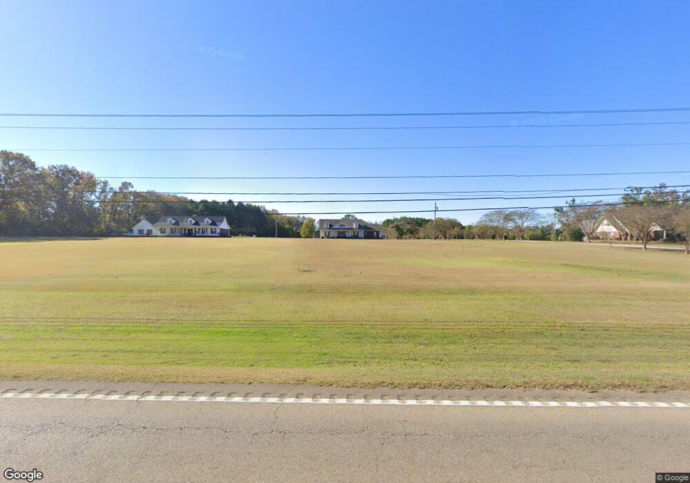
5020 Highway 15 S Pontotoc, MS 38863
Estimated Value: $206,719 - $419,000
Studio
2
Baths
2,160
Sq Ft
$134/Sq Ft
Est. Value
About This Home
This home is located at 5020 Highway 15 S, Pontotoc, MS 38863 and is currently estimated at $289,430, approximately $133 per square foot. 5020 Highway 15 S is a home located in Pontotoc County.
Ownership History
Date
Name
Owned For
Owner Type
Purchase Details
Closed on
Jan 31, 2020
Sold by
Payne Dustin and Payne Cheley
Bought by
Stokes Jacob C and Stokes Alexis M
Current Estimated Value
Home Financials for this Owner
Home Financials are based on the most recent Mortgage that was taken out on this home.
Original Mortgage
$195,895
Outstanding Balance
$36,668
Interest Rate
3.72%
Mortgage Type
Credit Line Revolving
Estimated Equity
$252,762
Purchase Details
Closed on
Oct 24, 2019
Sold by
Peralta Gerald Donald and Peralta Jessica Fancher
Bought by
Payne Dustin R and Payne Cheley B
Home Financials for this Owner
Home Financials are based on the most recent Mortgage that was taken out on this home.
Original Mortgage
$41,363
Interest Rate
3.6%
Mortgage Type
Unknown
Create a Home Valuation Report for This Property
The Home Valuation Report is an in-depth analysis detailing your home's value as well as a comparison with similar homes in the area
Purchase History
| Date | Buyer | Sale Price | Title Company |
|---|---|---|---|
| Stokes Jacob C | -- | None Available | |
| Payne Dustin R | -- | None Available |
Source: Public Records
Mortgage History
| Date | Status | Borrower | Loan Amount |
|---|---|---|---|
| Open | Stokes Jacob C | $195,895 | |
| Previous Owner | Payne Dustin R | $41,363 |
Source: Public Records
Tax History
| Year | Tax Paid | Tax Assessment Tax Assessment Total Assessment is a certain percentage of the fair market value that is determined by local assessors to be the total taxable value of land and additions on the property. | Land | Improvement |
|---|---|---|---|---|
| 2025 | $1,971 | $15,416 | $0 | $0 |
| 2024 | $1,971 | $15,416 | $0 | $0 |
| 2023 | $1,971 | $15,416 | $0 | $0 |
| 2022 | $1,471 | $13,849 | $0 | $0 |
| 2021 | $1,471 | $13,849 | $0 | $0 |
| 2020 | $1,771 | $13,849 | $0 | $0 |
| 2019 | $1,425 | $13,817 | $0 | $0 |
| 2018 | $1,312 | $12,909 | $0 | $0 |
| 2017 | $1,347 | $12,909 | $0 | $0 |
| 2016 | $1,347 | $12,909 | $0 | $0 |
| 2015 | -- | $13,035 | $0 | $0 |
| 2014 | -- | $13,035 | $0 | $0 |
Source: Public Records
Map
Nearby Homes
- 5019 Mississippi 15
- 40 ac Donaldson Rd
- 0 (6 Acres) Arnold Trail
- Dr
- 190 Riley Ln
- 140 N Magnolia Place
- 44.36 ac City Ave N
- 270 Horseshoe Bend
- 630 Black Zion Rd
- 131 Corey Ln
- 339 Meadow Lark Dr
- 174 Old Natchez Trace Rd
- 231 Lake Dr
- 250 S Liberty St
- 0002 Garrett Creek Loop
- 168 Highland Dr
- 78+/-ac Wallfield Rd
- 836 Toxish Rd
- 172 Coffee St
- 5056 Highway 15 S
- 5000 Highway 15 S
- 5041 Highway 15 S
- 92 Mulberry Ridge Cir
- 5010 Highway 15 S
- 5121 Highway 15 S
- 152 Mulberry Ridge Cir
- 5101 Highway 15 S
- 5149 Highway 15 S
- 91 Mulberry Ridge Cir
- 216 Mulberry Ridge Cir
- 4960 Highway 15 S
- 216 Mulberry Ridge Cir
- 109 Jackson Rd
- 47 Jackson Rd
- 177 Jackson Rd
- 151 Mulberry Ridge Cir
- 177 Jackson Rd
- 0 Highway 15 S
- 231 Jackson Rd
Your Personal Tour Guide
Ask me questions while you tour the home.