5020 Mount Aukum Rd Placerville, CA 95667
Estimated Value: $390,000 - $562,000
2
Beds
2
Baths
1,440
Sq Ft
$328/Sq Ft
Est. Value
About This Home
This home is located at 5020 Mount Aukum Rd, Placerville, CA 95667 and is currently estimated at $472,317, approximately $327 per square foot. 5020 Mount Aukum Rd is a home located in El Dorado County with nearby schools including Gold Oak Elementary School, Pleasant Valley Middle School, and Union Mine High School.
Ownership History
Date
Name
Owned For
Owner Type
Purchase Details
Closed on
Sep 14, 2020
Sold by
Crutchley Timothy O and Crutchley Paige C
Bought by
Crutchley Timothy O and Crutchley Paige C
Current Estimated Value
Purchase Details
Closed on
Sep 17, 1999
Sold by
Bauer Kenneth D
Bought by
Crutchley Timothy O and Crutchley Paige C
Home Financials for this Owner
Home Financials are based on the most recent Mortgage that was taken out on this home.
Original Mortgage
$133,805
Outstanding Balance
$39,882
Interest Rate
7.89%
Mortgage Type
FHA
Estimated Equity
$432,435
Create a Home Valuation Report for This Property
The Home Valuation Report is an in-depth analysis detailing your home's value as well as a comparison with similar homes in the area
Home Values in the Area
Average Home Value in this Area
Purchase History
| Date | Buyer | Sale Price | Title Company |
|---|---|---|---|
| Crutchley Timothy O | -- | None Available | |
| Crutchley Timothy O | $135,000 | Fidelity National Title Co |
Source: Public Records
Mortgage History
| Date | Status | Borrower | Loan Amount |
|---|---|---|---|
| Open | Crutchley Timothy O | $133,805 |
Source: Public Records
Tax History Compared to Growth
Tax History
| Year | Tax Paid | Tax Assessment Tax Assessment Total Assessment is a certain percentage of the fair market value that is determined by local assessors to be the total taxable value of land and additions on the property. | Land | Improvement |
|---|---|---|---|---|
| 2025 | $2,165 | $207,002 | $76,835 | $130,167 |
| 2024 | $2,165 | $202,944 | $75,329 | $127,615 |
| 2023 | $2,121 | $198,965 | $73,852 | $125,113 |
| 2022 | $2,089 | $195,064 | $72,404 | $122,660 |
| 2021 | $2,060 | $191,240 | $70,985 | $120,255 |
| 2020 | $2,031 | $189,280 | $70,258 | $119,022 |
| 2019 | $2,004 | $185,570 | $68,881 | $116,689 |
| 2018 | $1,948 | $181,932 | $67,531 | $114,401 |
| 2017 | $1,914 | $178,365 | $66,207 | $112,158 |
| 2016 | $1,885 | $174,868 | $64,909 | $109,959 |
| 2015 | $1,821 | $172,243 | $63,935 | $108,308 |
| 2014 | $1,821 | $168,872 | $62,684 | $106,188 |
Source: Public Records
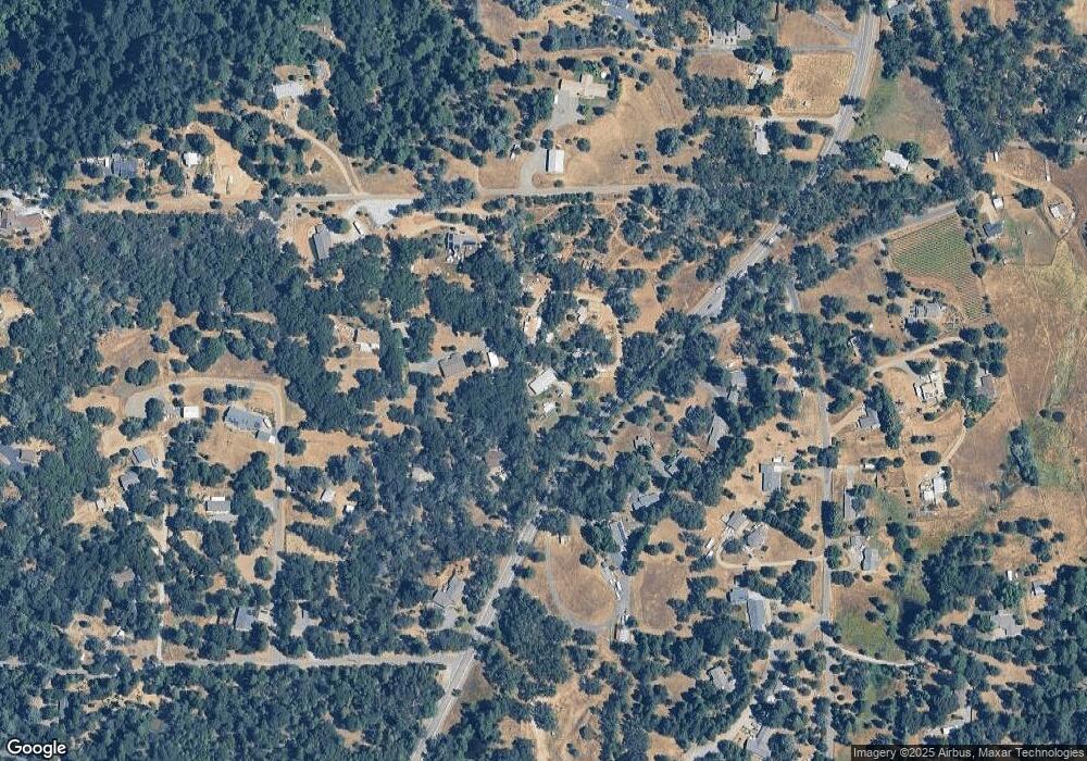
Map
Nearby Homes
- 2004 Bruin Trail
- 5201 Dollhouse Rd
- 4540 Kruk Trail
- 5476 Mount Aukum Rd
- 1381 Muleshoe Pass
- 2344 Four Springs Trail
- 6432 Happy Valley Rd
- 0 Northern Lights Rd
- 4842 Northern Lights Rd
- 5348 Newtown Rd
- 5302 Newtown Rd
- 5031 Anne Louise Ln
- 4505 Maidu Trail
- 3950 Frog Hollow Dr
- 3960 Fort Jim Rd
- 6340 Grizzly Flat Rd
- 3700 Wilson Loop
- 0 Treasure Rock Ln
- 6540 Casa Contenta Dr
- 4342 Savage Rd
- 4900 Mount Aukum Rd
- 5034 Breezy Way
- 5050 Mount Aukum Rd
- 5011 Mount Aukum Rd
- 5003 Mount Aukum Rd
- 4993 Breezy Way
- 5027 Mount Aukum Rd
- 4907 Mount Aukum Rd
- 5000 Breezy Way
- 4889 Mount Aukum Rd
- 4990 Breezy Way
- 5070 Mount Aukum Rd
- 4910 Oak Leaf Cir
- 4930 Oak Leaf Cir
- 4960 Oak Leaf Cir
- 3476 Oak Leaf Cir
- 0 Silver Ridge Ct
- 4640 Abbey Rd
- 4220 Silver Ridge Ct
- 4233 Dayspring Ct