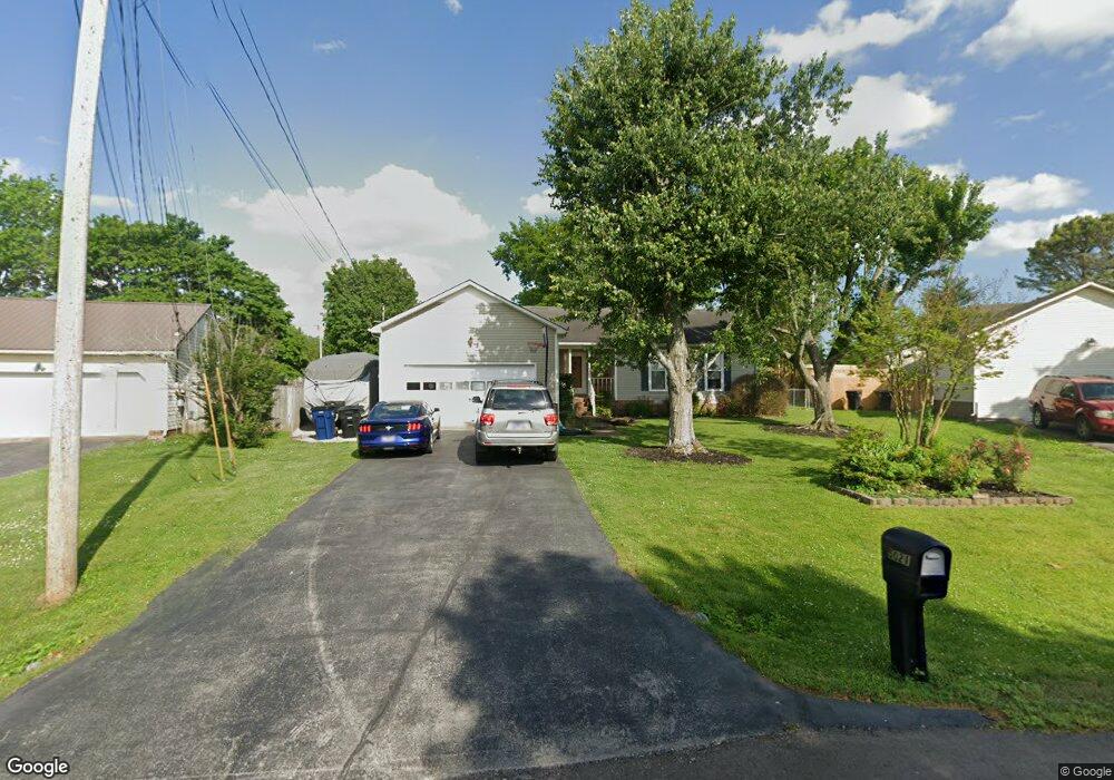
5021 Brookside Dr Columbia, TN 38401
Estimated Value: $322,943
--
Bed
2
Baths
1,380
Sq Ft
$234/Sq Ft
Est. Value
About This Home
This home is located at 5021 Brookside Dr, Columbia, TN 38401 and is currently priced at $322,943, approximately $234 per square foot. 5021 Brookside Dr is a home located in Maury County with nearby schools including J.E. Woodard Elementary School, Whitthorne Middle School, and Columbia Central High School.
Ownership History
Date
Name
Owned For
Owner Type
Purchase Details
Closed on
Jan 20, 2005
Sold by
Guenther Bruce F and Guenther Gail L
Bought by
Griggs Andrew and Holder Holly A
Current Estimated Value
Home Financials for this Owner
Home Financials are based on the most recent Mortgage that was taken out on this home.
Original Mortgage
$113,000
Outstanding Balance
$56,523
Interest Rate
5.61%
Mortgage Type
Purchase Money Mortgage
Purchase Details
Closed on
Jul 22, 1994
Sold by
Blain Gary E
Bought by
Guenther Bruce F
Purchase Details
Closed on
Mar 2, 1989
Bought by
Blain Gary E and Blain Gerri D
Purchase Details
Closed on
Dec 8, 1988
Bought by
Clark Claude M and Clark Janey L
Purchase Details
Closed on
Dec 31, 1986
Bought by
Hairston Hairston F and Hairston Beth B
Create a Home Valuation Report for This Property
The Home Valuation Report is an in-depth analysis detailing your home's value as well as a comparison with similar homes in the area
Home Values in the Area
Average Home Value in this Area
Purchase History
| Date | Buyer | Sale Price | Title Company |
|---|---|---|---|
| Griggs Andrew | $113,500 | Security Title & Escrow Co L | |
| Guenther Bruce F | $78,500 | -- | |
| Blain Gary E | $74,900 | -- | |
| Clark Claude M | $30,000 | -- | |
| Hairston Hairston F | -- | -- |
Source: Public Records
Mortgage History
| Date | Status | Borrower | Loan Amount |
|---|---|---|---|
| Open | Griggs Andrew | $113,000 | |
| Previous Owner | Hairston Hairston F | $100,800 | |
| Previous Owner | Hairston Hairston F | $75,358 | |
| Previous Owner | Hairston Hairston F | $28,500 |
Source: Public Records
Tax History Compared to Growth
Tax History
| Year | Tax Paid | Tax Assessment Tax Assessment Total Assessment is a certain percentage of the fair market value that is determined by local assessors to be the total taxable value of land and additions on the property. | Land | Improvement |
|---|---|---|---|---|
| 2022 | $1,524 | $55,725 | $12,500 | $43,225 |
Source: Public Records
Map
Nearby Homes
- 3005 Westwood Dr
- 4007 Westwood Dr
- 6005 Cayce Ln
- 6009 Hays Dr
- 3006 Sheddan Dr
- 1701 Jamie Dr
- 5013 Hays Dr
- 5011 Hays Dr
- 2910 Brookside Dr
- 1620 Baucom Dr
- 4002 Trotwood Ave
- 1612 Jamie Dr
- 231 Overlook Place
- 6152 Worthington Rd
- 6157 Worthington Rd
- 4007 Hays Dr
- 6161 Worthington Rd
- 6158 Worthington Rd
- 6509 Ripple Ridge Ct
- 6152 Worthingtion
- 5023 Brookside Dr
- 5019 Brookside Dr
- 5006 Hairston Ct
- 5008 Hairston Ct
- 5004 Hairston Ct
- 5034 Brookside Dr
- 5017 Brookside Dr
- 5032 Brookside Dr
- 5002 Hairston Ct
- 5027 Brookside Dr
- 5010 Hairston Ct
- 5006 Robinson Dr
- 5008 Robinson Dr
- 5030 Brookside Dr
- 5015 Brookside Dr
- 5036 Brookside Dr
- 5010 Robinson Dr
- 5029 Brookside Dr
- 5000 Hairston Ct
- 6106 Cayce Ln