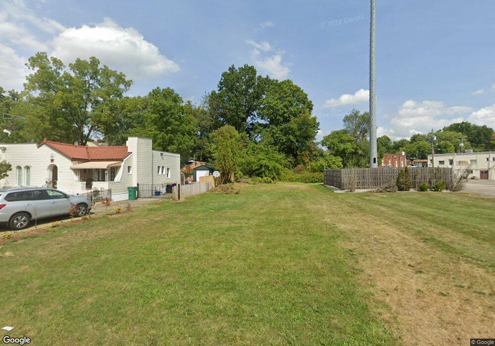
5025 Brookwood Rd Youngstown, OH 44512
Estimated Value: $82,000 - $266,000
2
Beds
2
Baths
1,260
Sq Ft
$108/Sq Ft
Est. Value
About This Home
This home is located at 5025 Brookwood Rd, Youngstown, OH 44512 and is currently estimated at $135,894, approximately $107 per square foot. 5025 Brookwood Rd is a home located in Mahoning County with nearby schools including Boardman Center Middle School, Boardman High School, and Horizon Science Academy - Youngstown.
Ownership History
Date
Name
Owned For
Owner Type
Purchase Details
Closed on
Aug 7, 2025
Sold by
Sheriff Of Mahoning County
Bought by
Mahoning County Land Reutilization Corporatio
Current Estimated Value
Purchase Details
Closed on
Dec 21, 2004
Sold by
Anderson G Beth
Bought by
Brandt Edward H
Purchase Details
Closed on
Jan 20, 1995
Sold by
Est Margaret L Owen
Bought by
Anderson Beth G
Home Financials for this Owner
Home Financials are based on the most recent Mortgage that was taken out on this home.
Original Mortgage
$28,600
Interest Rate
9.2%
Mortgage Type
New Conventional
Purchase Details
Closed on
Dec 20, 1978
Bought by
Owen Margaret L
Create a Home Valuation Report for This Property
The Home Valuation Report is an in-depth analysis detailing your home's value as well as a comparison with similar homes in the area
Home Values in the Area
Average Home Value in this Area
Purchase History
| Date | Buyer | Sale Price | Title Company |
|---|---|---|---|
| Mahoning County Land Reutilization Corporatio | $1,320 | None Listed On Document | |
| Mahoning County Land Reutilization Corporatio | $1,320 | None Listed On Document | |
| Brandt Edward H | $43,500 | -- | |
| Anderson Beth G | $32,000 | -- | |
| Owen Margaret L | -- | -- |
Source: Public Records
Mortgage History
| Date | Status | Borrower | Loan Amount |
|---|---|---|---|
| Previous Owner | Anderson Beth G | $28,600 |
Source: Public Records
Tax History Compared to Growth
Tax History
| Year | Tax Paid | Tax Assessment Tax Assessment Total Assessment is a certain percentage of the fair market value that is determined by local assessors to be the total taxable value of land and additions on the property. | Land | Improvement |
|---|---|---|---|---|
| 2024 | $254 | $4,240 | $4,240 | -- |
| 2023 | $806 | $4,240 | $4,240 | $0 |
| 2022 | $1,290 | $4,040 | $4,040 | $0 |
| 2021 | $1,674 | $11,120 | $5,050 | $6,070 |
| 2020 | $1,848 | $11,120 | $5,050 | $6,070 |
| 2019 | $1,079 | $10,480 | $4,760 | $5,720 |
| 2018 | $115 | $10,480 | $4,760 | $5,720 |
| 2017 | $112 | $10,480 | $4,760 | $5,720 |
| 2016 | $652 | $16,560 | $4,760 | $11,800 |
| 2015 | $492 | $16,560 | $4,760 | $11,800 |
| 2014 | $493 | $16,560 | $4,760 | $11,800 |
| 2013 | $487 | $16,560 | $4,760 | $11,800 |
Source: Public Records
Map
Nearby Homes
- 28 Terrace Dr
- 5020 Friendship Ave
- 83 Beechwood Dr
- 94 Beechwood Dr
- 60 Shadyside Dr
- 272 Shields Rd
- 94 Shadyside Dr
- 4508 Southern Blvd
- 4504 Southern Blvd
- 30 Pinehurst Ave
- 127 Melrose Ave
- 4250 Oak Knoll Dr
- 5522 Southern Blvd
- 117 Overhill Rd
- 4225 Stratford Rd
- 44 Gertrude Ave
- 169 Wolcott Dr
- 4307 Helena Ave
- 149 Argyle Ave
- 167 Afton Ave
- 5021 Brookwood Rd
- 5009 Brookwood Rd Unit 11
- 4863 Oak Knoll Dr
- 4869 Oak Knoll Dr
- 5086 Market St
- 4859 Oak Knoll Dr
- 4849 Oak Knoll Dr
- 4890 Brookwood Rd
- 5122 Market St
- 4845 Oak Knoll Dr
- 46 Shields Rd
- 4846 Oak Knoll Dr
- 4878 Brookwood Rd
- 4879 Brookwood Rd
- 4839 Oak Knoll Dr
- 5095 Market St
- 5105 Market St
- 15 Homestead Dr
- 4830 Oak Knoll Dr
- 4833 Oak Knoll Dr