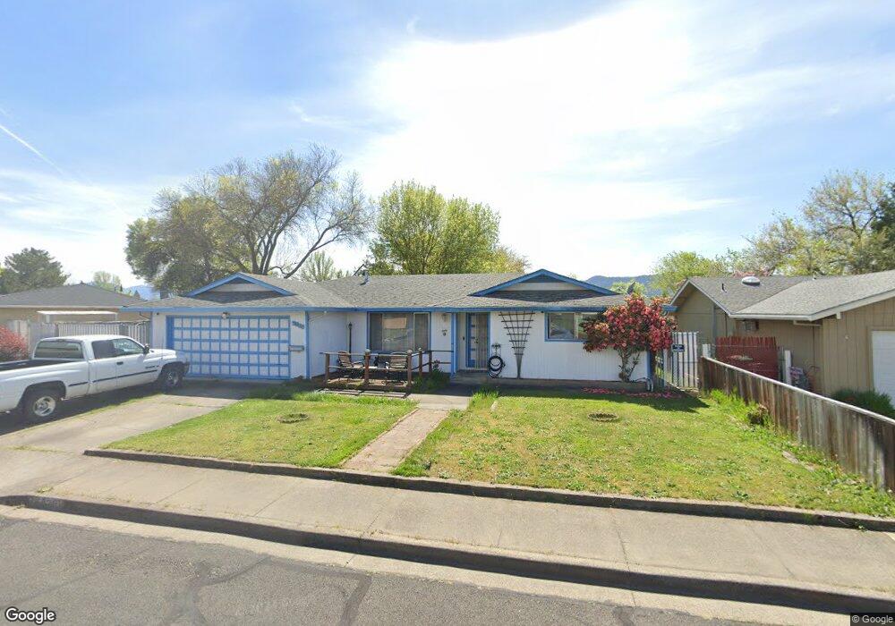
5025 Rock Way Central Point, OR 97502
Estimated Value: $408,000 - $433,000
3
Beds
2
Baths
1,649
Sq Ft
$255/Sq Ft
Est. Value
About This Home
This home is located at 5025 Rock Way, Central Point, OR 97502 and is currently estimated at $420,412, approximately $254 per square foot. 5025 Rock Way is a home located in Jackson County with nearby schools including Jewett Elementary School, Scenic Middle School, and Crater High School.
Ownership History
Date
Name
Owned For
Owner Type
Purchase Details
Closed on
Jul 21, 1998
Sold by
Griffith David J and Griffith Judi L
Bought by
Tarolli Daryle J and Tarolli Leticia
Current Estimated Value
Home Financials for this Owner
Home Financials are based on the most recent Mortgage that was taken out on this home.
Original Mortgage
$107,200
Outstanding Balance
$24,343
Interest Rate
8.25%
Estimated Equity
$396,069
Create a Home Valuation Report for This Property
The Home Valuation Report is an in-depth analysis detailing your home's value as well as a comparison with similar homes in the area
Home Values in the Area
Average Home Value in this Area
Purchase History
| Date | Buyer | Sale Price | Title Company |
|---|---|---|---|
| Tarolli Daryle J | $134,000 | Jackson County Title |
Source: Public Records
Mortgage History
| Date | Status | Borrower | Loan Amount |
|---|---|---|---|
| Open | Tarolli Daryle J | $107,200 | |
| Closed | Tarolli Daryle J | $30,800 |
Source: Public Records
Tax History Compared to Growth
Tax History
| Year | Tax Paid | Tax Assessment Tax Assessment Total Assessment is a certain percentage of the fair market value that is determined by local assessors to be the total taxable value of land and additions on the property. | Land | Improvement |
|---|---|---|---|---|
| 2025 | $3,988 | $239,850 | $71,630 | $168,220 |
| 2024 | $3,988 | $232,870 | $69,550 | $163,320 |
| 2023 | $3,859 | $226,090 | $67,530 | $158,560 |
| 2022 | $3,769 | $226,090 | $67,530 | $158,560 |
| 2021 | $3,662 | $219,510 | $65,570 | $153,940 |
| 2020 | $3,555 | $213,120 | $63,660 | $149,460 |
| 2019 | $3,467 | $200,900 | $60,010 | $140,890 |
| 2018 | $3,362 | $195,050 | $58,260 | $136,790 |
| 2017 | $3,277 | $195,050 | $58,260 | $136,790 |
| 2016 | $3,182 | $183,860 | $54,910 | $128,950 |
| 2015 | $3,048 | $183,860 | $54,910 | $128,950 |
| 2014 | $2,971 | $173,320 | $51,750 | $121,570 |
Source: Public Records
Map
Nearby Homes
- 4035 Rock Way
- 335 Applewood Dr
- 356 Marian Ave Unit 40
- 4626 N Pacific Hwy
- 327 Brookhaven Dr
- 1010 N 3rd St
- 920 N 10th St
- 905 Comet Ave
- 426 Bridge Creek Dr
- 413 Sand Pointe Dr
- 422 Castle Rock Dr
- 0 Peninger Rd
- 1167 Boulder Ridge St
- 741 Hazel St
- 55 Crater Ln
- 833 Hazel St
- 526 Stone Pointe Dr
- 629 Bridge Creek Dr
- 405 N 9th St
- 342 Hazel St
- 5015 Rock Way
- 5035 Rock Way
- 5020 Crestwood Ave
- 5045 Rock Way
- 1933 Parkwood Ave
- 5005 Rock Way
- 5040 Rock Way
- 5030 Crestwood Ave
- 1931 Parkwood Ave
- 5030 Rock Way
- 5050 Rock Way
- 5020 Rock Way
- 5050 Crestwood Ave
- 5040 Crestwood Ave
- 5060 Rock Way
- 5010 Rock Way
- 2580 Parkwood Ave
- 2606 Parkwood Ave
- 5000 Rock Way
- 5070 Rock Way