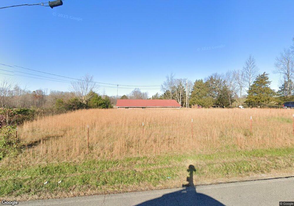
5026 Mirandy Rd Cookeville, TN 38506
Estimated Value: $178,279 - $337,000
--
Bed
1
Bath
1,456
Sq Ft
$199/Sq Ft
Est. Value
About This Home
This home is located at 5026 Mirandy Rd, Cookeville, TN 38506 and is currently estimated at $289,570, approximately $198 per square foot. 5026 Mirandy Rd is a home located in Putnam County with nearby schools including Algood Middle School, Algood Elementary School, and Cookeville High School.
Ownership History
Date
Name
Owned For
Owner Type
Purchase Details
Closed on
Oct 17, 2022
Sold by
Charles J Roberson Family Credit Shelter
Bought by
Ruth Roberson Revocable Trust
Current Estimated Value
Purchase Details
Closed on
Feb 16, 2012
Sold by
Roberson Charles J Trust
Bought by
Roberson Charles J Family Cred and Roberson Ruth (Tr)
Purchase Details
Closed on
Oct 22, 2009
Sold by
Roberson Charles J
Bought by
Roberson Charles J
Purchase Details
Closed on
May 23, 1978
Bought by
Roberson Charles J and Roberson Ruth
Create a Home Valuation Report for This Property
The Home Valuation Report is an in-depth analysis detailing your home's value as well as a comparison with similar homes in the area
Home Values in the Area
Average Home Value in this Area
Purchase History
| Date | Buyer | Sale Price | Title Company |
|---|---|---|---|
| Ruth Roberson Revocable Trust | -- | -- | |
| Roberson Charles J Family Cred | -- | -- | |
| Roberson Charles J | -- | -- | |
| Roberson Charles J | -- | -- |
Source: Public Records
Tax History Compared to Growth
Tax History
| Year | Tax Paid | Tax Assessment Tax Assessment Total Assessment is a certain percentage of the fair market value that is determined by local assessors to be the total taxable value of land and additions on the property. | Land | Improvement |
|---|---|---|---|---|
| 2024 | $681 | $25,600 | $22,175 | $3,425 |
| 2023 | $681 | $25,600 | $22,175 | $3,425 |
| 2022 | $633 | $25,600 | $22,175 | $3,425 |
| 2021 | $633 | $25,600 | $22,175 | $3,425 |
| 2020 | $669 | $25,600 | $22,175 | $3,425 |
| 2019 | $669 | $22,850 | $18,550 | $4,300 |
| 2018 | $624 | $22,850 | $18,550 | $4,300 |
| 2017 | $624 | $22,850 | $18,550 | $4,300 |
| 2016 | $624 | $22,850 | $18,550 | $4,300 |
| 2015 | $624 | $22,850 | $18,550 | $4,300 |
| 2014 | $585 | $20,841 | $0 | $0 |
Source: Public Records
Map
Nearby Homes
- 1916 Bear Creek Point
- 2035 Bear Creek Point
- 3435 Northwind Dr
- 4201 Mirandy Rd
- 3006 Deerhaven Dr N
- 3429 Wj Robinson Rd
- 2908 Deerhaven Dr S
- 000 Mirandy Rd
- 3485 Officers Chapel Rd
- 1663 Paran Rd
- 0 Bear Creek Cir
- 3930 Olyvia Ct
- 3011 Zeb Warren Rd
- 902 Evelyn Ct
- 5004 Curtis Way
- 1081 Cynthia St
- 30 AC W Paron Rd
- 5898 Hilham Rd
- 4887 Hilham Rd
- 4974 Mirandy Rd
- 5052 Mirandy Rd
- 4920 Mirandy Rd
- 4871 Mirandy Rd
- 5205 Mirandy Rd
- 2802 Brangus Ln
- 5297 Mirandy Rd
- 2835 Paran Pointe Dr
- 2841 Paran Pointe Dr
- 2847 Paran Pointe Dr
- 12 Acres Brangus Ln
- 2829 Paran Pointe Dr
- 2853 Paran Pointe Dr
- 2735 Beckner Ln
- 2950 Brangus Ln
- 2859 Paran Pointe Dr
- 2859 Paran Pointe Dr
- 4701 Mirandy Rd
- 2823 Paran Pointe Dr
- 3077 Brangus Ln