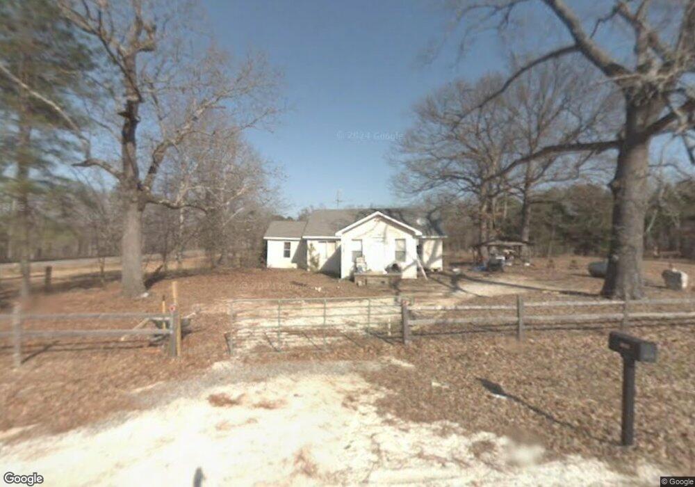
5026 Pryor Dr Malvern, AR 72104
Estimated Value: $68,000 - $104,609
--
Bed
1
Bath
--
Sq Ft
3
Acres
About This Home
This home is located at 5026 Pryor Dr, Malvern, AR 72104 and is currently estimated at $91,203. 5026 Pryor Dr is a home located in Saline County with nearby schools including Glen Rose Elementary School, Glen Rose Middle School, and Glen Rose High School.
Ownership History
Date
Name
Owned For
Owner Type
Purchase Details
Closed on
Oct 13, 2022
Sold by
Brumley Family Trust and Brumley William P
Bought by
Darrel Jones Development Llc
Current Estimated Value
Home Financials for this Owner
Home Financials are based on the most recent Mortgage that was taken out on this home.
Original Mortgage
$56,000
Interest Rate
5.66%
Mortgage Type
Construction
Purchase Details
Closed on
Oct 22, 2015
Bought by
Brumley
Purchase Details
Closed on
Oct 6, 2006
Sold by
Collins Terry J and Collins Candace L
Bought by
Trammell Richard Lee
Home Financials for this Owner
Home Financials are based on the most recent Mortgage that was taken out on this home.
Original Mortgage
$51,379
Interest Rate
6.46%
Mortgage Type
New Conventional
Purchase Details
Closed on
Jun 19, 1998
Bought by
Collins T
Purchase Details
Closed on
Jan 1, 1987
Bought by
Raper
Create a Home Valuation Report for This Property
The Home Valuation Report is an in-depth analysis detailing your home's value as well as a comparison with similar homes in the area
Home Values in the Area
Average Home Value in this Area
Purchase History
| Date | Buyer | Sale Price | Title Company |
|---|---|---|---|
| Darrel Jones Development Llc | $95,000 | First National Title | |
| Brumley | $48,000 | -- | |
| Brumley | $48,000 | -- | |
| Trammell Richard Lee | $52,000 | -- | |
| Collins T | -- | -- | |
| Raper | -- | -- |
Source: Public Records
Mortgage History
| Date | Status | Borrower | Loan Amount |
|---|---|---|---|
| Closed | Darrel Jones Development Llc | $56,000 | |
| Previous Owner | Trammell Richard Lee | $51,379 |
Source: Public Records
Tax History Compared to Growth
Tax History
| Year | Tax Paid | Tax Assessment Tax Assessment Total Assessment is a certain percentage of the fair market value that is determined by local assessors to be the total taxable value of land and additions on the property. | Land | Improvement |
|---|---|---|---|---|
| 2025 | $246 | $5,136 | $5,136 | -- |
| 2024 | $246 | $5,136 | $5,136 | $0 |
| 2023 | $256 | $5,136 | $5,136 | $0 |
| 2022 | $199 | $5,136 | $5,136 | $0 |
| 2021 | $181 | $3,580 | $3,580 | $0 |
| 2020 | $221 | $3,580 | $3,580 | $0 |
| 2019 | $221 | $3,580 | $3,580 | $0 |
| 2018 | $221 | $3,580 | $3,580 | $0 |
| 2017 | $221 | $3,580 | $3,580 | $0 |
| 2016 | $221 | $0 | $0 | $0 |
| 2015 | $522 | $11,170 | $3,580 | $7,590 |
| 2014 | $222 | $10,900 | $3,580 | $7,320 |
Source: Public Records
Map
Nearby Homes
- 8903 & 8905 Fairplay Rd
- 000 Traskwood Rd
- 14124 Highway 67
- 185 Edgewater Cove
- 2019 Traskwood Rd
- 7000 Rolling Manor Dr
- 000 Eiler Loop
- 7035 Point View Rd
- 6115 Point View Rd
- 0000 Deer Creek Rd
- 4051 Whitney Ln
- 500 R Tram - Rear Right
- 500 R Tram - Left Rear
- 500 R Tram - Front Right
- 500 R Tram - Left Side - Front
- 1500 Dwight Brown Rd
- 4133 Brody Crossing
- 1629 Glen Rose Rd
- 347 Chandler Rd
- 2009 Berkshire Dr
- 13111 Highway 67
- 411 Pryor Dr
- 0 Hwy 67 and Pryor Dr Unit 21025649
- 351 Pryor Dr
- 5220 Pryor Dr
- 12233 Highway 67
- 0 Pryor Dr Unit 20025282
- 233 Pryor Dr
- 13180 Highway 67
- 13138 Highway 67
- 291 Pryor Dr
- 12213 Highway 67
- 12224 Highway 67
- 13291 Highway 67
- 12141 Highway 67
- 13297 Highway 67
- 13282 Highway 67
- 13282 Highway 67
- 387 Pryor Dr
- 13357 Highway 67