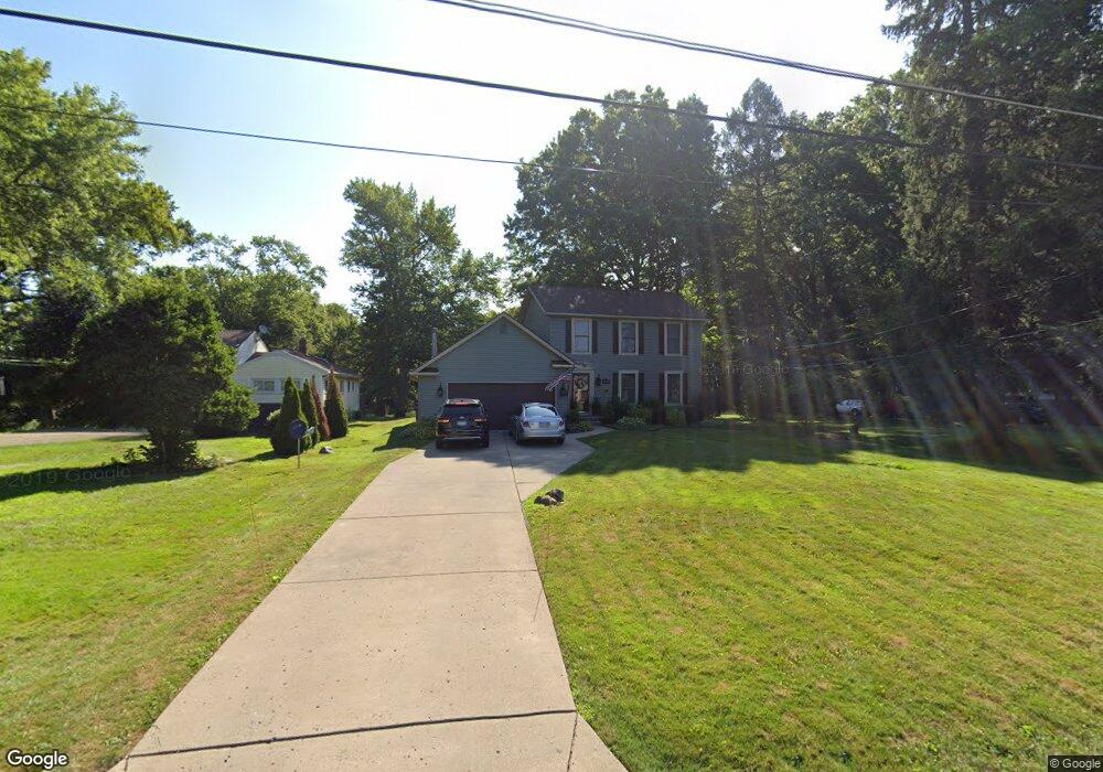
5027 Simon Rd Youngstown, OH 44512
Estimated Value: $154,000 - $248,736
3
Beds
2
Baths
1,736
Sq Ft
$120/Sq Ft
Est. Value
About This Home
This home is located at 5027 Simon Rd, Youngstown, OH 44512 and is currently estimated at $207,684, approximately $119 per square foot. 5027 Simon Rd is a home located in Mahoning County with nearby schools including Robinwood Lane Elementary School, Boardman Glenwood Junior High School, and Boardman High School.
Ownership History
Date
Name
Owned For
Owner Type
Purchase Details
Closed on
May 27, 2005
Sold by
Neapolitan Carmen and Neapolitan Jennifer
Bought by
Bodrick Doreen
Current Estimated Value
Home Financials for this Owner
Home Financials are based on the most recent Mortgage that was taken out on this home.
Original Mortgage
$128,000
Interest Rate
9.35%
Mortgage Type
Fannie Mae Freddie Mac
Purchase Details
Closed on
May 21, 2001
Sold by
4 Fax Inc
Bought by
Moore Lee
Purchase Details
Closed on
Nov 13, 1998
Sold by
Zarlenga Louis A
Bought by
Neapolitan Carmen and Hershey Kevin
Purchase Details
Closed on
May 20, 1983
Bought by
Zarlenga Vincent
Create a Home Valuation Report for This Property
The Home Valuation Report is an in-depth analysis detailing your home's value as well as a comparison with similar homes in the area
Home Values in the Area
Average Home Value in this Area
Purchase History
| Date | Buyer | Sale Price | Title Company |
|---|---|---|---|
| Bodrick Doreen | $160,000 | -- | |
| Moore Lee | -- | -- | |
| Moore Lee | -- | -- | |
| Neapolitan Carmen | $20,500 | -- | |
| Zarlenga Vincent | -- | -- |
Source: Public Records
Mortgage History
| Date | Status | Borrower | Loan Amount |
|---|---|---|---|
| Previous Owner | Bodrick Doreen | $128,000 | |
| Closed | Bodrick Doreen | $9,721 |
Source: Public Records
Tax History Compared to Growth
Tax History
| Year | Tax Paid | Tax Assessment Tax Assessment Total Assessment is a certain percentage of the fair market value that is determined by local assessors to be the total taxable value of land and additions on the property. | Land | Improvement |
|---|---|---|---|---|
| 2024 | $3,289 | $64,630 | $8,020 | $56,610 |
| 2023 | $3,245 | $64,630 | $8,020 | $56,610 |
| 2022 | $3,274 | $49,910 | $7,760 | $42,150 |
| 2021 | $3,276 | $49,910 | $7,760 | $42,150 |
| 2020 | $3,293 | $49,910 | $7,760 | $42,150 |
| 2019 | $3,018 | $40,580 | $6,310 | $34,270 |
| 2018 | $2,611 | $40,580 | $6,310 | $34,270 |
| 2017 | $2,588 | $40,580 | $6,310 | $34,270 |
| 2016 | $2,636 | $40,920 | $7,190 | $33,730 |
| 2015 | $2,583 | $40,920 | $7,190 | $33,730 |
| 2014 | $2,591 | $40,920 | $7,190 | $33,730 |
| 2013 | $2,558 | $40,920 | $7,190 | $33,730 |
Source: Public Records
Map
Nearby Homes
- 744 Nellbert Ln
- 4622 Simon Rd
- 0 Cranberry Ln Unit 5119702
- 0 Mulberry Ln Unit 5119623
- 4534 South Ave
- 429 Tudor Ln
- 885 Afton Ave
- 0 Indianola Rd
- 0 Moyer Ave
- 4552 New England Blvd
- 323 Melrose Ave
- 4212 South Ave
- 4197 South Ave
- 268 Erskine Ave
- 0 Lemoyne Ave
- 1720 Sequoya Dr
- 220 Afton Ave
- 928 Edenridge Dr
- 1513 Wakefield Ave
- 796 Edenridge Dr