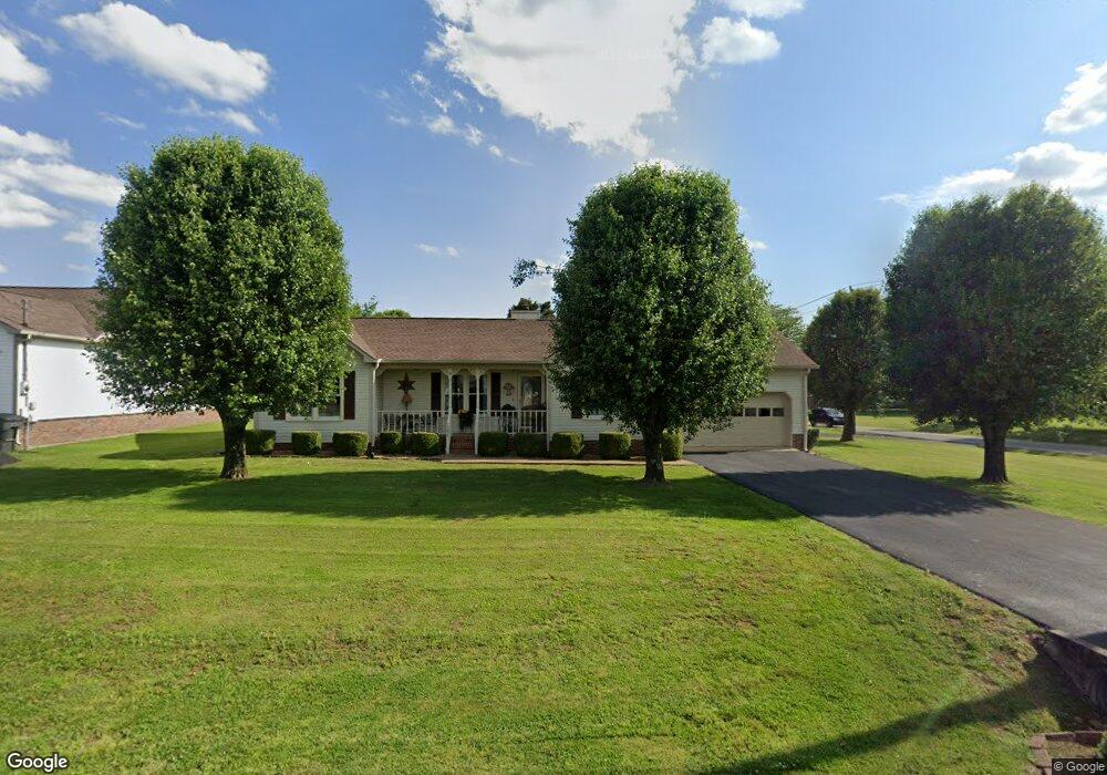
5029 Brookside Dr Columbia, TN 38401
Estimated Value: $316,154
--
Bed
2
Baths
1,320
Sq Ft
$240/Sq Ft
Est. Value
About This Home
This home is located at 5029 Brookside Dr, Columbia, TN 38401 and is currently priced at $316,154, approximately $239 per square foot. 5029 Brookside Dr is a home located in Maury County with nearby schools including J.E. Woodard Elementary School, Whitthorne Middle School, and Columbia Central High School.
Ownership History
Date
Name
Owned For
Owner Type
Purchase Details
Closed on
Apr 30, 1999
Sold by
Dickson Frances Pigg
Bought by
Berry Jeffery Stephen and Berry Frankie A
Current Estimated Value
Home Financials for this Owner
Home Financials are based on the most recent Mortgage that was taken out on this home.
Original Mortgage
$75,000
Interest Rate
7.06%
Purchase Details
Closed on
Apr 18, 1996
Sold by
Woodall Audrey
Bought by
Dickson Frances Pigg
Purchase Details
Closed on
Aug 31, 1995
Bought by
Woodall Audrey
Purchase Details
Closed on
Apr 28, 1989
Bought by
Vick Jerry W and Vick Norma R
Purchase Details
Closed on
Dec 15, 1988
Bought by
Clark Claude M and Clark Janey L
Purchase Details
Closed on
Dec 31, 1986
Bought by
Hairston Hairston F and Hairston Beth B
Create a Home Valuation Report for This Property
The Home Valuation Report is an in-depth analysis detailing your home's value as well as a comparison with similar homes in the area
Home Values in the Area
Average Home Value in this Area
Purchase History
| Date | Buyer | Sale Price | Title Company |
|---|---|---|---|
| Berry Jeffery Stephen | $100,000 | -- | |
| Dickson Frances Pigg | -- | -- | |
| Woodall Audrey | $89,900 | -- | |
| Vick Jerry W | $73,000 | -- | |
| Clark Claude M | -- | -- | |
| Hairston Hairston F | -- | -- |
Source: Public Records
Mortgage History
| Date | Status | Borrower | Loan Amount |
|---|---|---|---|
| Open | Hairston Hairston F | $15,000 | |
| Closed | Hairston Hairston F | $60,000 | |
| Closed | Berry Jeffery Stephen | $75,000 |
Source: Public Records
Tax History Compared to Growth
Tax History
| Year | Tax Paid | Tax Assessment Tax Assessment Total Assessment is a certain percentage of the fair market value that is determined by local assessors to be the total taxable value of land and additions on the property. | Land | Improvement |
|---|---|---|---|---|
| 2022 | $1,641 | $60,025 | $12,500 | $47,525 |
Source: Public Records
Map
Nearby Homes
- 3005 Westwood Dr
- 4007 Westwood Dr
- 6005 Cayce Ln
- 6009 Hays Dr
- 1701 Jamie Dr
- 1620 Baucom Dr
- 3006 Sheddan Dr
- 5013 Hays Dr
- 1612 Jamie Dr
- 5011 Hays Dr
- 2910 Brookside Dr
- 4002 Trotwood Ave
- 6152 Worthington Rd
- 6157 Worthington Rd
- 231 Overlook Place
- 4007 Hays Dr
- 6158 Worthington Rd
- 6161 Worthington Rd
- 6502 Ripple Ridge Ct
- 6509 Ripple Ridge Ct
- 5027 Brookside Dr
- 5012 Robinson Dr
- 5036 Brookside Dr
- 5010 Robinson Dr
- 5034 Brookside Dr
- 5008 Robinson Dr
- 6106 Cayce Ln
- 6101 Cayce Ln
- 5023 Brookside Dr
- 5032 Brookside Dr
- 5021 Brookside Dr
- 6016 Cayce Ln
- 6108 Cayce Ln
- 5006 Robinson Dr
- 5019 Brookside Dr
- 5030 Brookside Dr
- 5007 Robinson Dr
- 6017 Cayce Ln
- 6012 Worthington Rd
- 5017 Brookside Dr