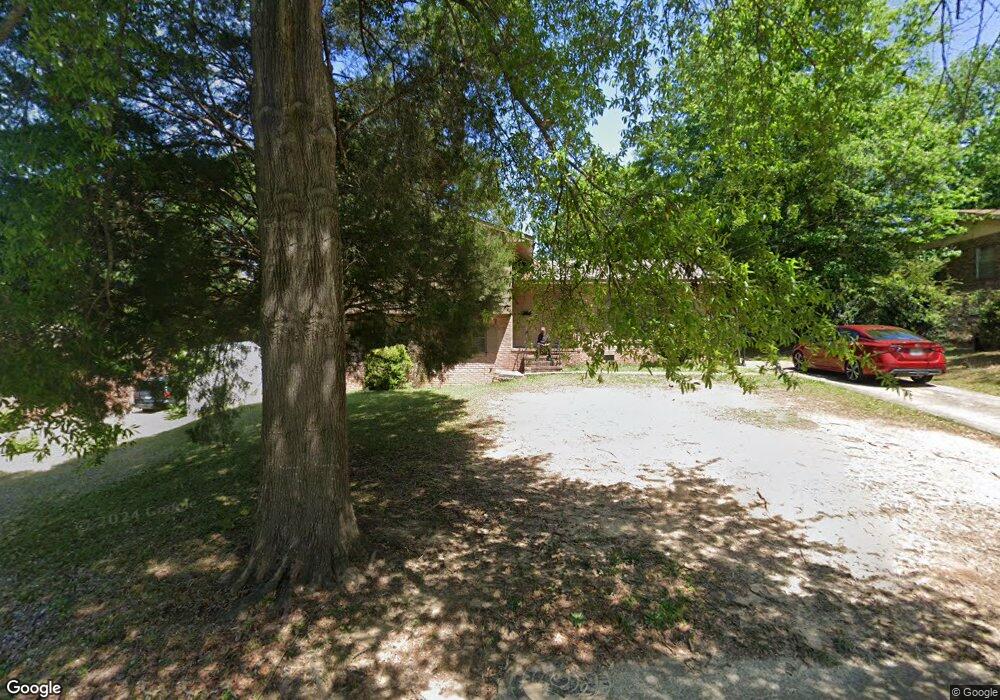
5029 Dodd Dr Columbus, GA 31907
Eastern Columbus NeighborhoodEstimated Value: $116,000 - $146,093
4
Beds
3
Baths
1,772
Sq Ft
$75/Sq Ft
Est. Value
About This Home
This home is located at 5029 Dodd Dr, Columbus, GA 31907 and is currently estimated at $132,364, approximately $74 per square foot. 5029 Dodd Dr is a home located in Muscogee County with nearby schools including Dawson Elementary School, Rothschild Leadership Academy, and Kendrick High School.
Ownership History
Date
Name
Owned For
Owner Type
Purchase Details
Closed on
Jan 26, 2018
Sold by
Federal National Mortgage Association
Bought by
Manor Lane Investments Llc
Current Estimated Value
Purchase Details
Closed on
Nov 7, 2017
Sold by
Ditech Financial Llc
Bought by
Federal National Mtg Associati
Create a Home Valuation Report for This Property
The Home Valuation Report is an in-depth analysis detailing your home's value as well as a comparison with similar homes in the area
Home Values in the Area
Average Home Value in this Area
Purchase History
| Date | Buyer | Sale Price | Title Company |
|---|---|---|---|
| Manor Lane Investments Llc | $40,000 | -- | |
| Federal National Mtg Associati | $52,500 | -- | |
| Ditech Financial Llc | $52,500 | -- |
Source: Public Records
Tax History Compared to Growth
Tax History
| Year | Tax Paid | Tax Assessment Tax Assessment Total Assessment is a certain percentage of the fair market value that is determined by local assessors to be the total taxable value of land and additions on the property. | Land | Improvement |
|---|---|---|---|---|
| 2025 | $1,851 | $47,288 | $6,332 | $40,956 |
| 2024 | $1,851 | $47,288 | $6,332 | $40,956 |
| 2023 | $1,863 | $47,288 | $6,332 | $40,956 |
| 2022 | $1,328 | $32,516 | $6,332 | $26,184 |
| 2021 | $928 | $22,732 | $6,332 | $16,400 |
| 2020 | $928 | $22,732 | $6,332 | $16,400 |
| 2019 | $656 | $16,000 | $3,560 | $12,440 |
| 2018 | $1,081 | $31,044 | $6,332 | $24,712 |
| 2017 | $72 | $31,528 | $6,332 | $25,196 |
| 2016 | $73 | $33,108 | $3,142 | $29,966 |
| 2015 | $75 | $33,108 | $3,142 | $29,966 |
| 2014 | $77 | $33,108 | $3,142 | $29,966 |
| 2013 | -- | $33,108 | $3,142 | $29,966 |
Source: Public Records
Map
Nearby Homes
- 5021 Shirley Ann Dr
- 5003 Shirley Ann Dr
- 4846 Maplewood Dr
- 100 R C Allen Dr
- 4801 Allen St
- 31 R C Allen Dr
- 4930 Capricorn Ct
- 59 Apollo Dr
- 418 Henson Ave
- 5235 Vincent Dr
- 4917 Brightstar Ln
- 300 Jefferson Dr
- 391 & 401 Victoria Dr
- 4516 Sims St
- 4534 Sentry St
- 4965 Brightstar Ln
- 4422 Pate Dr
- 4414 Curry St
- 4201 Valley Crest Dr
- 533 Englewood Dr