Estimated Value: $226,000 - $292,000
--
Bed
--
Bath
2,696
Sq Ft
$97/Sq Ft
Est. Value
About This Home
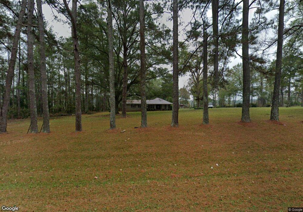
This home is located at 5029 Simpson Highway 28 W, Magee, MS 39111 and is currently estimated at $262,437, approximately $97 per square foot. 5029 Simpson Highway 28 W is a home with nearby schools including Magee Elementary School, Magee Middle School, and Magee High School.
Ownership History
Date
Name
Owned For
Owner Type
Purchase Details
Closed on
Nov 30, 2021
Sold by
Clifton Walker Jr Troy and Clifton Bridgett
Bought by
Warren Kenneth Luke and Jungles Morgan Nicole
Current Estimated Value
Home Financials for this Owner
Home Financials are based on the most recent Mortgage that was taken out on this home.
Original Mortgage
$286,711
Outstanding Balance
$263,628
Interest Rate
3.09%
Mortgage Type
FHA
Estimated Equity
-$1,191
Purchase Details
Closed on
Feb 15, 2008
Sold by
Walker Troy Clifton
Bought by
Wealker Troy Clifton and Walker Bridgett
Create a Home Valuation Report for This Property
The Home Valuation Report is an in-depth analysis detailing your home's value as well as a comparison with similar homes in the area
Home Values in the Area
Average Home Value in this Area
Purchase History
| Date | Buyer | Sale Price | Title Company |
|---|---|---|---|
| Warren Kenneth Luke | -- | Buffington Scott B | |
| Warren Kenneth Luke | -- | None Listed On Document | |
| Wealker Troy Clifton | -- | -- |
Source: Public Records
Mortgage History
| Date | Status | Borrower | Loan Amount |
|---|---|---|---|
| Open | Warren Kenneth Luke | $286,711 | |
| Closed | Warren Kenneth Luke | $286,711 |
Source: Public Records
Tax History Compared to Growth
Tax History
| Year | Tax Paid | Tax Assessment Tax Assessment Total Assessment is a certain percentage of the fair market value that is determined by local assessors to be the total taxable value of land and additions on the property. | Land | Improvement |
|---|---|---|---|---|
| 2024 | $1,524 | $16,036 | $0 | $0 |
| 2023 | $1,524 | $15,494 | $0 | $0 |
| 2022 | $1,408 | $15,497 | $0 | $0 |
| 2021 | $1,378 | $15,536 | $0 | $0 |
| 2020 | $1,272 | $14,557 | $0 | $0 |
| 2019 | $1,248 | $14,956 | $0 | $0 |
| 2018 | $1,249 | $14,961 | $0 | $0 |
| 2017 | $1,248 | $14,956 | $0 | $0 |
| 2016 | $755 | $10,597 | $0 | $0 |
| 2015 | $716 | $10,585 | $0 | $0 |
| 2014 | $716 | $10,576 | $0 | $0 |
Source: Public Records
Map
Nearby Homes
- 0 Pecan Grove Dr Unit 4116202
- 0 Highway 28 Hwy Unit 1287717
- 118 Sparks Dr
- 5219 Simpson Highway 28 W
- 1800 Simpson Highway 49
- 0 Airport Rd Unit 23277891
- 3530 Smith County Road 110
- 3575 Smith County Road 110
- 209 Dolly Ln
- 544 E Scr 503 B
- 00 8th Ave
- 00 Hwy 49 N @13th St Se and 149 N
- 0 Eighth Ave Unit 1261667
- 0 4th Ave SW
- 120 Anse Reed Rd
- 600 Goodwater Rd NW
- 212 2nd Ave SW
- 534 Simpson Highway 149
- 429 1st Ave SW
- 242 Siloam Rd
- 115 Blackberry Ln
- 4987 Simpson Highway 28 W
- 122 Highway 545
- 122 Highway 545
- 113 Sassafras Rd
- 1347 Highway 541 S
- 114 Highway 545
- 114 Highway 545
- 165 Coots Place Rd
- 117 Atwood Dr
- 0 Pecan Grove Dr Unit 4028596
- 0 Pecan Grove Rd Unit 191575
- 0 Pecan Grove Rd Unit 1191575
- 0 Pecan Grove Rd Unit 1253753
- 0 Simpson Hwy 545 Hwy Unit 190201
- 155 Highway 545
- 118 Grace Lewis Dr
- 4953 Simpson Highway 28 W
- 120 Billy Duckworth Dr
- 1297 Highway 541 S