503 Blair Rd Mount Airy, GA 30563
Estimated Value: $292,000 - $342,000
3
Beds
2
Baths
1,856
Sq Ft
$169/Sq Ft
Est. Value
About This Home
This home is located at 503 Blair Rd, Mount Airy, GA 30563 and is currently estimated at $313,188, approximately $168 per square foot. 503 Blair Rd is a home located in Habersham County with nearby schools including Demorest Elementary School, Habersham Success Academy, and Wilbanks Middle School.
Ownership History
Date
Name
Owned For
Owner Type
Purchase Details
Closed on
Jul 10, 2017
Sold by
Umbehant Betty Lou
Bought by
Olmstead Randal L and Olmstead Debra L
Current Estimated Value
Home Financials for this Owner
Home Financials are based on the most recent Mortgage that was taken out on this home.
Original Mortgage
$124,000
Outstanding Balance
$103,023
Interest Rate
3.89%
Mortgage Type
New Conventional
Estimated Equity
$210,165
Create a Home Valuation Report for This Property
The Home Valuation Report is an in-depth analysis detailing your home's value as well as a comparison with similar homes in the area
Home Values in the Area
Average Home Value in this Area
Purchase History
| Date | Buyer | Sale Price | Title Company |
|---|---|---|---|
| Olmstead Randal L | $156,000 | -- |
Source: Public Records
Mortgage History
| Date | Status | Borrower | Loan Amount |
|---|---|---|---|
| Open | Olmstead Randal L | $124,000 |
Source: Public Records
Tax History Compared to Growth
Tax History
| Year | Tax Paid | Tax Assessment Tax Assessment Total Assessment is a certain percentage of the fair market value that is determined by local assessors to be the total taxable value of land and additions on the property. | Land | Improvement |
|---|---|---|---|---|
| 2025 | $702 | $101,236 | $13,877 | $87,359 |
| 2024 | -- | $100,580 | $8,888 | $91,692 |
| 2023 | $504 | $84,728 | $8,888 | $75,840 |
| 2022 | $709 | $73,964 | $8,888 | $65,076 |
| 2021 | $1,365 | $66,076 | $7,844 | $58,232 |
| 2020 | $1,300 | $57,900 | $7,844 | $50,056 |
| 2019 | $1,559 | $57,900 | $7,844 | $50,056 |
| 2018 | $1,547 | $57,900 | $7,844 | $50,056 |
| 2017 | $444 | $44,564 | $5,752 | $38,812 |
| 2016 | $402 | $111,410 | $5,752 | $38,812 |
| 2015 | -- | $111,410 | $5,752 | $38,812 |
| 2014 | $383 | $109,090 | $5,752 | $37,884 |
| 2013 | -- | $43,636 | $5,752 | $37,884 |
Source: Public Records
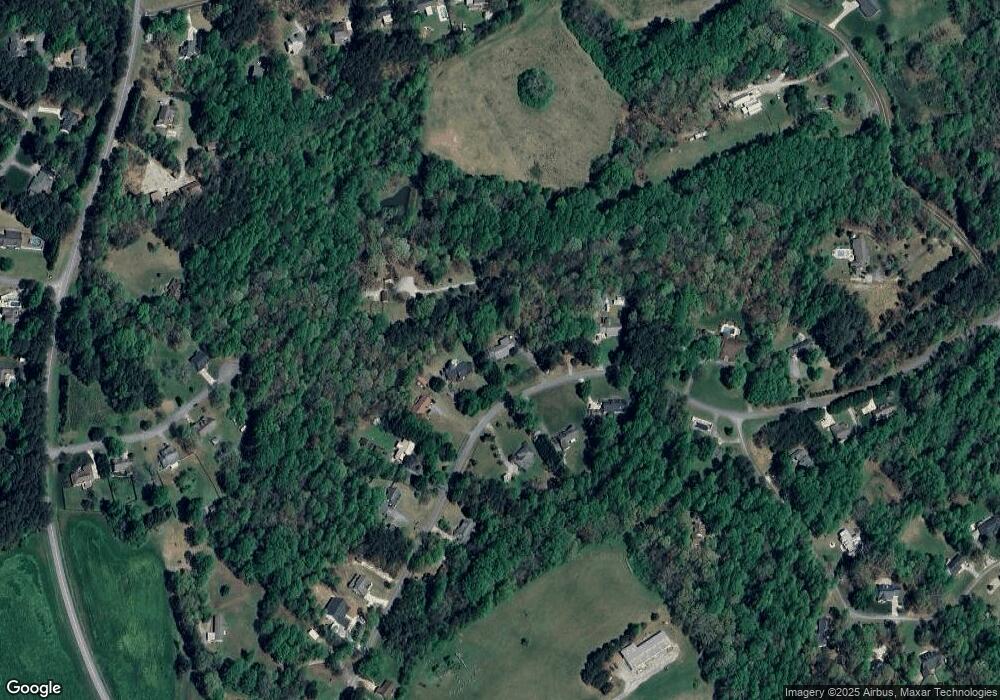
Map
Nearby Homes
- 0 Blair Rd Unit 10343806
- 408 Twinflower Dr
- 166 Towerview Cir
- 120 Beck Rd
- 199 Rocky Shoals Trail
- 203 Russell Woods Dr
- 310 Wilson Rd
- 432 Nancy Town Rd
- 380 Nancy Town Rd
- 110 Waterloo Dr
- 221 Mcallister Rd
- 272 Crepe Myrtle St
- 1576 Chase Rd
- 204 Linwood Dr
- 0 N Highway 365 Unit 10006830
- 209 Hazel Creek Rd
- 820 Camp Creek Rd
- 161 Wayward Winds Dr
- 309 Morning Star Ln
- 133 Hillandale St
- 467 Blair Rd
- 553 Blair Rd
- 461 Blair Rd
- 0 Deerfield Cir Unit 2 LOTS 2971084
- 0 Deerfield Cir Unit 2 LOTS
- 0 Deerfield Cir Unit 40 10268205
- 0 Deerfield Cir Unit 2 LOTS 7017803
- 0 Deerfield Cir Unit 8789775
- 0 Deerfield Cir Unit 7186482
- 0 Deerfield Cir Unit 8099441
- 0 Deerfield Cir Unit 8100867
- 0 Deerfield Cir Unit 8376889
- 0 Deerfield Cir Unit 8413309
- 530 Blair Rd
- 488 Blair Rd Unit 5
- 488 Blair Rd
- 466 Blair Rd
- 519 Blair Rd
- 453 Blair Rd
- 350 Blair Rd