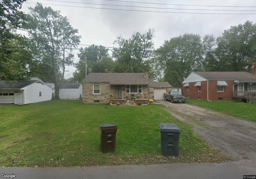
503 Cornell Dr Lima, OH 45805
Westgate NeighborhoodEstimated Value: $122,000 - $149,000
2
Beds
1
Bath
896
Sq Ft
$153/Sq Ft
Est. Value
About This Home
This home is located at 503 Cornell Dr, Lima, OH 45805 and is currently estimated at $137,274, approximately $153 per square foot. 503 Cornell Dr is a home located in Allen County with nearby schools including Heritage Elementary School, Lima West Middle School, and Lima North Middle School.
Ownership History
Date
Name
Owned For
Owner Type
Purchase Details
Closed on
May 23, 2002
Sold by
Reese Robert
Bought by
Hardin Russell J
Current Estimated Value
Home Financials for this Owner
Home Financials are based on the most recent Mortgage that was taken out on this home.
Original Mortgage
$20,000
Outstanding Balance
$8,528
Interest Rate
7.07%
Mortgage Type
New Conventional
Estimated Equity
$128,746
Purchase Details
Closed on
Jan 1, 1980
Bought by
Miller Agnes M
Create a Home Valuation Report for This Property
The Home Valuation Report is an in-depth analysis detailing your home's value as well as a comparison with similar homes in the area
Home Values in the Area
Average Home Value in this Area
Purchase History
| Date | Buyer | Sale Price | Title Company |
|---|---|---|---|
| Hardin Russell J | $60,000 | -- | |
| Miller Agnes M | -- | -- |
Source: Public Records
Mortgage History
| Date | Status | Borrower | Loan Amount |
|---|---|---|---|
| Open | Hardin Russell J | $20,000 |
Source: Public Records
Tax History
| Year | Tax Paid | Tax Assessment Tax Assessment Total Assessment is a certain percentage of the fair market value that is determined by local assessors to be the total taxable value of land and additions on the property. | Land | Improvement |
|---|---|---|---|---|
| 2024 | $1,256 | $33,710 | $8,050 | $25,660 |
| 2023 | $1,119 | $25,940 | $6,200 | $19,740 |
| 2022 | $1,125 | $25,940 | $6,200 | $19,740 |
| 2021 | $1,190 | $25,940 | $6,200 | $19,740 |
| 2020 | $1,152 | $22,230 | $5,920 | $16,310 |
| 2019 | $1,152 | $22,230 | $5,920 | $16,310 |
| 2018 | $1,143 | $22,230 | $5,920 | $16,310 |
| 2017 | $1,156 | $22,230 | $5,920 | $16,310 |
| 2016 | $1,166 | $22,230 | $5,920 | $16,310 |
| 2015 | $1,194 | $22,230 | $5,920 | $16,310 |
| 2014 | $1,196 | $22,550 | $5,850 | $16,700 |
| 2013 | $1,164 | $22,550 | $5,850 | $16,700 |
Source: Public Records
Map
Nearby Homes
- 705 Cornell Dr
- 1753 Leland Ave
- 3 Poulston Place
- 1918 Oakland Pkwy
- 275 N Dale Dr
- 2057 W High St
- 1716 Oakland Pkwy
- 2201 W High St
- 1607 W Wayne St
- 1600 Leland Ave
- 161 S Cable Rd
- 1541 Oakland Pkwy
- 1517 Allentown Rd
- 1508 Oakland Pkwy
- 102 Charwood Dr
- 1407 Latham Ave
- 1245 Latham Ave
- 1880 Wendell Ave
- 2700 Lowell Ave
- 308 S Judkins Ave
- 505 Cornell Dr
- 2106 University Blvd
- 507 Cornell Dr
- 2126 University Blvd
- 508 Columbia Dr
- 502 Columbia Dr
- 602 Cornell Dr
- 506 Columbia Dr
- 2064 University Blvd
- 608 Cornell Dr
- 2134 University Blvd
- 631 Cornell Dr
- 510 Columbia Dr
- 614 Cornell Dr
- 2101 University Blvd
- 2048 University Blvd
- 2121 University Blvd
Your Personal Tour Guide
Ask me questions while you tour the home.