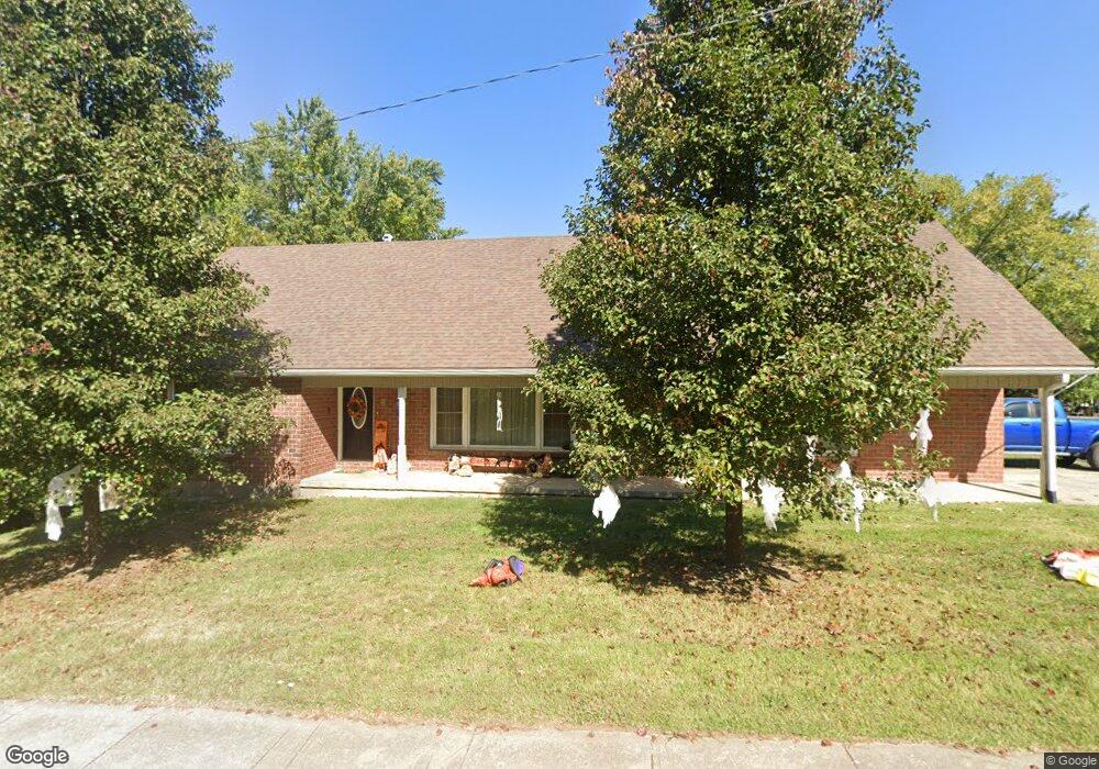
503 E Clark St Warrensburg, MO 64093
Estimated Value: $322,121 - $352,000
5
Beds
4
Baths
3,355
Sq Ft
$100/Sq Ft
Est. Value
About This Home
This home is located at 503 E Clark St, Warrensburg, MO 64093 and is currently estimated at $336,530, approximately $100 per square foot. 503 E Clark St is a home located in Johnson County with nearby schools including Maple Grove Elementary School, Martin Warren Elementary School, and Warrensburg Middle School.
Ownership History
Date
Name
Owned For
Owner Type
Purchase Details
Closed on
Jun 25, 2015
Sold by
Boling Dennis R and Boling Lisa R
Bought by
Gard Robert A and Gard Carolee D
Current Estimated Value
Home Financials for this Owner
Home Financials are based on the most recent Mortgage that was taken out on this home.
Original Mortgage
$162,011
Outstanding Balance
$124,042
Interest Rate
3.75%
Mortgage Type
FHA
Estimated Equity
$212,488
Purchase Details
Closed on
Sep 10, 2014
Sold by
Anderson Glen R
Bought by
Boling Dennis R and Boling Lisa R
Create a Home Valuation Report for This Property
The Home Valuation Report is an in-depth analysis detailing your home's value as well as a comparison with similar homes in the area
Home Values in the Area
Average Home Value in this Area
Purchase History
| Date | Buyer | Sale Price | Title Company |
|---|---|---|---|
| Gard Robert A | -- | Western Missouri Title Co | |
| Boling Dennis R | -- | Western Missouri Title Co |
Source: Public Records
Mortgage History
| Date | Status | Borrower | Loan Amount |
|---|---|---|---|
| Open | Gard Robert A | $162,011 |
Source: Public Records
Tax History
| Year | Tax Paid | Tax Assessment Tax Assessment Total Assessment is a certain percentage of the fair market value that is determined by local assessors to be the total taxable value of land and additions on the property. | Land | Improvement |
|---|---|---|---|---|
| 2025 | $2,404 | $32,035 | $0 | $0 |
| 2024 | $2,247 | $29,422 | $0 | $0 |
| 2023 | $2,247 | $29,422 | $0 | $0 |
| 2022 | $2,164 | $28,219 | $0 | $0 |
| 2021 | $2,157 | $28,219 | $0 | $0 |
| 2020 | $2,087 | $27,011 | $0 | $0 |
| 2019 | $2,086 | $27,011 | $0 | $0 |
| 2017 | $2,081 | $27,011 | $0 | $0 |
| 2016 | $1,918 | $27,011 | $0 | $0 |
| 2015 | $1,969 | $27,011 | $0 | $0 |
| 2014 | -- | $27,011 | $0 | $0 |
Source: Public Records
Map
Nearby Homes
- 612 Christopher St
- 607 Christopher St
- 414 Franklin St
- 611 S Maguire St
- 311 Franklin Ave
- 713 Tyler Ave
- 530 Hamilton St
- 323 Hamilton St
- 1008 Anderson St
- 602 Grover St
- 701 A B C Broad St
- 221 Broad St
- 903 E Clark St
- 813 S Maguire St
- 428 Swallow N A
- 503 Quail Trail
- 432 E Market St
- 103 N Mitchell St
- 449 E Market St
- 300 9th St
Your Personal Tour Guide
Ask me questions while you tour the home.