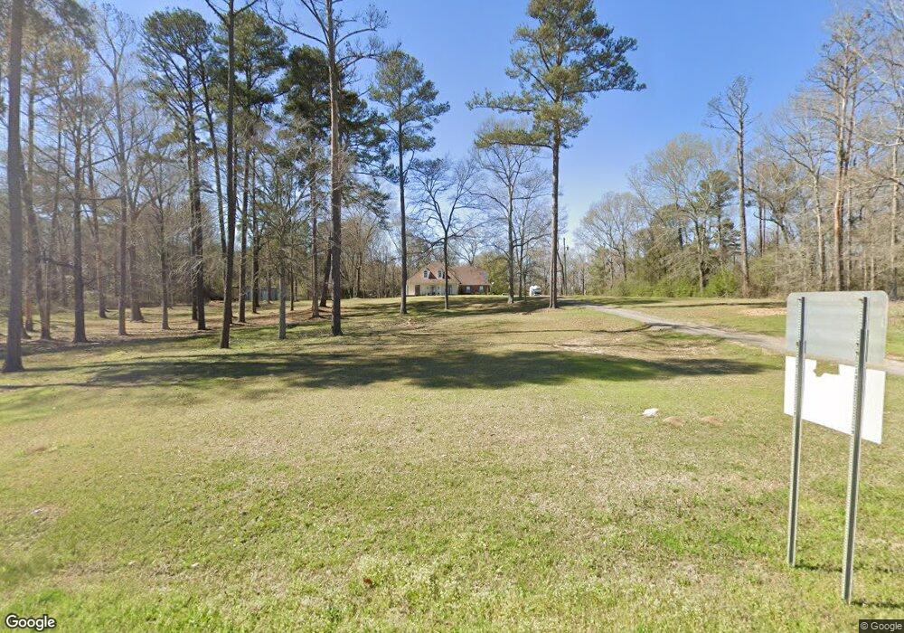
503 Highway 13 S Mendenhall, MS 39114
Estimated Value: $268,000 - $642,000
4
Beds
4
Baths
2,400
Sq Ft
$189/Sq Ft
Est. Value
About This Home
This home is located at 503 Highway 13 S, Mendenhall, MS 39114 and is currently estimated at $453,005, approximately $188 per square foot. 503 Highway 13 S is a home located in Rankin County with nearby schools including Puckett Elementary School and Puckett High School.
Ownership History
Date
Name
Owned For
Owner Type
Purchase Details
Closed on
Dec 22, 2020
Sold by
Williams James M
Bought by
Dukes Carter and Dukes Nancy
Current Estimated Value
Purchase Details
Closed on
Mar 17, 2011
Sold by
David N David N and Cole Dana
Bought by
Williams James M and Williams Mary A
Home Financials for this Owner
Home Financials are based on the most recent Mortgage that was taken out on this home.
Original Mortgage
$278,350
Interest Rate
4.95%
Mortgage Type
Purchase Money Mortgage
Create a Home Valuation Report for This Property
The Home Valuation Report is an in-depth analysis detailing your home's value as well as a comparison with similar homes in the area
Home Values in the Area
Average Home Value in this Area
Purchase History
| Date | Buyer | Sale Price | Title Company |
|---|---|---|---|
| Dukes Carter | -- | None Listed On Document | |
| Williams James M | -- | -- |
Source: Public Records
Mortgage History
| Date | Status | Borrower | Loan Amount |
|---|---|---|---|
| Previous Owner | Williams James M | $278,350 |
Source: Public Records
Tax History Compared to Growth
Tax History
| Year | Tax Paid | Tax Assessment Tax Assessment Total Assessment is a certain percentage of the fair market value that is determined by local assessors to be the total taxable value of land and additions on the property. | Land | Improvement |
|---|---|---|---|---|
| 2024 | $2,030 | $23,604 | $0 | $0 |
| 2023 | $1,968 | $22,971 | $0 | $0 |
| 2022 | $1,935 | $22,982 | $0 | $0 |
| 2021 | $1,911 | $22,742 | $0 | $0 |
| 2020 | $1,912 | $22,753 | $0 | $0 |
| 2019 | $1,850 | $21,508 | $0 | $0 |
| 2018 | $1,808 | $21,508 | $0 | $0 |
| 2017 | $1,807 | $21,494 | $0 | $0 |
| 2016 | $1,662 | $21,089 | $0 | $0 |
| 2015 | $1,659 | $21,060 | $0 | $0 |
| 2014 | $1,612 | $21,035 | $0 | $0 |
| 2013 | -- | $21,018 | $0 | $0 |
Source: Public Records
Map
Nearby Homes
- 0 County Line Rd Unit 4123067
- 410 Cole Rd
- 0 Brandon - Williamsburg Rd Unit 143043
- 0 Brandon - Williamsburg Rd
- 797 County Line Rd
- 0 Everett Church Rd
- 255 Everett Church Rd
- 127 Ole Magnolia Dr
- 128 Rock Pisgah Rd
- 274 Everett Church Rd
- 250 Everett Church Rd
- 250 - 274 Everett Church Rd
- 429 Rose Hill Rd
- 113 Williamson Ln
- 825 Poplar Springs Rd
- 329 County Line Rd
- 0 Poplar Springs Rd Unit 11538171
- 0 Layton Jones Rd
- 0 Campbell Creek Rd
- 860a Oil Well Rd
- 503 Highway 13 S
- 4401 Simpson Highway 13
- 501 Mississippi 13
- 0 County Line Rd Unit 228377
- 0 County Line Rd Unit 1140396
- 0 County Line Rd Unit 1228377
- 0 County Line Rd Unit 4004536
- 501 Highway 13
- 1205 County Line Rd
- 575 Highway 13 S
- 580 Highway 13 S
- 583 Highway 13 S
- 560 Highway 13 S
- 1300 County Line Rd
- 601 Highway 13 S
- 601 Mississippi 13
- 1204 County Line Rd
- 4361 Simpson Highway 13
- 165 Earl Burkes Rd
- 4334 Simpson Highway 13