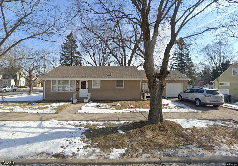
503 Illinois Ave Elgin, IL 60120
Southeast Elgin NeighborhoodEstimated Value: $237,000 - $273,000
3
Beds
1
Bath
1,148
Sq Ft
$221/Sq Ft
Est. Value
About This Home
This home is located at 503 Illinois Ave, Elgin, IL 60120 and is currently estimated at $253,578, approximately $220 per square foot. 503 Illinois Ave is a home located in Kane County with nearby schools including Huff Elementary School, Ellis Middle School, and Elgin High School.
Ownership History
Date
Name
Owned For
Owner Type
Purchase Details
Closed on
Mar 20, 2008
Sold by
Lake Richard A
Bought by
Rivera Kelly and Boehm Emil A
Current Estimated Value
Home Financials for this Owner
Home Financials are based on the most recent Mortgage that was taken out on this home.
Original Mortgage
$160,000
Outstanding Balance
$99,678
Interest Rate
5.74%
Mortgage Type
Purchase Money Mortgage
Estimated Equity
$153,900
Purchase Details
Closed on
May 17, 2005
Sold by
Lake Clarence F and Lake Mary I
Bought by
Lake Clarence F and Lake Mary I
Create a Home Valuation Report for This Property
The Home Valuation Report is an in-depth analysis detailing your home's value as well as a comparison with similar homes in the area
Home Values in the Area
Average Home Value in this Area
Purchase History
| Date | Buyer | Sale Price | Title Company |
|---|---|---|---|
| Rivera Kelly | $160,000 | Chicago Title Insurance Co | |
| Lake Clarence F | -- | -- |
Source: Public Records
Mortgage History
| Date | Status | Borrower | Loan Amount |
|---|---|---|---|
| Open | Rivera Kelly | $160,000 |
Source: Public Records
Tax History
| Year | Tax Paid | Tax Assessment Tax Assessment Total Assessment is a certain percentage of the fair market value that is determined by local assessors to be the total taxable value of land and additions on the property. | Land | Improvement |
|---|---|---|---|---|
| 2024 | $4,876 | $68,929 | $14,772 | $54,157 |
| 2023 | $4,626 | $62,272 | $13,345 | $48,927 |
| 2022 | $4,403 | $56,781 | $12,168 | $44,613 |
| 2021 | $4,201 | $53,086 | $11,376 | $41,710 |
| 2020 | $3,902 | $48,783 | $10,860 | $37,923 |
| 2019 | $3,780 | $46,469 | $10,345 | $36,124 |
| 2018 | $3,320 | $39,581 | $9,746 | $29,835 |
| 2017 | $3,231 | $37,418 | $9,213 | $28,205 |
| 2016 | $3,062 | $34,714 | $8,547 | $26,167 |
| 2015 | -- | $31,818 | $7,834 | $23,984 |
| 2014 | -- | $31,425 | $7,737 | $23,688 |
| 2013 | -- | $36,545 | $7,941 | $28,604 |
Source: Public Records
Map
Nearby Homes
- 408 Bowen Ct
- 518 Raymond St
- 483 Barrett St
- 711 Bluff City Blvd
- 286 Villa St
- 277 Gifford Place
- 383 Woodview Cir Unit C
- 462 Ashland Ave
- 133 Oak St
- 75 Willard Ave Unit 4
- 1020 Wynnfield Ct Unit D
- 832 Bode Rd
- 356 Woodview Cir Unit A
- 489 Division St
- 162 Festival Ct
- 7 National St Unit 7
- 3 National St Unit 3
- 1061 Houston Ave
- 408 E Chicago St
- 211 Prairie St
Your Personal Tour Guide
Ask me questions while you tour the home.