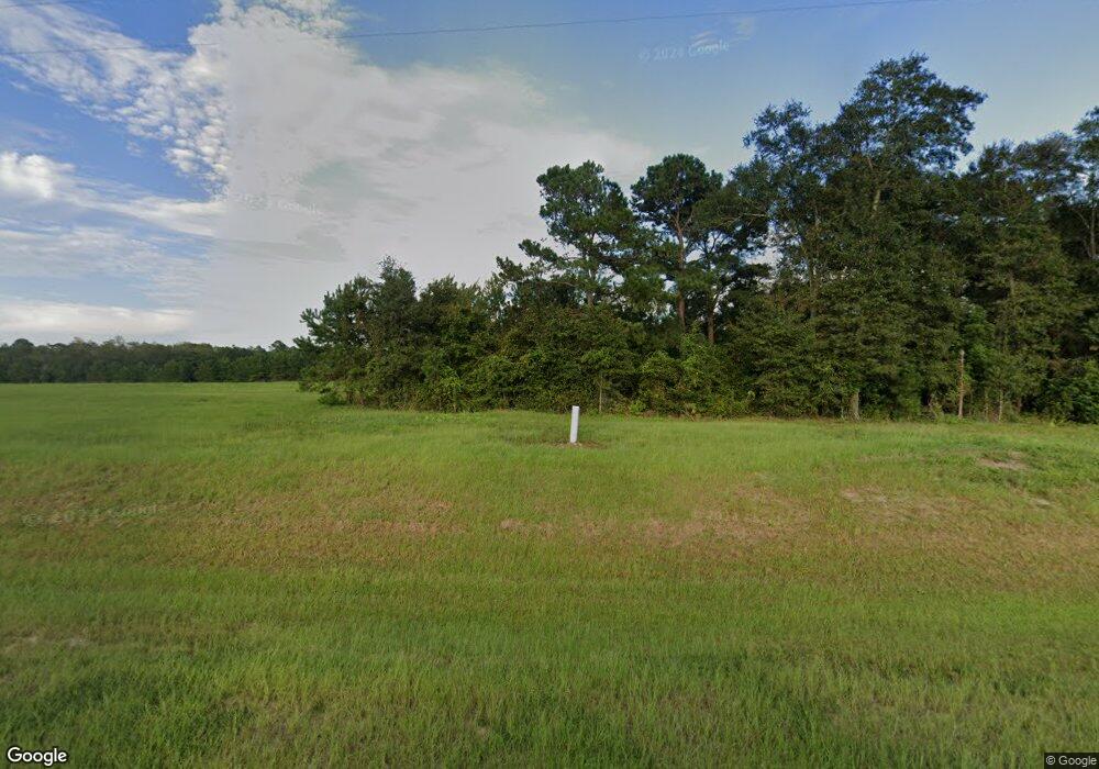
503 Johnson Cemetery Rd Quitman, GA 31643
Estimated Value: $335,000
--
Bed
2
Baths
1,644
Sq Ft
$204/Sq Ft
Est. Value
About This Home
This home is located at 503 Johnson Cemetery Rd, Quitman, GA 31643 and is currently priced at $335,000, approximately $203 per square foot. 503 Johnson Cemetery Rd is a home located in Brooks County with nearby schools including Quitman Elementary School.
Ownership History
Date
Name
Owned For
Owner Type
Purchase Details
Closed on
Nov 27, 2007
Bought by
Release Of Conservation Use Covenant
Current Estimated Value
Purchase Details
Closed on
Oct 15, 2007
Sold by
Mcgriff Farm Inc
Bought by
Sims Enterprises Ltd
Purchase Details
Closed on
Oct 11, 2007
Bought by
Affidavit Of Title Facts
Purchase Details
Closed on
Jun 14, 2006
Sold by
Jones George Lawrence
Bought by
Sims Enterprises Ltd
Purchase Details
Closed on
Dec 15, 1987
Sold by
Mcgriff W A
Bought by
Mcgriff Farm Inc
Purchase Details
Closed on
Apr 3, 1987
Sold by
First Federal S&L Of Valdosta
Bought by
Mcgriff W A
Purchase Details
Closed on
Jul 10, 1986
Sold by
Land Group Inc
Bought by
First Federal S&L Of Valdosta
Purchase Details
Closed on
Jun 17, 1985
Sold by
Barber Loyd
Bought by
Land Group Inc
Create a Home Valuation Report for This Property
The Home Valuation Report is an in-depth analysis detailing your home's value as well as a comparison with similar homes in the area
Home Values in the Area
Average Home Value in this Area
Purchase History
| Date | Buyer | Sale Price | Title Company |
|---|---|---|---|
| Release Of Conservation Use Covenant | -- | -- | |
| Sims Enterprises Ltd | $4,012,200 | -- | |
| Affidavit Of Title Facts | -- | -- | |
| Sims Enterprises Ltd | $300,000 | -- | |
| Mcgriff Farm Inc | -- | -- | |
| Mcgriff W A | $130,000 | -- | |
| First Federal S&L Of Valdosta | $145,000 | -- | |
| Land Group Inc | -- | -- |
Source: Public Records
Tax History Compared to Growth
Tax History
| Year | Tax Paid | Tax Assessment Tax Assessment Total Assessment is a certain percentage of the fair market value that is determined by local assessors to be the total taxable value of land and additions on the property. | Land | Improvement |
|---|---|---|---|---|
| 2021 | $5,002 | $180,092 | $156,320 | $23,772 |
| 2020 | $5,059 | $182,172 | $157,920 | $24,252 |
| 2019 | $5,979 | $204,732 | $181,480 | $23,252 |
| 2018 | $6,290 | $215,372 | $192,120 | $23,252 |
| 2017 | $6,223 | $214,612 | $192,120 | $22,492 |
| 2016 | $6,238 | $215,132 | $192,120 | $23,012 |
| 2015 | -- | $215,052 | $192,120 | $22,932 |
| 2014 | -- | $236,404 | $201,440 | $34,964 |
| 2013 | -- | $236,404 | $201,440 | $34,964 |
Source: Public Records
Map
Nearby Homes
- 981 NW Radford Denson Rd
- 916 NW Brooks County Line Rd
- 1706 NW Radford Denson Rd
- NW Hawks Ave
- 1259 NW Hawk's Ave Ave
- 0000 Hamlin Rd
- 901 Knights Ferry Rd
- TBD NW Hawks Ave
- NW Hawks Ave
- NW Co Rd 253
- 0 NW Co Road 253 Unit Lot 1 386791
- 0 NW Co Road 253 Unit 386513
- 7747 Empress Rd
- 3978 Quitman Hwy S
- 0 James Noble Rd
- 489 Ashville Highlands Dr
- 10283 Ashville Hwy
- 8820 Grooverville Rd
- 70 E 2nd Way
- tbd E 2nd Way
