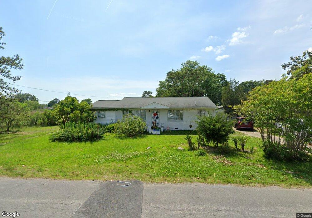
503 N Fifth St Hampton, VA 23664
Buckroe Beach NeighborhoodEstimated Value: $234,000 - $258,000
3
Beds
1
Bath
1,464
Sq Ft
$168/Sq Ft
Est. Value
About This Home
This home is located at 503 N Fifth St, Hampton, VA 23664 and is currently estimated at $246,595, approximately $168 per square foot. 503 N Fifth St is a home located in Hampton City with nearby schools including Francis Asbury Elementary School, Benjamin Syms Middle School, and Phoebus High School.
Ownership History
Date
Name
Owned For
Owner Type
Purchase Details
Closed on
Jul 19, 2007
Sold by
Burris Bobby L
Bought by
Walker Martha R
Current Estimated Value
Home Financials for this Owner
Home Financials are based on the most recent Mortgage that was taken out on this home.
Original Mortgage
$141,000
Outstanding Balance
$89,410
Interest Rate
6.78%
Mortgage Type
New Conventional
Estimated Equity
$157,185
Purchase Details
Closed on
Apr 19, 2004
Sold by
Allen David R
Bought by
Burris Bobby L
Create a Home Valuation Report for This Property
The Home Valuation Report is an in-depth analysis detailing your home's value as well as a comparison with similar homes in the area
Home Values in the Area
Average Home Value in this Area
Purchase History
| Date | Buyer | Sale Price | Title Company |
|---|---|---|---|
| Walker Martha R | $162,000 | -- | |
| Burris Bobby L | $40,000 | -- |
Source: Public Records
Mortgage History
| Date | Status | Borrower | Loan Amount |
|---|---|---|---|
| Open | Walker Martha R | $141,000 |
Source: Public Records
Tax History
| Year | Tax Paid | Tax Assessment Tax Assessment Total Assessment is a certain percentage of the fair market value that is determined by local assessors to be the total taxable value of land and additions on the property. | Land | Improvement |
|---|---|---|---|---|
| 2025 | $2,452 | $211,400 | $55,000 | $156,400 |
| 2024 | $2,198 | $191,100 | $55,000 | $136,100 |
| 2023 | $2,064 | $177,900 | $50,000 | $127,900 |
| 2022 | $1,913 | $162,100 | $42,000 | $120,100 |
| 2021 | $1,887 | $141,700 | $35,000 | $106,700 |
| 2020 | $1,710 | $137,900 | $35,000 | $102,900 |
| 2019 | $1,710 | $137,900 | $35,000 | $102,900 |
| 2018 | $1,773 | $138,000 | $22,100 | $115,900 |
| 2017 | $1,805 | $0 | $0 | $0 |
| 2016 | $1,805 | $138,000 | $0 | $0 |
| 2015 | $1,805 | $0 | $0 | $0 |
| 2014 | $1,795 | $138,000 | $22,100 | $115,900 |
Source: Public Records
Map
Nearby Homes
- 231 N Fifth St
- 417 Hunlac Ave
- 205 Benthall Rd
- 403 Benthall Rd
- 417 N Second St
- 309 Benthall Rd
- 307 N First St
- 1642 Old Buckroe Rd
- 1640 Old Buckroe Rd
- 235 N First St Unit 201
- 5 Easthill Ct
- 2013 N Mallory St
- 231 Benthall Rd
- 334 N First St Unit 18
- 334 N First St
- 1040 Porte Harbour Arch
- 1 Easthill Ct
- 117 Tappan Ave
- 1030 Porte Harbour Arch
- 214 N First St
- 499 N Fifth St
- 501 Rogers Ave
- 503 Rogers Ave
- 399 N Fifth St
- 451 Benthall Rd
- 398 N Fifth St
- 505 Rogers Ave
- 451 Rogers Ave
- 449 Benthall Rd
- 446 Benthall Rd
- 447 Benthall Rd
- 449 Rogers Ave
- 507 Rogers Ave
- 701 N Fifth St
- 445 Benthall Rd
- 701 N 5th St
- 504 Rogers Ave
- 442 Benthall Rd
- 506 Rogers Ave
- 445 Rogers Ave