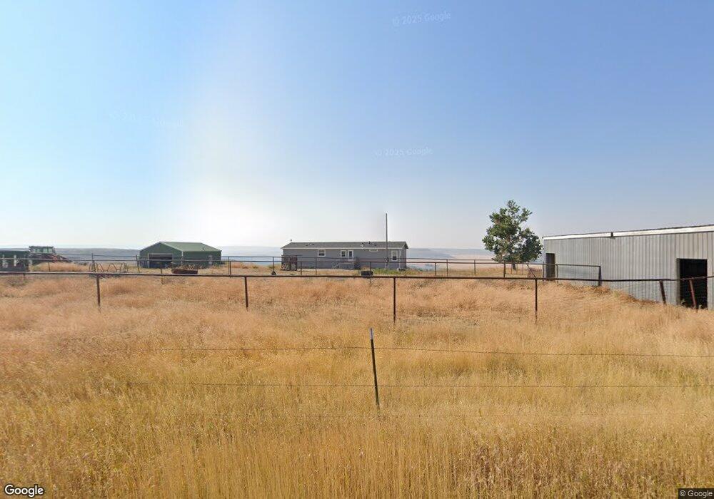
5030 71st Ave SW Great Falls, MT 59404
Estimated Value: $474,000 - $533,000
4
Beds
3
Baths
1,876
Sq Ft
$264/Sq Ft
Est. Value
About This Home
This home is located at 5030 71st Ave SW, Great Falls, MT 59404 and is currently estimated at $495,265, approximately $264 per square foot. 5030 71st Ave SW is a home located in Cascade County with nearby schools including West Elementary School, North Middle School, and C.M. Russell High School.
Ownership History
Date
Name
Owned For
Owner Type
Purchase Details
Closed on
Dec 18, 2023
Sold by
Northwest Farm Cr Svcs Flca
Bought by
Phoenix Cap Group Holdings Llc
Current Estimated Value
Purchase Details
Closed on
May 21, 2021
Sold by
Thompson Katrina and Brewer Katrina
Bought by
Mcculloch Kelly
Home Financials for this Owner
Home Financials are based on the most recent Mortgage that was taken out on this home.
Original Mortgage
$280,250
Interest Rate
2.9%
Mortgage Type
New Conventional
Create a Home Valuation Report for This Property
The Home Valuation Report is an in-depth analysis detailing your home's value as well as a comparison with similar homes in the area
Purchase History
| Date | Buyer | Sale Price | Title Company |
|---|---|---|---|
| Phoenix Cap Group Holdings Llc | -- | None Listed On Document | |
| Mcculloch Kelly | -- | First American Title Company |
Source: Public Records
Mortgage History
| Date | Status | Borrower | Loan Amount |
|---|---|---|---|
| Previous Owner | Mcculloch Kelly | $280,250 |
Source: Public Records
Tax History
| Year | Tax Paid | Tax Assessment Tax Assessment Total Assessment is a certain percentage of the fair market value that is determined by local assessors to be the total taxable value of land and additions on the property. | Land | Improvement |
|---|---|---|---|---|
| 2025 | $1,412 | $231,674 | $0 | $0 |
| 2024 | $1,889 | $216,137 | $0 | $0 |
| 2023 | $1,831 | $216,137 | $0 | $0 |
| 2022 | $1,689 | $179,222 | $0 | $0 |
| 2021 | $1,496 | $174,412 | $0 | $0 |
| 2020 | $1,884 | $195,749 | $0 | $0 |
| 2019 | $1,791 | $195,749 | $0 | $0 |
| 2018 | $1,775 | $189,614 | $0 | $0 |
| 2017 | $1,715 | $189,614 | $0 | $0 |
| 2016 | $1,538 | $183,686 | $0 | $0 |
| 2015 | $1,382 | $183,686 | $0 | $0 |
| 2014 | $1,394 | $84,168 | $0 | $0 |
Source: Public Records
Map
Nearby Homes
- 88 Marmot Ln
- 14 Spring Ridge Dr
- 3930 Tri Hill Frontage Rd
- 202 Woodland Estates Rd
- 2216 Larkspur Ln
- TBD 47th Ave SW
- 174 Woodland Estates Rd
- 20 Higgins Ln
- 152 Russell Ranch Ln
- 84 Tumbleweed Ln
- 3404 Jasper Rd
- 6301 Fox Farm Rd
- 17 Grandview Ct
- Exit 277 Old Airport Rd
- 3407 Huckleberry Dr
- 2814 Huckleberry Dr
- 1325 Delea Dr
- 2807 Huckleberry Dr
- LOT 3 Hamilton Place
- 19 Sagebrush Rd
- 7001 53rd St SW
- 5320 71st Ave SW
- 5400 71st Ave SW
- 55 Marmot Ln
- 7000 53rd St SW
- 53rd St SW
- 7016 47th St SW
- 35 Marmot Ln
- 7100 53rd St SW
- 6701 53rd St SW
- 7008 47th St SW
- 6800 53rd St SW
- TBD 53rd St SW
- 0 53rd St SW
- NHN 53rd St Sw Great Falls
- 6800 47th St SW
- 7001 47th St SW
- 6601 53rd St SW
- 5520 71st Ave SW
- NHN 53rd St SW
Your Personal Tour Guide
Ask me questions while you tour the home.