5030 SW 77th St Wakarusa, KS 66546
Estimated Value: $354,515 - $578,000
3
Beds
2
Baths
2,285
Sq Ft
$186/Sq Ft
Est. Value
About This Home
This home is located at 5030 SW 77th St, Wakarusa, KS 66546 and is currently estimated at $425,129, approximately $186 per square foot. 5030 SW 77th St is a home located in Shawnee County with nearby schools including Auburn Elementary School, Washburn Rural Middle School, and Washburn Rural High School.
Ownership History
Date
Name
Owned For
Owner Type
Purchase Details
Closed on
Jun 21, 2012
Sold by
Kelly Kenneth W and Kelly Mary E
Bought by
Kelly Kenneth W
Current Estimated Value
Home Financials for this Owner
Home Financials are based on the most recent Mortgage that was taken out on this home.
Original Mortgage
$163,000
Interest Rate
3.81%
Mortgage Type
New Conventional
Create a Home Valuation Report for This Property
The Home Valuation Report is an in-depth analysis detailing your home's value as well as a comparison with similar homes in the area
Home Values in the Area
Average Home Value in this Area
Purchase History
| Date | Buyer | Sale Price | Title Company |
|---|---|---|---|
| Kelly Kenneth W | -- | None Available |
Source: Public Records
Mortgage History
| Date | Status | Borrower | Loan Amount |
|---|---|---|---|
| Closed | Kelly Kenneth W | $163,000 |
Source: Public Records
Tax History Compared to Growth
Tax History
| Year | Tax Paid | Tax Assessment Tax Assessment Total Assessment is a certain percentage of the fair market value that is determined by local assessors to be the total taxable value of land and additions on the property. | Land | Improvement |
|---|---|---|---|---|
| 2025 | $5,299 | $38,777 | -- | -- |
| 2023 | $5,299 | $35,925 | $0 | $0 |
| 2022 | $4,522 | $31,932 | $0 | $0 |
| 2021 | $3,943 | $28,591 | $0 | $0 |
| 2020 | $3,728 | $27,509 | $0 | $0 |
| 2019 | $3,610 | $26,613 | $0 | $0 |
| 2018 | $3,457 | $25,571 | $0 | $0 |
| 2017 | $3,427 | $25,025 | $0 | $0 |
| 2014 | $3,347 | $24,383 | $0 | $0 |
Source: Public Records
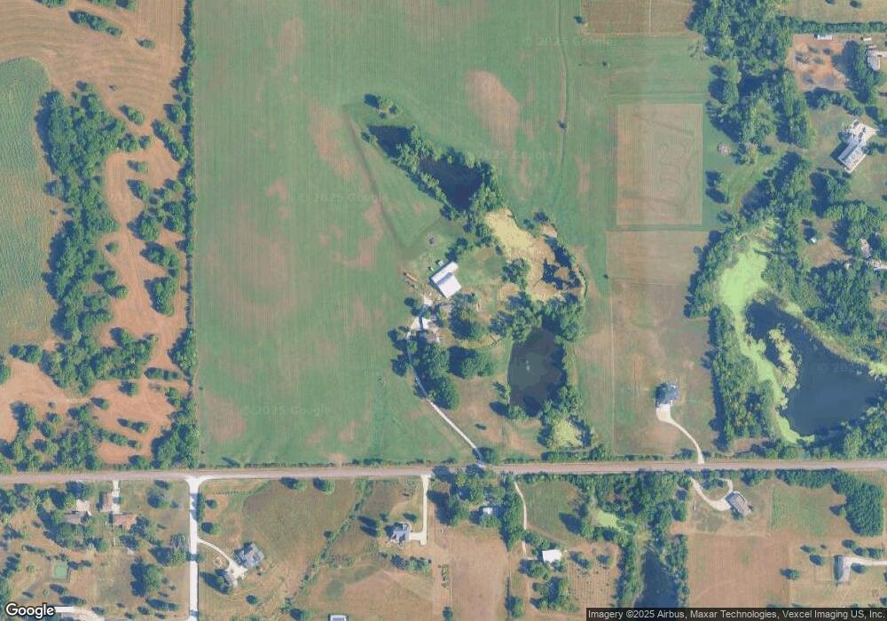
Map
Nearby Homes
- 0 SW Burlingame Rd
- 5720 SW 93rd St
- 7130 SW Lario Ln
- 00 SW 85th St
- 5614 SW Fairlawn Rd
- 5515 SW Mission Ave
- 5726 SW 55th St
- 4498 SW Moundview Dr
- XXXX SW Moundview Dr
- 0000 SW Lincolnshire Cir
- 6413 SW Bayshore Dr
- 7325 SW 93rd St
- 9534 SW Topeka Blvd
- 4612 SW Shenandoah Rd
- 0 SE Adams St
- 3313 SW 46th St
- 6319 SW 46th Park
- 6326 SW 46th Park
- 6322 SW 46th Park
- 6334 SW 46th Park
- 4940 SW 77th St
- 5021 SW 77th St
- 5041 SW 77th St
- 7722 SW Fairlawn Rd
- 7818 SW Fairlawn Rd
- 4921 SW 77th St
- 5231 SW 77th St
- 7826 SW Fairlawn Rd
- 5251 SW 77th St
- 7830 SW Fairlawn Rd
- 7749 SW Fairlawn Rd
- 7743 SW Burlingame Rd
- 7821 SW Fairlawn Rd
- 7832 SW Fairlawn Rd
- 7801 SW Burlingame Rd
- 5321 SW 77th St
- 7734 SW Burlingame Rd
- 7730 SW Burlingame Rd
- 7807 SW Burlingame Rd
- 7529 SW Burlingame Rd