50301 230th Ln Lake Crystal, MN 56055
Estimated Value: $305,000 - $658,000
4
Beds
2
Baths
1,827
Sq Ft
$285/Sq Ft
Est. Value
About This Home
This home is located at 50301 230th Ln, Lake Crystal, MN 56055 and is currently estimated at $521,252, approximately $285 per square foot. 50301 230th Ln is a home located in Blue Earth County with nearby schools including Lake Crystal Wellcome Memorial Elementary School and Lake Crystal Wellcome Memorial Secondary School.
Ownership History
Date
Name
Owned For
Owner Type
Purchase Details
Closed on
Jan 3, 2025
Sold by
Margaret A Jones Trust and Jones Margaret A
Bought by
Alms Gretchen and Anderson Alex
Current Estimated Value
Home Financials for this Owner
Home Financials are based on the most recent Mortgage that was taken out on this home.
Original Mortgage
$500,000
Outstanding Balance
$442,568
Interest Rate
6.69%
Mortgage Type
New Conventional
Estimated Equity
$78,684
Purchase Details
Closed on
Nov 17, 2008
Sold by
Jones Eldon D and Jones Helen C
Bought by
Jones Margaret A
Create a Home Valuation Report for This Property
The Home Valuation Report is an in-depth analysis detailing your home's value as well as a comparison with similar homes in the area
Home Values in the Area
Average Home Value in this Area
Purchase History
| Date | Buyer | Sale Price | Title Company |
|---|---|---|---|
| Alms Gretchen | $250,000 | Near North Title | |
| Jones Margaret A | $90,000 | -- |
Source: Public Records
Mortgage History
| Date | Status | Borrower | Loan Amount |
|---|---|---|---|
| Open | Alms Gretchen | $500,000 |
Source: Public Records
Tax History Compared to Growth
Tax History
| Year | Tax Paid | Tax Assessment Tax Assessment Total Assessment is a certain percentage of the fair market value that is determined by local assessors to be the total taxable value of land and additions on the property. | Land | Improvement |
|---|---|---|---|---|
| 2025 | $4,118 | $557,400 | $89,000 | $468,400 |
| 2024 | $4,118 | $536,900 | $89,000 | $447,900 |
| 2023 | $4,300 | $549,600 | $89,000 | $460,600 |
| 2022 | $3,970 | $541,500 | $89,000 | $452,500 |
| 2021 | $3,506 | $442,300 | $89,000 | $353,300 |
| 2020 | $3,318 | $377,600 | $59,400 | $318,200 |
| 2019 | $2,980 | $377,600 | $59,400 | $318,200 |
| 2018 | $2,750 | $343,300 | $59,300 | $284,000 |
| 2017 | $2,406 | $335,600 | $59,200 | $276,400 |
| 2016 | $2,374 | $298,100 | $59,200 | $238,900 |
| 2015 | $23 | $295,600 | $59,300 | $236,300 |
| 2014 | $1,970 | $295,600 | $59,300 | $236,300 |
Source: Public Records
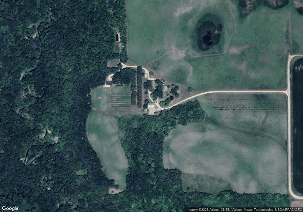
Map
Nearby Homes
- 0 Tbd Butternut Valley Township Unit 7038031
- 0 T-183 at 227th St Unit NOC6331274
- 000 Drill Dr
- 658 658 Daisy Ct
- 904 904 8th St
- 398 Collin Dr
- 304 Collin Dr
- 310 Collin Dr
- 316 Collin Dr
- 322 Collin Dr
- 328 Collin Dr
- 334 Collin Dr
- 340 Collin Dr
- 326 Ashlynn Ct
- 319 Ashlynn Ct
- 325 Ashlynn Ct
- 327 Ashlynn Ct
- 321 Ashlynn Ct
- 317 Ashlynn Ct
- 50078 231st Ln
- 23075 505th Ln
- 50099 233rd Ln
- 49982 231st Ln
- 50083 233rd Ln
- 50380 State Highway 68
- 50104 State Highway 68
- 52781 T-443
- 50488 State Highway 68
- 23245 498th Ln
- 50221 State Highway 68
- 50680 State Highway 68
- 498 233rd Ln
- 50682 State Highway 68
- 50682 State Highway 68
- 23070 506th Ln
- 50021 227th St
- 49818 231st Ln
- 23235 498th Ln
- 49837 State Highway 68