50321 Highway 71 Scottsbluff, NE 69361
Estimated Value: $496,483 - $632,000
5
Beds
4
Baths
2,682
Sq Ft
$213/Sq Ft
Est. Value
About This Home
This home is located at 50321 Highway 71, Scottsbluff, NE 69361 and is currently estimated at $572,121, approximately $213 per square foot. 50321 Highway 71 is a home with nearby schools including Longfellow Elementary School, Bluffs Middle School, and Scottsbluff Senior High School.
Ownership History
Date
Name
Owned For
Owner Type
Purchase Details
Closed on
Nov 18, 2013
Sold by
Blaylock Avis
Bought by
Sindt Michael H and Sindt Brenda F
Current Estimated Value
Home Financials for this Owner
Home Financials are based on the most recent Mortgage that was taken out on this home.
Original Mortgage
$170,000
Outstanding Balance
$127,079
Interest Rate
4.29%
Mortgage Type
Commercial
Estimated Equity
$445,042
Create a Home Valuation Report for This Property
The Home Valuation Report is an in-depth analysis detailing your home's value as well as a comparison with similar homes in the area
Home Values in the Area
Average Home Value in this Area
Purchase History
| Date | Buyer | Sale Price | Title Company |
|---|---|---|---|
| Sindt Michael H | $355,000 | Ferguson Title Services Llc |
Source: Public Records
Mortgage History
| Date | Status | Borrower | Loan Amount |
|---|---|---|---|
| Open | Sindt Michael H | $170,000 |
Source: Public Records
Tax History Compared to Growth
Tax History
| Year | Tax Paid | Tax Assessment Tax Assessment Total Assessment is a certain percentage of the fair market value that is determined by local assessors to be the total taxable value of land and additions on the property. | Land | Improvement |
|---|---|---|---|---|
| 2024 | $4,316 | $399,665 | $138,790 | $260,875 |
| 2023 | $5,554 | $301,439 | $107,679 | $193,760 |
| 2022 | $5,554 | $301,439 | $107,679 | $193,760 |
| 2021 | $5,732 | $306,080 | $112,320 | $193,760 |
| 2020 | $5,771 | $306,080 | $112,320 | $193,760 |
| 2019 | $7,191 | $382,242 | $163,095 | $219,147 |
| 2018 | $7,244 | $382,242 | $163,095 | $219,147 |
| 2017 | $7,309 | $384,226 | $165,079 | $219,147 |
| 2016 | $7,228 | $378,152 | $165,079 | $213,073 |
| 2015 | $6,998 | $369,114 | $162,247 | $206,867 |
| 2014 | $6,257 | $355,177 | $148,310 | $206,867 |
| 2012 | -- | $324,307 | $117,440 | $206,867 |
Source: Public Records
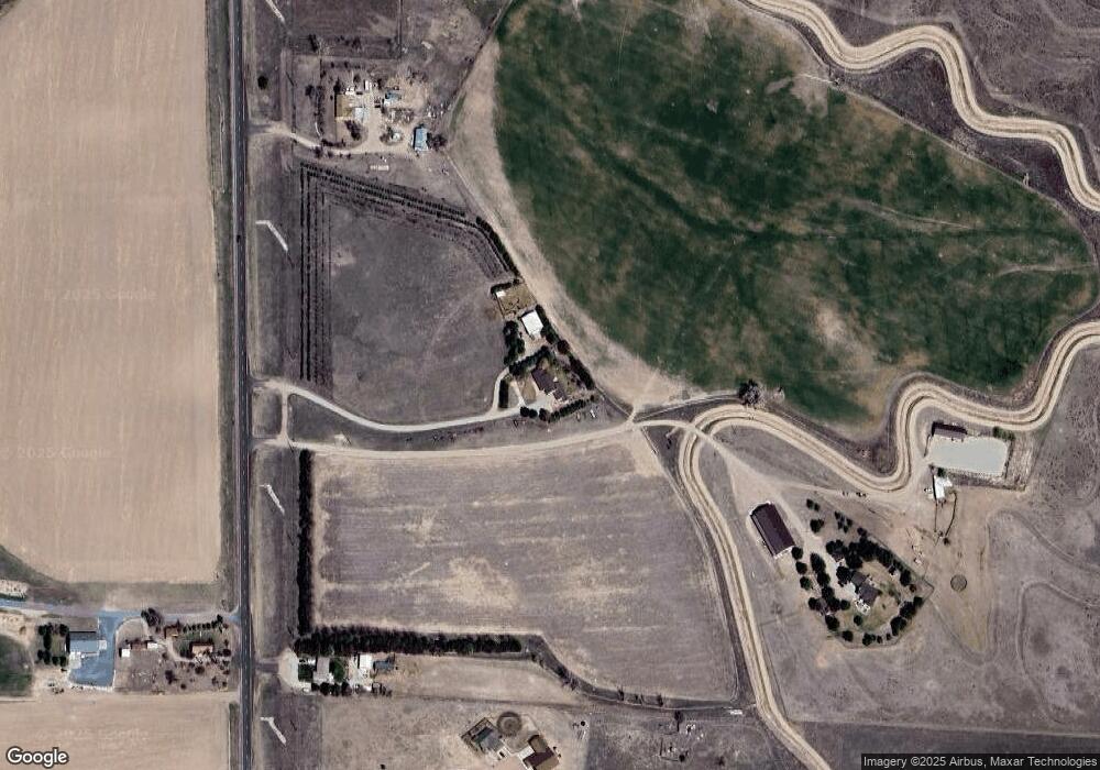
Map
Nearby Homes
- 60260 Highway 71
- 50501 County Road 20
- 50860 Cr 19
- 190226 University St
- 2317 Kingsgate Rd
- 2510 Kingsgate Rd
- 60013 Tripple Dr
- 4510 Apple Ave
- 4301 Shady Ln
- 240597 Lake Minatare Rd
- 908 E 42nd St Unit 4020 Hilltop Place
- TBD W 36th St
- 0 W 36th St Unit 20254154
- Tbd County Road 25
- 1113 E 38th St
- 10 Stoney Creek Dr
- 3415 Ross Ave
- 512 E 35th St
- 3428 Cary Ct
- 414 W 33rd St
- 50207 Highway 71
- 50556 Elena Ct
- 50571 Elena Ct
- 50357 Highway 71
- 50474 Highway 71
- 210088 Ayala Dr
- 210085 Ayala Dr
- 50076 Highway 71
- 50357 Highway 51
- 40965 Highway 71
- 210179 Ayala Dr
- 50360 Leisure Ln
- 50436 Highway 71
- 50737 Highway 71
- 50668 Highway 71
- 50434 Leisure Ln
- 50406 Panorama Dr
- 50435 Leisure Ln
- 50368 Panorama Dr
- 50777 Highway 71