5034 W St Andrews Cir New Orleans, LA 70128
Read Boulevard East NeighborhoodEstimated Value: $336,000 - $378,000
4
Beds
3
Baths
2,700
Sq Ft
$133/Sq Ft
Est. Value
About This Home
This home is located at 5034 W St Andrews Cir, New Orleans, LA 70128 and is currently estimated at $358,662, approximately $132 per square foot. 5034 W St Andrews Cir is a home located in Orleans Parish with nearby schools including Fannie C. Williams Charter School, Einstein Charter at Sherwood Forest, and Einstein Charter School - Village De L'est Elementary.
Ownership History
Date
Name
Owned For
Owner Type
Purchase Details
Closed on
Oct 18, 2021
Sold by
Foley Dominique
Bought by
Clark Tony and Clark Deidrea Mcpherson
Current Estimated Value
Purchase Details
Closed on
Mar 29, 2006
Sold by
Conrad Regina
Bought by
Nelson Deliah
Purchase Details
Closed on
Jun 9, 2005
Sold by
Soule Jeffrye M
Bought by
Foret Edison J
Home Financials for this Owner
Home Financials are based on the most recent Mortgage that was taken out on this home.
Original Mortgage
$228,000
Interest Rate
5.78%
Create a Home Valuation Report for This Property
The Home Valuation Report is an in-depth analysis detailing your home's value as well as a comparison with similar homes in the area
Home Values in the Area
Average Home Value in this Area
Purchase History
| Date | Buyer | Sale Price | Title Company |
|---|---|---|---|
| Clark Tony | -- | None Available | |
| Nelson Deliah | $85,000 | -- | |
| Foret Edison J | $285,000 | -- |
Source: Public Records
Mortgage History
| Date | Status | Borrower | Loan Amount |
|---|---|---|---|
| Previous Owner | Foret Edison J | $228,000 |
Source: Public Records
Tax History Compared to Growth
Tax History
| Year | Tax Paid | Tax Assessment Tax Assessment Total Assessment is a certain percentage of the fair market value that is determined by local assessors to be the total taxable value of land and additions on the property. | Land | Improvement |
|---|---|---|---|---|
| 2025 | $2,696 | $27,270 | $4,960 | $22,310 |
| 2024 | $2,735 | $27,270 | $4,960 | $22,310 |
| 2023 | $2,582 | $26,280 | $3,970 | $22,310 |
| 2022 | $2,582 | $25,160 | $3,970 | $21,190 |
| 2021 | $2,801 | $26,280 | $3,970 | $22,310 |
| 2020 | $2,828 | $26,280 | $3,970 | $22,310 |
| 2019 | $2,935 | $26,280 | $4,960 | $21,320 |
| 2018 | $2,991 | $26,280 | $4,960 | $21,320 |
| 2017 | $3,866 | $26,280 | $4,960 | $21,320 |
| 2016 | $3,989 | $26,280 | $4,960 | $21,320 |
| 2015 | $3,616 | $24,320 | $4,960 | $19,360 |
| 2014 | -- | $24,320 | $4,960 | $19,360 |
| 2013 | -- | $24,320 | $4,960 | $19,360 |
Source: Public Records
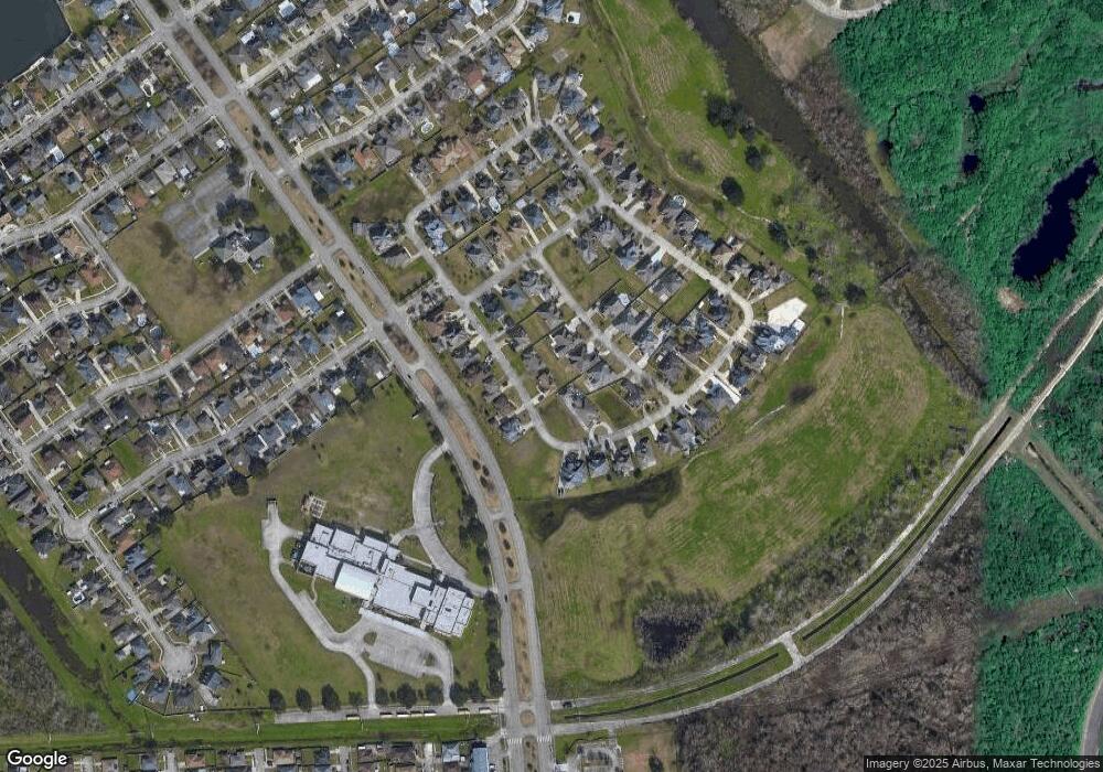
Map
Nearby Homes
- 5083 W St Andrews Cir
- 5050 Par 4 Dr
- 11405 Longview Dr
- 11303 Midpoint Dr
- 11268 Notaway Ln
- 11276 Fernley Dr
- 5440 Eastover Drive South None
- 5320 Bullard Ave
- 11611 N Adams Ct
- 11358 Will Stutley Dr
- 4901 Friar Tuck Dr
- 11839 Chef Menteur Hwy
- 11327 Will Stutley Dr
- 151 Horseshoe Bend
- 101 Horseshoe Bend
- 4928 Robin Hood Dr
- 4920 Robin Hood Dr
- 5034 W Saint Andrews Cir
- 5042 W Saint Andrews Cir
- 5042 W St Andrews Cir
- 5035 Par Four Dr
- 11409 S Saint Andrews Cir
- 5043 Par Four Dr
- 5050 W Saint Andrews Cir
- 5035 W St Andrews None
- 5035 W St Andrews Cir
- 5050 W St Andrews Cir
- 5027 Par 4 Dr
- 5035 W Saint Andrews Cir
- 5043 W St Andrews Cir
- 5043 W Saint Andrews Cir
- 5027 W Saint Andrews Cir
- 5051 Par Four Dr
- 5051 Par 4 Dr
- 5019 W St Andrews Cir
- 0 W St Andrews Cir
- 5051 W St Andrews Cir