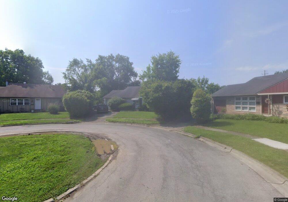
5037 Connie Ct Columbus, OH 43227
Shady Lane NeighborhoodEstimated Value: $216,000 - $297,000
3
Beds
2
Baths
1,008
Sq Ft
$239/Sq Ft
Est. Value
About This Home
This home is located at 5037 Connie Ct, Columbus, OH 43227 and is currently estimated at $240,640, approximately $238 per square foot. 5037 Connie Ct is a home located in Franklin County with nearby schools including Shady Lane Elementary School, Sherwood Middle School, and Walnut Ridge High School.
Ownership History
Date
Name
Owned For
Owner Type
Purchase Details
Closed on
May 2, 2003
Sold by
Cook Theresa
Bought by
Jackson Valerie L
Current Estimated Value
Home Financials for this Owner
Home Financials are based on the most recent Mortgage that was taken out on this home.
Original Mortgage
$101,500
Outstanding Balance
$42,827
Interest Rate
5.87%
Mortgage Type
VA
Estimated Equity
$197,813
Purchase Details
Closed on
Feb 25, 1988
Bought by
Cook Theresa
Purchase Details
Closed on
Jul 1, 1979
Create a Home Valuation Report for This Property
The Home Valuation Report is an in-depth analysis detailing your home's value as well as a comparison with similar homes in the area
Home Values in the Area
Average Home Value in this Area
Purchase History
| Date | Buyer | Sale Price | Title Company |
|---|---|---|---|
| Jackson Valerie L | $100,000 | -- | |
| Cook Theresa | $50,600 | -- | |
| -- | $42,500 | -- |
Source: Public Records
Mortgage History
| Date | Status | Borrower | Loan Amount |
|---|---|---|---|
| Open | Jackson Valerie L | $101,500 |
Source: Public Records
Tax History
| Year | Tax Paid | Tax Assessment Tax Assessment Total Assessment is a certain percentage of the fair market value that is determined by local assessors to be the total taxable value of land and additions on the property. | Land | Improvement |
|---|---|---|---|---|
| 2025 | $2,974 | $66,260 | $19,250 | $47,010 |
| 2024 | $2,974 | $66,260 | $19,250 | $47,010 |
| 2023 | $2,936 | $66,255 | $19,250 | $47,005 |
| 2022 | $1,708 | $32,940 | $6,580 | $26,360 |
| 2021 | $1,711 | $32,940 | $6,580 | $26,360 |
| 2020 | $1,714 | $32,940 | $6,580 | $26,360 |
| 2019 | $1,571 | $25,900 | $5,250 | $20,650 |
| 2018 | $1,627 | $25,900 | $5,250 | $20,650 |
| 2017 | $1,714 | $25,900 | $5,250 | $20,650 |
| 2016 | $1,857 | $28,040 | $6,130 | $21,910 |
| 2015 | $1,686 | $28,040 | $6,130 | $21,910 |
| 2014 | $1,690 | $28,040 | $6,130 | $21,910 |
| 2013 | $980 | $32,970 | $7,210 | $25,760 |
Source: Public Records
Map
Nearby Homes
- 4991 Justin Rd
- 1310 Manfeld Dr
- 1260 Country Club Rd
- 1470 Efner Dr
- 1472 Blaine Dr
- 931 Antwerp Rd
- 935 Duke Rd
- 1211 Shady Lane Rd
- 4819 Calvin Dr
- 1193 Marble Dr
- 1243 Simpson Dr
- 1522 Devonhurst Dr
- 5495 Bradbury Ln
- 4677 E Livingston Ave
- 5368 Yorkshire Village Ln Unit B23
- 4530 Amesbury Rd
- 4701 Janis Dr
- 1281 Maetzel Dr
- 1085 S Hamilton Rd
- 1767 Woodcrest Rd
- 5050 Connie Ct
- 1209 Norman Dr
- 1211 Norman Dr
- 1207 Norman Dr
- 1213 Norman Dr
- 1205 Norman Dr
- 5048 Connie Ct
- 1176 Manfeld Dr
- 5033 Connie Ct
- 1215 Norman Dr
- 1203 Norman Dr
- 1178 Manfeld Dr
- 1201 Norman Dr
- 1199 Norman Dr
- 1191 Norman Dr
- 1158 Manfeld Dr
- 1217 Norman Dr
- 1218 Norman Dr
- 1220 Norman Dr
- 1216 Norman Dr
Your Personal Tour Guide
Ask me questions while you tour the home.