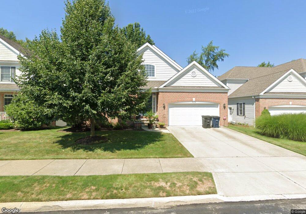
5039 Bristol Ct Cleveland, OH 44124
Estimated Value: $409,297 - $627,000
2
Beds
2
Baths
1,934
Sq Ft
$265/Sq Ft
Est. Value
About This Home
This home is located at 5039 Bristol Ct, Cleveland, OH 44124 and is currently estimated at $512,074, approximately $264 per square foot. 5039 Bristol Ct is a home located in Cuyahoga County with nearby schools including Sunview Elementary School, Greenview Upper Elementary School, and Memorial Junior High School.
Ownership History
Date
Name
Owned For
Owner Type
Purchase Details
Closed on
Jan 7, 2008
Sold by
Esclamado Ramon and Esclamado Lorraine
Bought by
Randall Andrew E and Bastos Randall Adriana M
Current Estimated Value
Home Financials for this Owner
Home Financials are based on the most recent Mortgage that was taken out on this home.
Original Mortgage
$273,000
Interest Rate
6.12%
Mortgage Type
Purchase Money Mortgage
Purchase Details
Closed on
Jul 27, 2005
Sold by
Bristol Court Llc
Bought by
Esclamado Ramon and Esclamado Lorraine
Create a Home Valuation Report for This Property
The Home Valuation Report is an in-depth analysis detailing your home's value as well as a comparison with similar homes in the area
Home Values in the Area
Average Home Value in this Area
Purchase History
| Date | Buyer | Sale Price | Title Company |
|---|---|---|---|
| Randall Andrew E | $364,000 | Erie Title Agency | |
| Esclamado Ramon | $325,000 | Northstar Title |
Source: Public Records
Mortgage History
| Date | Status | Borrower | Loan Amount |
|---|---|---|---|
| Closed | Randall Andrew E | $273,000 |
Source: Public Records
Tax History Compared to Growth
Tax History
| Year | Tax Paid | Tax Assessment Tax Assessment Total Assessment is a certain percentage of the fair market value that is determined by local assessors to be the total taxable value of land and additions on the property. | Land | Improvement |
|---|---|---|---|---|
| 2024 | $9,802 | $140,280 | $27,090 | $113,190 |
| 2023 | $10,247 | $118,580 | $21,070 | $97,510 |
| 2022 | $10,188 | $118,580 | $21,070 | $97,510 |
| 2021 | $10,104 | $118,580 | $21,070 | $97,510 |
| 2020 | $10,471 | $107,800 | $19,150 | $88,660 |
| 2019 | $9,455 | $308,000 | $54,700 | $253,300 |
| 2018 | $9,900 | $107,800 | $19,150 | $88,660 |
| 2017 | $10,474 | $110,430 | $24,470 | $85,960 |
| 2016 | $10,399 | $110,430 | $24,470 | $85,960 |
| 2015 | $9,656 | $110,430 | $24,470 | $85,960 |
| 2014 | $9,656 | $103,220 | $22,860 | $80,360 |
Source: Public Records
Map
Nearby Homes
- 5027 Bristol Ct
- 5079 Haverford Dr
- 1667 Richmond Rd
- 5144 Oakmont Dr
- 5159 Haverford Dr
- 1691 Harwich Rd
- 5204 Haverford Dr
- 5103 Eastover Rd
- 5243 Oakmont Dr
- 1333 Clearview Rd
- 1512 Parkside Cir
- 4800 Farnhurst Rd
- 5227 E Farnhurst Rd
- 4695 Mayfield Rd Unit A
- 4685 Mayfield Rd Unit F
- 1368 Irene Rd
- 1548 Biltmore Rd
- 1443 Churchill Rd
- 1433 Churchill Rd
- 250 Eagle Point Dr
- 5037 Bristol Ct
- 5041 Bristol Ct
- 5035 Bristol Ct
- 5042 Bristol Ct
- 5033 Bristol Ct
- 5044 Bristol Ct
- 5045 Bristol Ct
- 5043 Bristol Ct
- 5031 Bristol Ct
- 5029 Bristol Ct
- 5047 Bristol Ct
- 5049 Bristol Ct
- 4979 Countryside Rd
- 1564 Richmond Rd
- 5051 Bristol Ct
- 5024 Bristol Ct
- 5022 Bristol Ct
- 5020 Bristol Ct
- 5053 Bristol Ct
- 4977 Countryside Rd