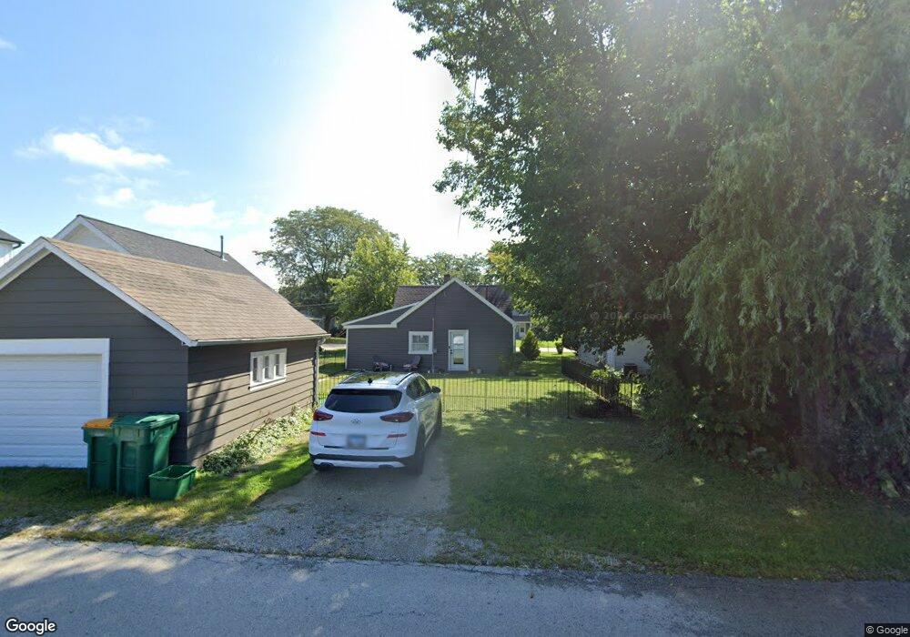
504 2nd St Lemont, IL 60439
Southeast Lemont NeighborhoodEstimated Value: $209,720 - $296,000
2
Beds
1
Bath
480
Sq Ft
$534/Sq Ft
Est. Value
About This Home
This home is located at 504 2nd St, Lemont, IL 60439 and is currently estimated at $256,430, approximately $534 per square foot. 504 2nd St is a home located in Cook County with nearby schools including Oakwood School, River Valley School, and Old Quarry Middle School.
Ownership History
Date
Name
Owned For
Owner Type
Purchase Details
Closed on
Feb 9, 2001
Sold by
Reinhard Brock R
Bought by
Martin James P and Martin Kim
Current Estimated Value
Home Financials for this Owner
Home Financials are based on the most recent Mortgage that was taken out on this home.
Original Mortgage
$67,875
Interest Rate
7.02%
Purchase Details
Closed on
Mar 24, 1997
Sold by
Heritage Trust Company
Bought by
Reinhard Brock R
Purchase Details
Closed on
May 10, 1994
Sold by
Mingori Frank C and Ozer Janice C
Bought by
First National Bank Of Lockport
Create a Home Valuation Report for This Property
The Home Valuation Report is an in-depth analysis detailing your home's value as well as a comparison with similar homes in the area
Home Values in the Area
Average Home Value in this Area
Purchase History
| Date | Buyer | Sale Price | Title Company |
|---|---|---|---|
| Martin James P | $90,500 | -- | |
| Reinhard Brock R | $78,000 | -- | |
| First National Bank Of Lockport | -- | -- |
Source: Public Records
Mortgage History
| Date | Status | Borrower | Loan Amount |
|---|---|---|---|
| Previous Owner | Martin James P | $67,875 |
Source: Public Records
Tax History Compared to Growth
Tax History
| Year | Tax Paid | Tax Assessment Tax Assessment Total Assessment is a certain percentage of the fair market value that is determined by local assessors to be the total taxable value of land and additions on the property. | Land | Improvement |
|---|---|---|---|---|
| 2024 | $2,636 | $16,000 | $3,900 | $12,100 |
| 2023 | $2,797 | $16,000 | $3,900 | $12,100 |
| 2022 | $2,797 | $11,519 | $3,450 | $8,069 |
| 2021 | $2,711 | $11,519 | $3,450 | $8,069 |
| 2020 | $2,739 | $11,519 | $3,450 | $8,069 |
| 2019 | $2,589 | $11,194 | $3,450 | $7,744 |
| 2018 | $2,547 | $11,194 | $3,450 | $7,744 |
| 2017 | $2,509 | $11,194 | $3,450 | $7,744 |
| 2016 | $1,866 | $7,905 | $2,850 | $5,055 |
| 2015 | $1,894 | $7,905 | $2,850 | $5,055 |
| 2014 | $1,912 | $7,905 | $2,850 | $5,055 |
| 2013 | $1,944 | $8,553 | $2,850 | $5,703 |
Source: Public Records
Map
Nearby Homes
- 611 Houston St
- 11174 Tuscany Ln
- 390 Kromray Rd
- 614 Czacki St
- 700 Czacki St
- 1216 Country Ln
- 414 Hillview Ct
- 606 Porter St
- 11716 Center Dr
- 1156 Covington Dr
- 14517 Albany Ave
- 523 Talcott Ave
- 714 Walnut St
- 207 E Custer St
- Fremont Plan at Covington Knolls
- Eden Plan at Covington Knolls
- Danbury Plan at Covington Knolls
- Calysta Plan at Covington Knolls
- Briarcliffe Plan at Covington Knolls
- Amberwood Plan at Covington Knolls