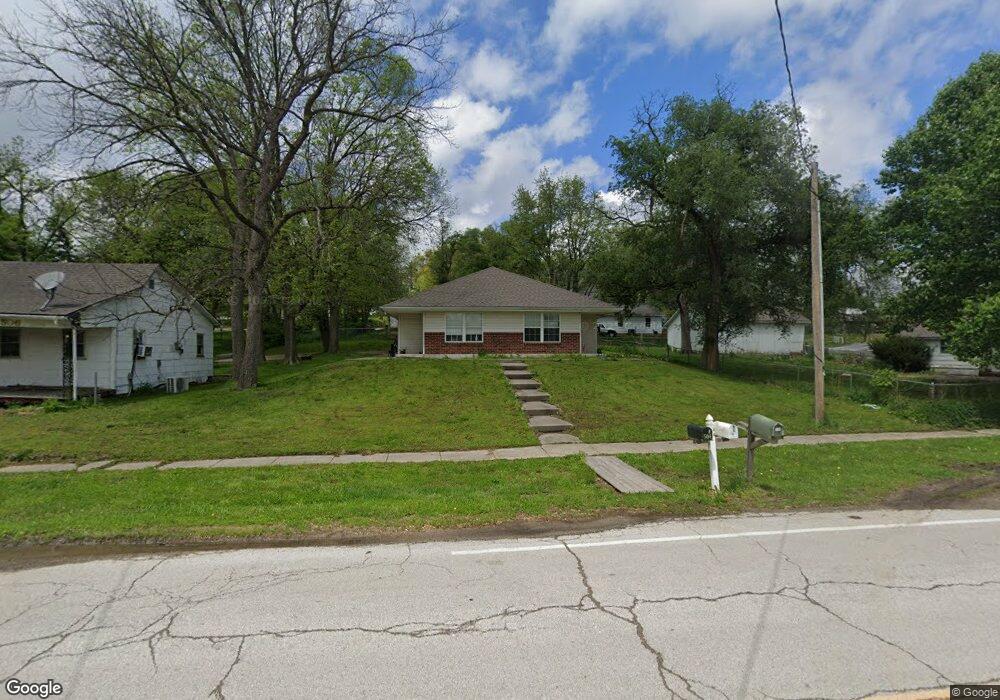
504 Frank St Edgerton, MO 64444
Estimated Value: $240,000 - $288,264
2
Beds
2
Baths
1,832
Sq Ft
$144/Sq Ft
Est. Value
About This Home
This home is located at 504 Frank St, Edgerton, MO 64444 and is currently estimated at $264,132, approximately $144 per square foot. 504 Frank St is a home located in Platte County with nearby schools including North Platte Elementary School, North Platte Intermediate School, and North Platte Junior High School.
Ownership History
Date
Name
Owned For
Owner Type
Purchase Details
Closed on
Jul 2, 2024
Sold by
Chrisman Genevieve
Bought by
Chrisman Family Trust and Chrisman
Current Estimated Value
Purchase Details
Closed on
Apr 18, 2024
Sold by
Trimble L Llc
Bought by
Chrisman Genevieve
Home Financials for this Owner
Home Financials are based on the most recent Mortgage that was taken out on this home.
Original Mortgage
$161,250
Interest Rate
6.88%
Mortgage Type
New Conventional
Purchase Details
Closed on
Jan 9, 2008
Sold by
Iv Llc
Bought by
Trimble I Llc
Create a Home Valuation Report for This Property
The Home Valuation Report is an in-depth analysis detailing your home's value as well as a comparison with similar homes in the area
Purchase History
| Date | Buyer | Sale Price | Title Company |
|---|---|---|---|
| Chrisman Family Trust | -- | None Listed On Document | |
| Chrisman Genevieve | -- | Meridian Title | |
| Chrisman Genevieve | -- | Meridian Title | |
| Trimble I Llc | -- | None Available |
Source: Public Records
Mortgage History
| Date | Status | Borrower | Loan Amount |
|---|---|---|---|
| Previous Owner | Chrisman Genevieve | $161,250 |
Source: Public Records
Tax History
| Year | Tax Paid | Tax Assessment Tax Assessment Total Assessment is a certain percentage of the fair market value that is determined by local assessors to be the total taxable value of land and additions on the property. | Land | Improvement |
|---|---|---|---|---|
| 2025 | $2,327 | $32,572 | $601 | $31,971 |
| 2024 | $2,325 | $32,572 | $601 | $31,971 |
| 2023 | $2,325 | $32,572 | $601 | $31,971 |
| 2022 | $2,038 | $28,447 | $601 | $27,846 |
| 2021 | $2,027 | $28,447 | $601 | $27,846 |
| 2020 | $1,877 | $25,870 | $1,900 | $23,970 |
| 2019 | $1,877 | $25,870 | $1,900 | $23,970 |
| 2018 | $1,880 | $25,870 | $1,900 | $23,970 |
| 2017 | $1,881 | $25,870 | $1,900 | $23,970 |
| 2016 | $1,916 | $26,311 | $1,900 | $24,411 |
| 2015 | $1,916 | $26,311 | $1,900 | $24,411 |
| 2013 | $1,867 | $26,311 | $0 | $0 |
Source: Public Records
Map
Nearby Homes
- 501 N Platte Ave
- 12120 SE West Rd
- 8894 SW Highway Z
- 8894 Ssr-Z Hwy
- Lot 1, 2 Z Hwy
- Z Highway Lot: 1 Unit 2
- Lot 3 Z Hwy
- Lot 2 Z Hwy
- 19845 S Ridgely Rd
- 7127 SW Karen Rd
- 10A Highway 169
- 2 Redbud Ln
- 501 Port Arthur Rd
- 6320 NE 164th St
- 100 Lake Meadows Dr
- 102 Lake Meadows Dr
- 0 Cockriel Rd
- 300 NE 192nd Terrace
- 900 NE 194th Terrace
- 901 NE 194th Terrace
Your Personal Tour Guide
Ask me questions while you tour the home.