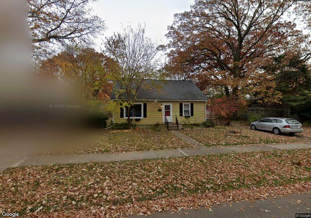
504 Kensington Ave Ferndale, MI 48220
Estimated Value: $249,000 - $280,000
3
Beds
1
Bath
1,300
Sq Ft
$204/Sq Ft
Est. Value
About This Home
This home is located at 504 Kensington Ave, Ferndale, MI 48220 and is currently estimated at $264,757, approximately $203 per square foot. 504 Kensington Ave is a home located in Oakland County with nearby schools including Ferndale Lower Elementary Campus, Ferndale Upper Elementary Campus, and Ferndale Middle School.
Ownership History
Date
Name
Owned For
Owner Type
Purchase Details
Closed on
Dec 23, 2020
Sold by
Onyx Thomas and Onyx Gina
Bought by
Bacon Michael
Current Estimated Value
Home Financials for this Owner
Home Financials are based on the most recent Mortgage that was taken out on this home.
Original Mortgage
$152,000
Outstanding Balance
$135,567
Interest Rate
2.8%
Mortgage Type
New Conventional
Estimated Equity
$129,190
Purchase Details
Closed on
Dec 6, 1999
Sold by
Camper Douglas E
Bought by
Onyx Thomas
Home Financials for this Owner
Home Financials are based on the most recent Mortgage that was taken out on this home.
Original Mortgage
$25,000
Interest Rate
7.81%
Create a Home Valuation Report for This Property
The Home Valuation Report is an in-depth analysis detailing your home's value as well as a comparison with similar homes in the area
Home Values in the Area
Average Home Value in this Area
Purchase History
| Date | Buyer | Sale Price | Title Company |
|---|---|---|---|
| Bacon Michael | $160,000 | Vanguard Title Company | |
| Onyx Thomas | $114,000 | -- |
Source: Public Records
Mortgage History
| Date | Status | Borrower | Loan Amount |
|---|---|---|---|
| Open | Bacon Michael | $152,000 | |
| Previous Owner | Onyx Thomas | $25,000 |
Source: Public Records
Tax History Compared to Growth
Tax History
| Year | Tax Paid | Tax Assessment Tax Assessment Total Assessment is a certain percentage of the fair market value that is determined by local assessors to be the total taxable value of land and additions on the property. | Land | Improvement |
|---|---|---|---|---|
| 2024 | $5,669 | $133,410 | $0 | $0 |
| 2023 | $6,179 | $118,470 | $0 | $0 |
| 2022 | $5,732 | $108,460 | $0 | $0 |
| 2021 | $5,605 | $99,680 | $0 | $0 |
| 2020 | $3,573 | $90,600 | $0 | $0 |
| 2019 | $3,141 | $75,440 | $0 | $0 |
| 2018 | $2,905 | $61,650 | $0 | $0 |
| 2017 | $2,863 | $59,160 | $0 | $0 |
| 2016 | $2,827 | $50,340 | $0 | $0 |
| 2015 | -- | $44,160 | $0 | $0 |
| 2014 | -- | $38,770 | $0 | $0 |
| 2011 | -- | $50,690 | $0 | $0 |
Source: Public Records
Map
Nearby Homes
- 695 Livernois St
- 768 Pinecrest Dr
- 832 Pinecrest Dr
- 591 Parkside Way Unit 16
- 20401 Santa Rosa Dr
- 21078 Mitchelldale Ave
- 20235 Prairie St
- 20235 San Juan Dr
- 860 Gardendale St
- 20441 Gardendale St
- 20174 San Juan Dr
- 20805 Bethlawn Blvd
- 21392 Bethlawn Blvd
- 20200 Woodingham Dr
- 535 W Marshall St
- 20145 Santa Barbara Dr
- 20179 Canterbury Rd
- 20115 Santa Barbara Dr
- 21036 Westview Ave
- 20038 Santa Rosa Dr
- 514 Kensington Ave
- 446 Kensington Ave
- 501 Stratford Rd
- 505 Stratford Rd
- 526 Kensington Ave
- 449 Stratford Rd
- 515 Stratford Rd
- 513 Kensington Ave
- 525 Stratford Rd
- 521 Kensington Ave
- 536 Kensington Ave
- 449 Kensington Ave
- 420 Kensington Ave
- 535 Stratford Rd
- 423 Stratford Rd
- 427 Kensington Ave
- 1335 Northway St
- 410 Kensington Ave
- 543 Stratford Rd
- 415 Stratford Rd